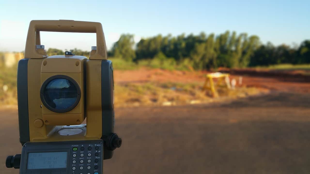
Are you considering purchasing a piece of land, or do you already own a plot? Then, you may have heard of the importance of conducting a land survey or plot plan. These assessments provide valuable information to assist property decisions, whether buying or managing a piece of land.
This guide comprehensively explains land surveys and plot plans, including their purpose, contents, differences, and cost expectations.
Stay informed and make informed decisions about your land. Read on to learn more about land surveys and plot plans.
Related: The Ultimate Guide to ALTA Surveys
When to Choose a Land Survey
You can use land surveys for various reasons, including for people who own a piece of land and those considering purchasing a piece of property. A land survey can provide valuable information and help individuals make informed decisions about their land or potential land purchases.
In a land survey, a property’s boundaries, features, and dimensions are accurately measured and recorded. You can use this information to resolve disputes, support real estate transactions, and assist with land development and construction projects.
Additionally, a land survey can uncover any potential issues or encroachments on a property, allowing individuals to address them before they become more significant problems.
Whether for personal or business purposes, choosing to conduct a land survey is a wise investment for anyone who wants a clear understanding of their property and its boundaries.
Click here to learn more about Millman Land National Land Services’ 20+ years of surveying experience!
How to Prepare for a Land Survey
Preparation is critical when it comes to a land survey. Here are some tips to help ensure a smooth and accurate survey:
- Identify the Survey Boundaries – Make sure to define the surveyed property’s boundaries clearly.
- Obtain Necessary Permits – Obtain any necessary permits or approvals from local authorities.
- Remove Obstacles – Clear any obstacles that might obstruct the surveyor’s access to the property, such as parked vehicles or equipment.
- Gather Previous Surveys – Provide the surveyor with any previous surveys or maps of the property if available.
- Communicate with the Surveyor – Discuss any specific concerns or requests with the surveyor before the survey takes place.
By taking these steps, you can ensure that the land survey goes smoothly and that you receive the most accurate and complete results possible.
What Does a Land Survey Include?
When someone performs a land survey, the results typically include a scale drawing of the property that has:
- Precise measurements of the parcel and its features.
- The locations of permanent fixtures on the property include buildings, large trees, underground storage tanks, and fencing.
- Information on the property’s suitability for specific purposes, such as the location of a drain field.
- Topographic contours that provide a visual representation of the property’s natural elevations and slopes.
In addition to the above, a land survey may indicate any encroachments or easements on the property and any boundary disputes or other potential issues.
What is the Cost of a Land Survey, and Who Pays for It?
Determining who pays for a land survey depends on the purpose of the survey. For example, suppose the parcel of land is sold, improved, or divided. In that case, the property owner is typically responsible for covering the cost.
However, suppose the survey is conducted due to a boundary dispute. In that case, the disputing party is generally responsible for payment.
The cost of a land survey can vary based on several factors, including the complexity of the parcel. However, on average, the price of a land survey ranges from $300 to $1200.
Related: Drones, Virtual Reality, And Real Estate – A Complete Guide
When to Choose a Plot Plan
A plot plan is a detailed diagram of a parcel of land that shows its boundaries, topography, and the locations of any structures and features on the property. This type of survey is typically used for architectural or planning purposes, such as designing a new building or landscaping project.
Plot plans provide essential information on the dimensions and shape of the property, as well as the location of any obstacles or limitations, such as trees, fences, or utility lines.
A plot plan can be a valuable tool for determining the feasibility of a building project and ensuring compliance with local zoning and building regulations.
What is the Cost of a Plot Plan?
The cost of a plot plan can vary depending on various factors, such as the size and complexity of the property, the location of the property, and the services included in the plan.
On average, the cost of a plot plan ranges from $100 to $500, with an average price of $300. It’s important to note that the cost of a plot plan is usually less than that of a complete land survey.
How to Draw a Plot Plan
To draw a plot plan, you need to follow these steps:
- Acquire a Copy of the Land Survey or Plat Map – These maps will provide you with the boundaries of the property and the location of any permanent features, such as utility lines and sidewalks.
- Measure the Property – Using a measuring tape, measure the length and width of all structures and features on the property, such as buildings, sidewalks, and trees.
- Draw the Layout – Create a simple outline of the property, structures, and features on graph paper or a computer drawing program. Make sure to include any setbacks and easements that may affect the property.
- Add Dimensions – Measure and mark the dimensions of each structure and feature, including the setbacks and easements.
- Review and Adjust – Review the plot plan to ensure all dimensions are accurate and the layout accurately reflects the property. Make any necessary adjustments until you are satisfied with the final product.
It’s important to note that while anyone can draw a plot plan, professional surveying services can provide you with a more accurate and detailed plan.
Plot Plans Versus Land Surveys
A plot plan is a scaled diagram that displays the boundaries and dimensions of a specific piece of land, including any structures, such as buildings or fences. It is typically used for planning and design purposes.
On the other hand, a land survey is a more comprehensive study of the land that provides a complete and accurate picture of the property, including its boundaries, features, and measurements. It often includes a plot plan and additional information such as topographic contours, underground storage tanks, and large trees.
While a plot plan provides a basic understanding of the land, a land survey is a more detailed and legally recognized representation of the property.
Related: Plat Survey – How to Get One
Turn to Professionals For Your Land Surveys and Plot Plans
Differentiating between a land survey and a plot plan is essential, as they serve distinct purposes and offer varied information.
While both provide vital information about a piece of property, a land survey offers a more comprehensive and accurate depiction of the property and its features.
Millman National Land Services uses the latest technology and techniques to provide the highest quality land surveys and plot plans.
Whether you’re buying, selling, or developing a property, let us help you make an informed decision and provide you with the necessary information.
Contact Millman National Land Services today to get more information regarding plot plans and land surveys!


