Professional surveying services for commercial development, zoning compliance, and site planning across Mesquite.
Request a Quote
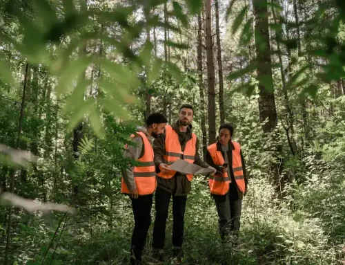
Expert Commercial Land Surveying Services in Mesquite
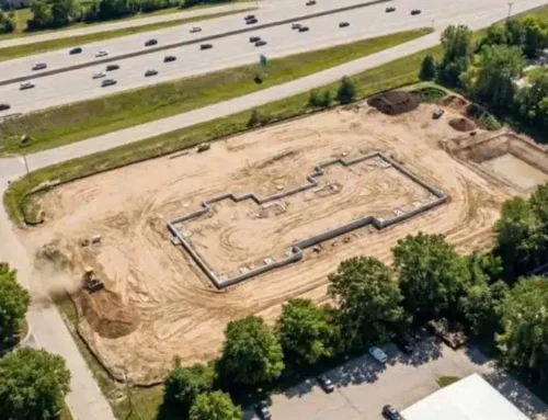
Commercial land surveying provides the accurate measurements and boundary data needed before development begins. In Mesquite’s growing commercial corridors, precise surveys help prevent delays and costly issues. Millman National Land Services delivers reliable survey and zoning support for projects across Mesquite and the Dallas–Fort Worth area.
Learn More / View Services
Why Mesquite Property Owners Choose Millman
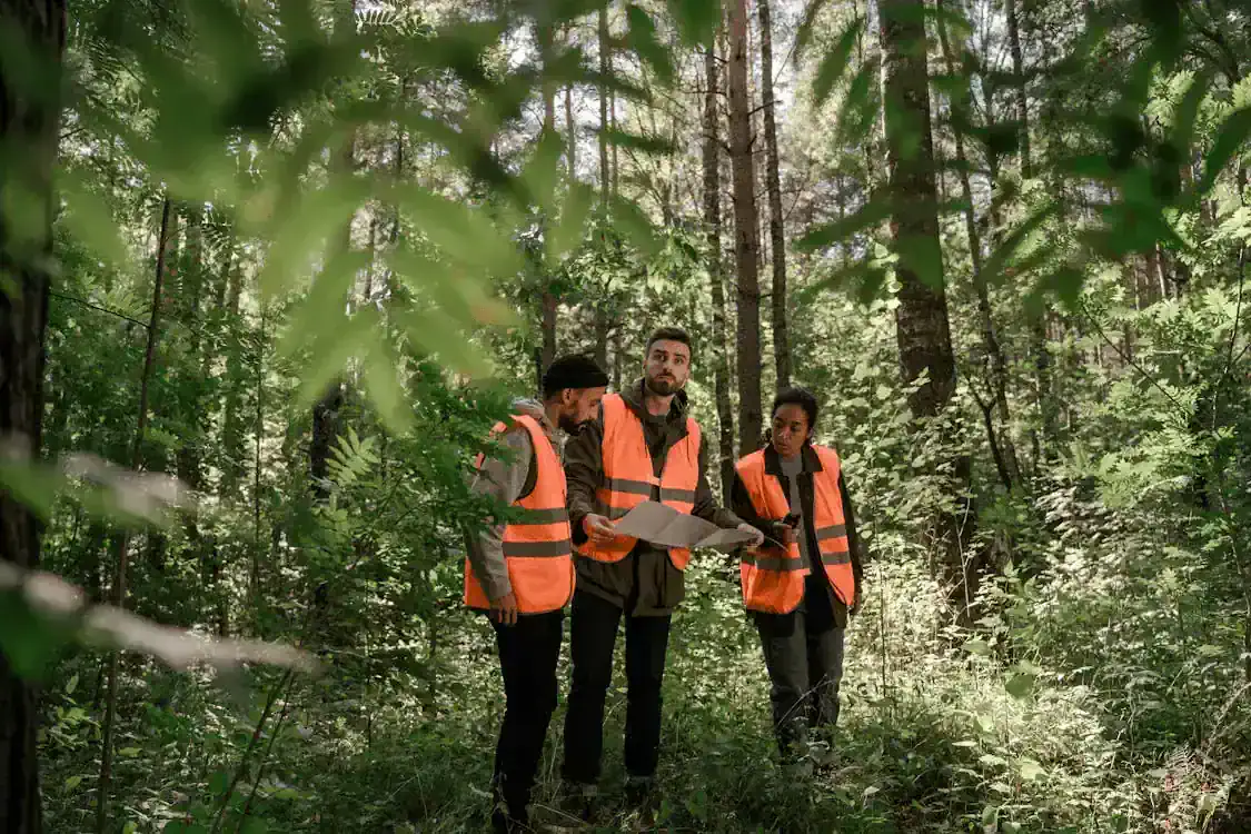
Local Knowledge That Counts
Our team knows the terrain, permit processes, and municipal codes throughout Mesquite and surrounding Dallas County. That familiarity speeds up projects and reduces surprises.
Direct Communication, Real Support
You work directly with our project coordinators and licensed surveyors. No runaround, no waiting on subcontractors. We keep you informed at every stage.
Precision You Can Trust
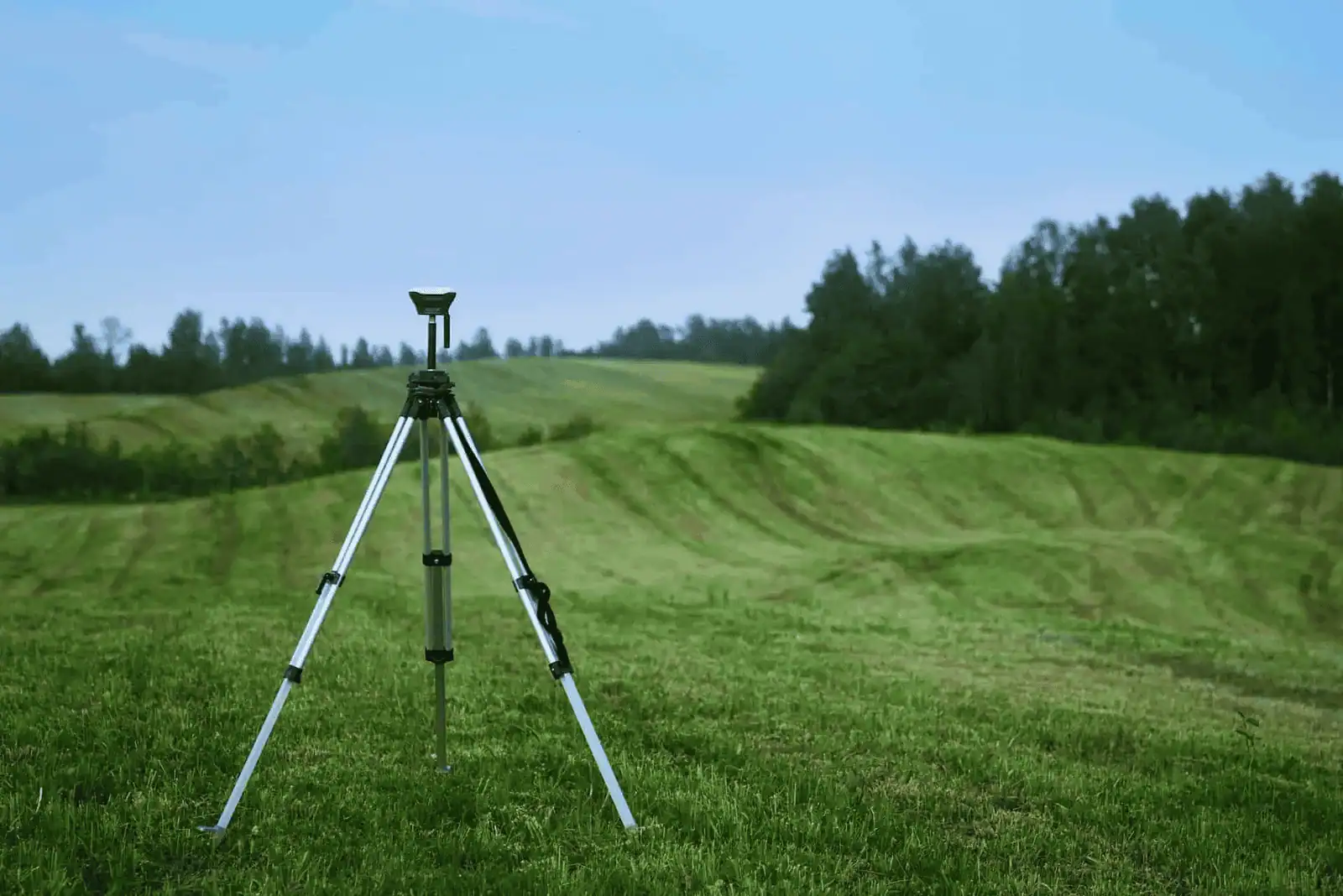
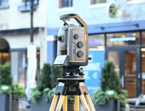
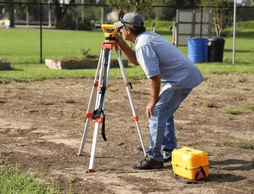
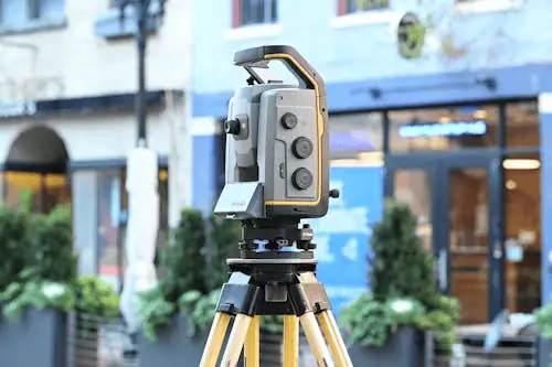
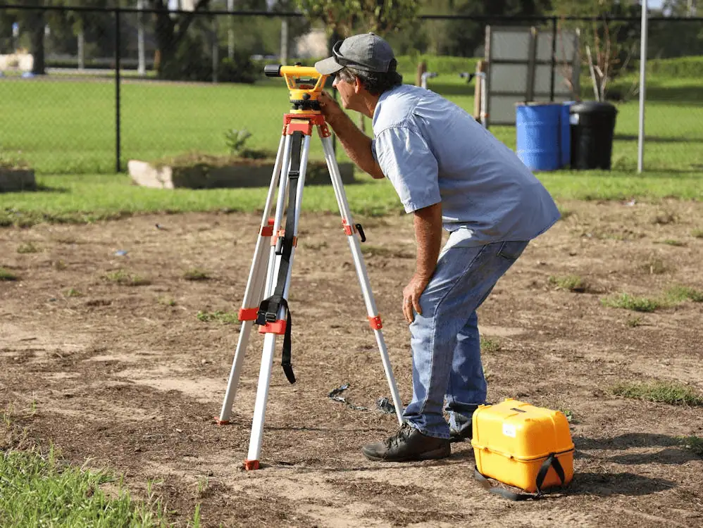
Advanced GPS equipment, drone technology, and 3D scanning give you data you can rely on. Our reports meet the standards lenders, title companies, and attorneys expect.
Areas of Expertise
- ALTA Land Surveys
- Telecommunications Services
- Zoning Compliance Reports (ZCR)
- Environmental Site Assessments (ESA)
- Property Condition Assessments (PCA)
- Virtual Site Walks
Contact Us
Decades of Commercial Surveying Experience in North Texas
Millman National Land Services, now part of CBRE, has built a reputation for handling complex commercial projects across the United States. In the Mesquite area, we’ve completed surveys for retail developments, industrial parks, office complexes, and mixed-use properties.
Our in-house team includes licensed surveyors, zoning analysts, attorneys, and project coordinators, all working together to deliver accurate results on schedule. That vertical integration means fewer delays, clearer communication, and better cost control for your project.
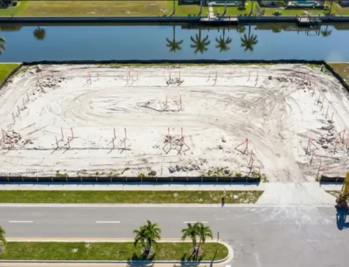
Land Mapping for Smarter Site Planning
Land mapping creates detailed topographic data that shows elevation changes, drainage patterns, and existing features on your site. This information is critical for architects and engineers planning commercial construction in Mesquite.
Learn More
Corner Records for Property Documentation
Corner records document the exact location of property corners and boundary markers. Commercial transactions often require this documentation to verify property lines and resolve potential disputes before closing.
Learn More
How Commercial Surveying Supports Mesquite Development Projects
A thorough commercial survey does more than establish property boundaries. It identifies easements, encroachments, and access rights that could affect your project. For developers working in Mesquite, where zoning regulations vary across different commercial districts, having detailed survey data upfront helps avoid costly redesigns or permit delays. Our zoning compliance reports break down local land use requirements so you understand exactly what you can and cannot build on a given parcel.
Contact Us

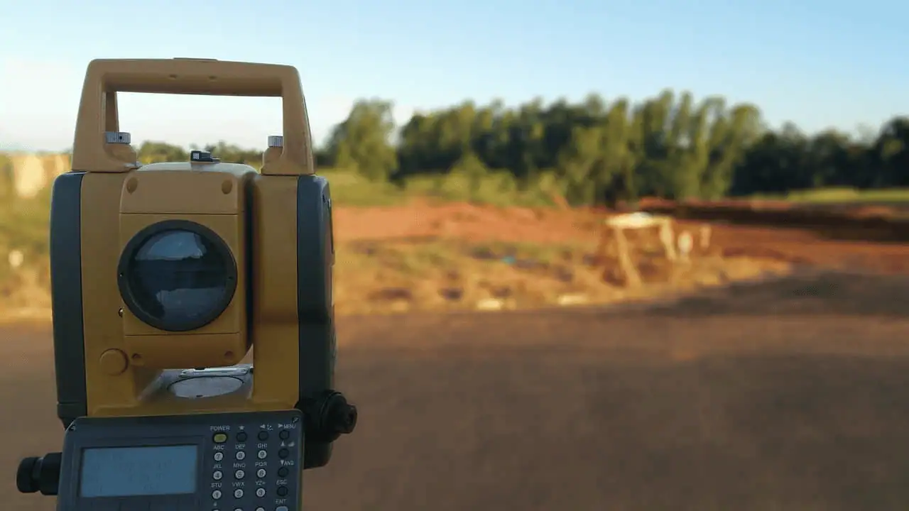
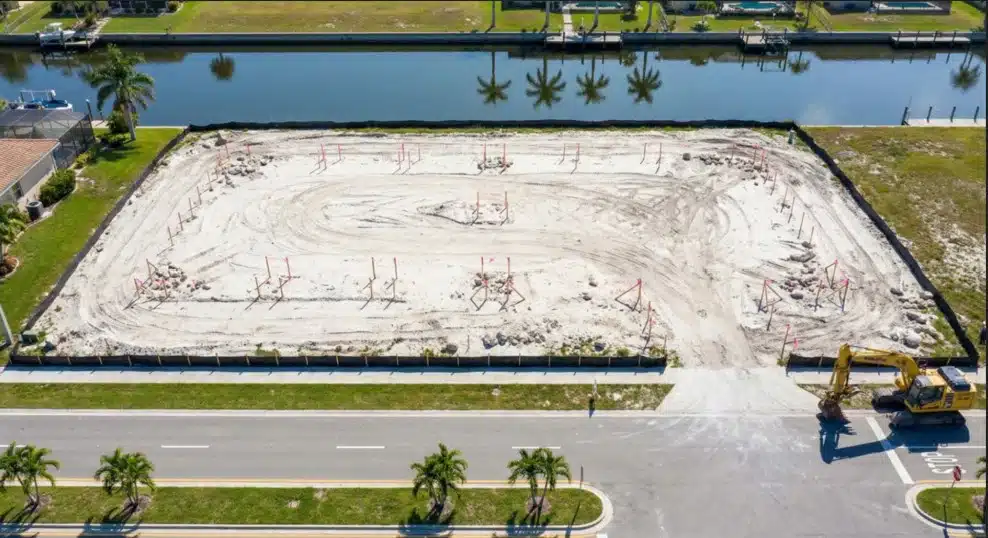
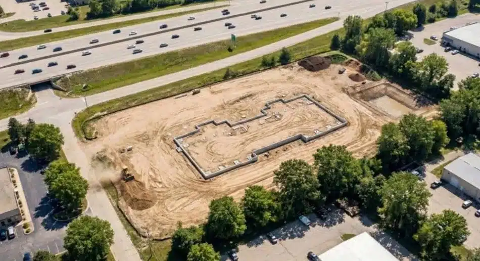
Construction Staking That Keeps Your Build on Track
Construction staking translates your architectural plans into physical markers on the job site. Our surveyors place precise reference points that guide excavation, foundation placement, and structural work. When these stakes are accurate from the start, you avoid the expensive fixes that come from misaligned buildings or structures that encroach on setback lines.
GET STARTED
As-Built Surveys for Project Verification
Measurement Accuracy
We verify that completed construction matches approved plans down to the inch.
Complete Documentation
Detailed records satisfy lender requirements and support future property transactions.
Expert Guidance
Our team helps you navigate any discrepancies between plans and actual construction.
Boundary Surveys for Commercial Properties
Boundary surveys establish the legal limits of your commercial property with precision. For property owners in Mesquite, this information protects against encroachment issues and clarifies easement locations that could affect future development.
When disputes arise over property lines, a professional boundary survey provides the documentation needed to resolve questions quickly. These surveys also identify any discrepancies between recorded deed descriptions and actual conditions on the ground.
Request a Boundary Survey
Why Millman Is the Trusted Choice for Mesquite Commercial Surveys
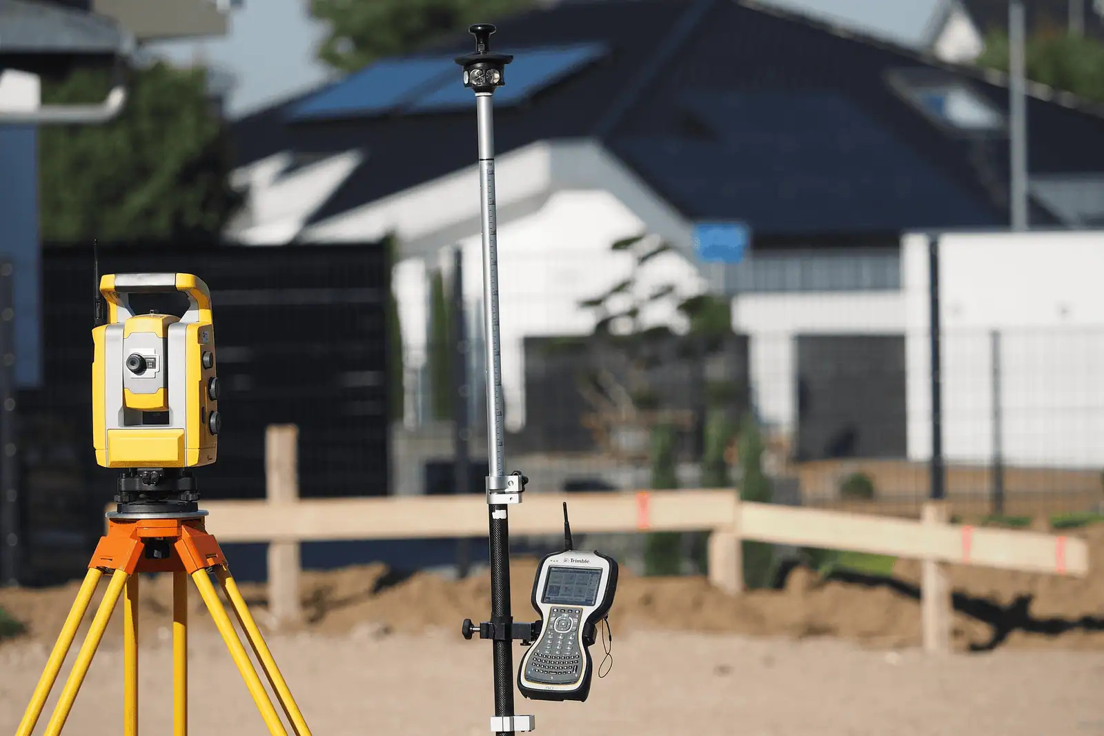
Reliability matters when timelines are tight and transactions are on the line. Millman delivers consistent results using the latest GPS equipment, drone technology for aerial surveys, and 3D scanning capabilities for complex sites.
Our direct employment model means licensed surveyors handle your project from start to finish, without the delays that come from subcontractor coordination. Clients across Mesquite and North Texas count on us for fast turnaround, transparent communication, and survey reports that meet the standards of lenders, title companies, and municipal authorities.
Get a Free Quote

Frequently Asked Questions
Q: What does a commercial land surveyor actually do?
A commercial land surveyor measures and maps property boundaries, identifies easements and encroachments, and provides detailed reports for real estate transactions and development projects. They also perform specialized surveys like ALTA/NSPS surveys that meet lender and title company requirements. The data they collect supports everything from site planning to construction staking.
Q: How long does a commercial survey take in Mesquite?
Timeline depends on property size, complexity, and the type of survey you need. A straightforward boundary survey might take a few days, while a full ALTA survey with zoning analysis could require two to three weeks. Weather, access to records, and coordination with local agencies can also affect the schedule.
Q: What documents should I have ready before ordering a survey?
Gather your current deed, any existing surveys, title commitment or preliminary title report, and site plans if available. For ALTA surveys, your lender or title company may provide a list of optional Table A items they need included. Having these documents ready helps us complete your survey faster.
Q: What affects the cost of a commercial land survey in Mesquite?
Property size, terrain, and the type of survey all influence pricing. ALTA surveys with extensive Table A requirements cost more than basic boundary surveys. Access issues, rush timelines, and the complexity of existing easements or encroachments can also affect the final cost. We provide detailed quotes after reviewing your specific project needs.
Ready to Start Your Mesquite Commercial Project?
Get accurate survey data and zoning insights from a team that knows Mesquite, reach out today.
Contact Us
