Phoenix’s commercial real estate market continues to expand, with new developments reshaping the Valley’s skyline and infrastructure. Whether you’re planning a shopping center in Scottsdale, a warehouse in Tempe, or an office complex downtown, accurate land surveying forms the foundation of every successful project.
Before breaking ground, you need precise measurements, clear boundary lines, and detailed topographic data that meet local regulations and protect your investment.
Precision in every measurement
Phoenix’s rapid growth demands surveyors who understand the unique challenges of desert terrain. A single miscalculation can lead to construction delays, legal disputes, or costly redesigns. When you’re investing in commercial property, precision isn’t optional.
Professional alta land survey services provide the detailed documentation lenders and title companies require for commercial transactions. These surveys follow strict national standards while accounting for Arizona’s specific requirements.
Specialized commercial land surveying
Commercial projects face different challenges than residential surveys. You’re dealing with larger parcels, complex zoning requirements, and multiple stakeholders who need reliable data.
Local regulations vary by municipality across the Valley. Understanding these differences matters when you’re navigating permits, setbacks, and use restrictions. That’s where experienced commercial zoning solutions become valuable, helping you identify potential issues before they become problems.
The surveying process for commercial land typically includes:
- Property boundary verification and monumentation
- Topographic mapping showing elevation changes and natural features
- Identification of easements, encroachments, and right-of-way areas
- Documentation of existing improvements and structures
Our areas of expertise
Construction staking
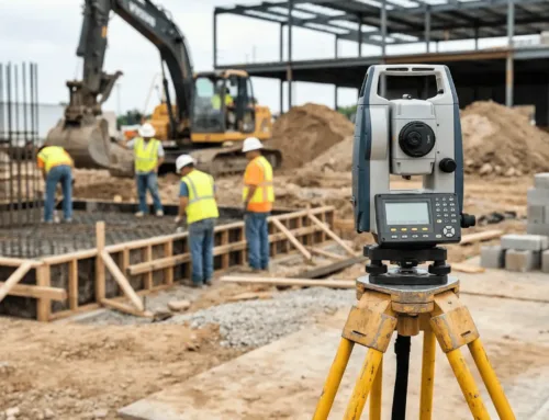
Construction staking translates architectural plans into physical markers on your site. Stakes guide contractors on where to dig, pour, and build according to your approved plans. For commercial projects, this includes everything from building corners to utility locations, ensuring work proceeds according to design specifications.
Boundary surveys
Boundary surveys establish the exact property lines for your commercial parcel. These surveys locate corners, measure distances, and identify any discrepancies between deed descriptions and actual ground conditions. You’ll need this information for closing commercial real estate transactions and resolving any title concerns.
Topographic surveys
Topographic surveys map the terrain of your property, showing elevation changes, drainage patterns, and existing features. In Phoenix, where flash flooding and drainage matter, accurate topographic information protects your investment.
Land mapping
Detailed land mapping combines boundary, topographic, and improvement data into comprehensive site documentation. These maps become the reference point for planning, development, and future modifications to your property.
Corner records
Corner records document property corners with the county, creating an official record of boundary locations. This legal documentation helps prevent disputes and provides a reference point for future surveys.
As-built surveys
As-built surveys document what actually got constructed versus what was planned. These surveys capture the final locations of buildings, utilities, and improvements, providing an accurate record for facility management and future modifications.
Why choose a Phoenix surveyor?
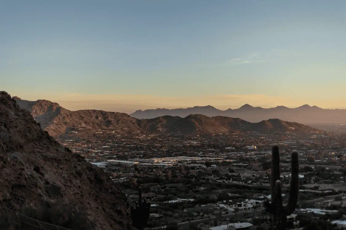
Working with a local surveyor familiar with Phoenix’s landscape and regulations offers distinct advantages. They know which areas require special attention for drainage, understand local building codes, and maintain relationships with city planning departments.
Local expertise means:
- Faster processing of survey requests and permit applications
- Knowledge of area-specific challenges like caliche layers and desert washes
- Understanding of municipal differences across Phoenix metro
- Quick response times for site visits and follow-up questions
Modern surveying technology, like GPS equipment and drone surveys, captures data faster and more accurately. An online property survey review lets stakeholders examine site conditions remotely, speeding up decision-making.
Proven track record
Experience matters when you’re dealing with complex commercial projects. Surveyors who’ve worked across Phoenix understand how different terrain features and local requirements affect each project. They anticipate potential issues and address them before they become expensive problems.
Many commercial real estate professionals rely on established surveying firms for commercial real estate due diligence. With title insurance trends shifting in recent years, accurate survey data has become even more critical.
Tailored surveying services
Precise design surveys
Design surveys provide the detailed information architects and engineers need to create effective site plans. These surveys capture everything from utility locations to drainage patterns.
Topographic surveys for planning
Planning-focused topographic surveys emphasize the features that matter most for development decisions. They highlight constraints and opportunities, helping you maximize your property’s potential.
Additional services
Beyond standard survey types, commercial projects often need specialized services. Construction staking keeps projects on track throughout the building process. As-built surveys document completed work for facility records. Boundary surveys resolve property line questions before they escalate into disputes.
Why we stand out in Phoenix
Reliable service means showing up when promised and delivering accurate results on schedule. Commercial projects operate on tight timelines, and delays in surveying can cascade through the entire development process.
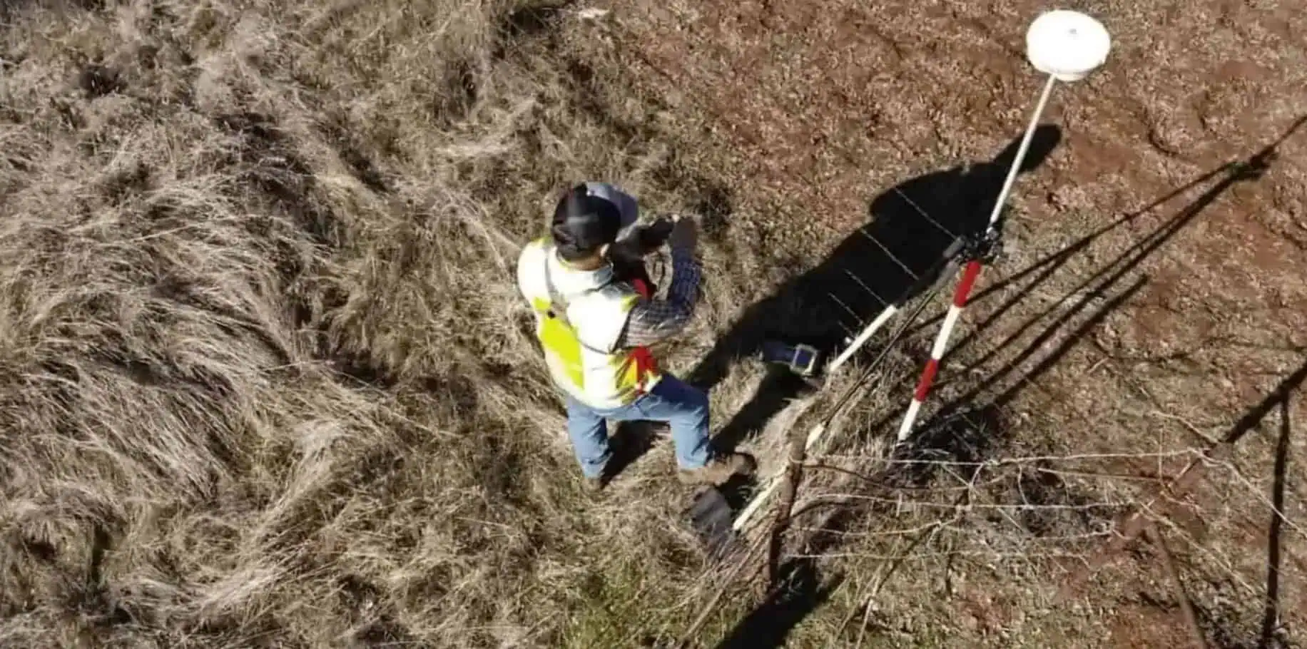
Advanced technology makes surveys faster and more accurate. GPS systems provide precise coordinates. Drones capture aerial data that would take weeks to collect using traditional methods.
Frequently asked questions
What does a commercial land surveyor do?
Commercial land surveyors measure and map property boundaries, topography, and improvements for business properties.
How long does a survey take in Phoenix?
Survey timelines depend on property size and complexity. A basic boundary survey might take a few days, while comprehensive ALTA surveys for large commercial parcels can take several weeks.
What documents are needed before a survey?
Surveyors typically need your property deed, title report, and any existing survey documents.
How much does a commercial survey cost?
Survey costs vary based on property size, terrain difficulty, and the type of survey needed.
Building in Phoenix? Lay the groundwork with a professional surveyor
Starting your commercial project with accurate survey data saves time, money, and headaches down the road. From initial site evaluation through final as-built documentation, professional surveying keeps your project on solid ground. Contact our team to discuss your Phoenix commercial land surveying needs and get started with precise, reliable service.

