Jacksonville’s commercial real estate market is growing fast, with new developments reshaping the city’s skyline and business corridors. Every project, from retail centers to industrial complexes, needs accurate land data before construction begins. That’s where professional commercial land surveying comes in. Getting measurements, boundaries, and zoning details right from the start prevents costly delays, legal disputes, and compliance issues down the road.
Precision in Every Measurement
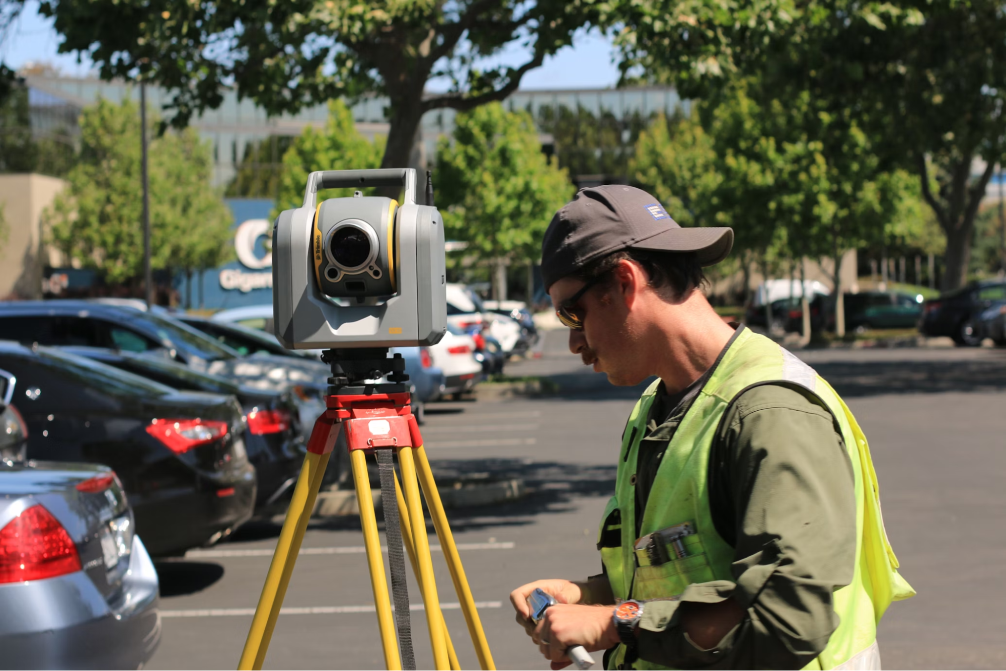
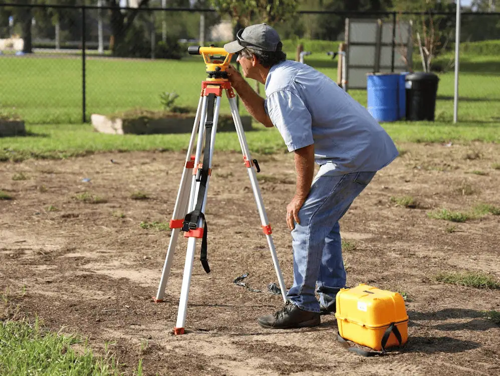
In commercial development, there’s no room for guesswork. A single measurement error can derail a multimillion-dollar project or trigger expensive redesigns. Jacksonville’s diverse terrain requires surveyors who understand local land characteristics and how they impact commercial construction. Professional commercial surveyors combine field expertise with cutting-edge tools to capture exact measurements that protect your investment.
Specialized Commercial Land Surveying
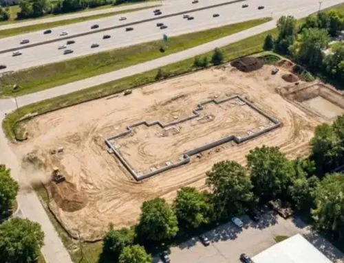
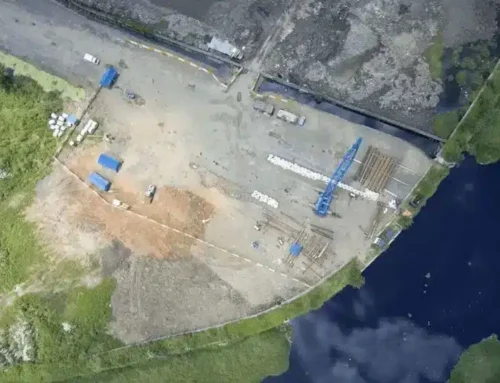
Commercial land surveying goes beyond marking property corners. It’s about gathering comprehensive data that supports every phase of development. In Jacksonville, commercial surveys verify boundaries for acquisitions, document site conditions, confirm zoning compliance, and provide measurements contractors need.
The work often involves commercial real estate due diligence, where buyers and lenders need reliable survey data before finalizing transactions. Alta/nsps land title surveys follow strict national standards and provide the comprehensive boundary details required for title insurance. Zoning compliance reports are equally important, as Jacksonville’s local ordinances and setback requirements factor into every commercial project.

Our Areas of Expertise
Millman Land Services delivers a full range of commercial surveying solutions tailored to Jacksonville’s development landscape. Here’s what we handle:
Construction Staking
Setting accurate reference points for contractors so that building layouts match approved plans. This includes marking foundation corners, utility lines, and elevation benchmarks.
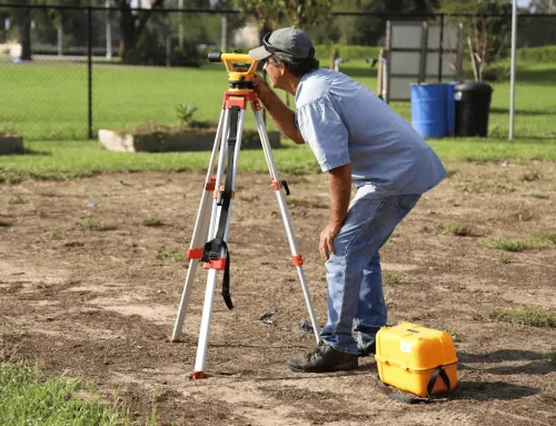
Boundary Surveys
Determining precise property lines to prevent encroachment issues. We research historical records, locate monuments, and establish legal boundaries.
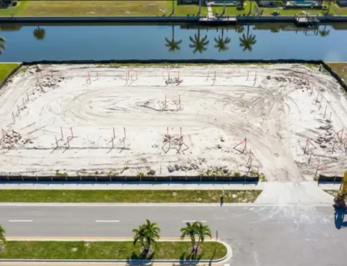
Topographic Surveys
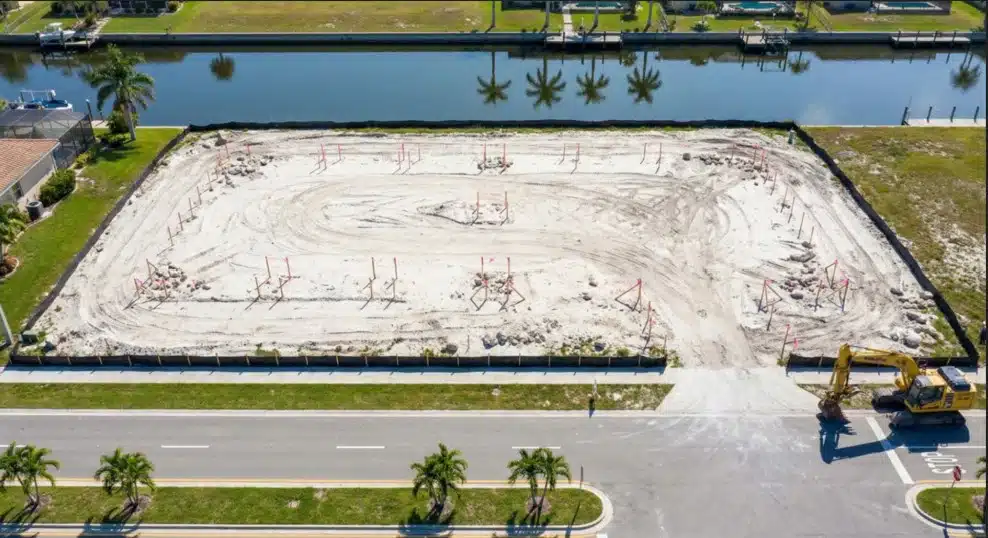
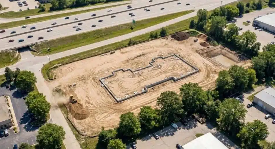
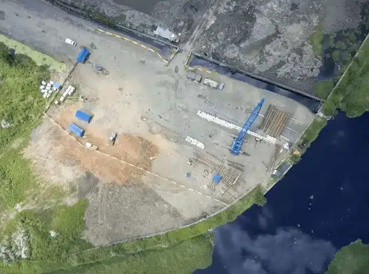
Mapping surface features, elevation changes, and drainage patterns. This data drives site design decisions and helps engineers plan grading and stormwater management.
Land Mapping
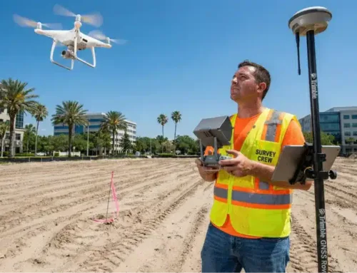
Creating detailed visual representations of property characteristics using GPS and drone technology. These maps support zoning applications and permit submissions.
Corner Records
Documenting and filing property corner locations with local authorities to protect property rights.
As-Built Surveys
Verifying that completed construction matches approved plans. Lenders and property owners need these to confirm that buildings and utilities were installed as specified.
Why Choose a Jacksonville Surveyor?
Local knowledge makes a difference. Jacksonville’s mix of coastal properties and inland commercial zones requires surveyors who’ve worked extensively in the area. We know which records to check, how local building codes apply, and where boundary issues tend to surface.
Our approach delivers:
- Familiarity with Jacksonville’s land characteristics and development patterns
- Understanding of flood zone requirements and coastal construction regulations
- Fast response times because we’re based in the region

Proven Track Record
We’ve completed hundreds of commercial surveys across Jacksonville, from small retail additions to large industrial complexes. Our in-house team of licensed surveyors, analysts, and project coordinators handles every aspect without subcontracting, ensuring better quality control and faster turnaround.
Closing a commercial real estate deal depends on having accurate survey data when you need it. We’ve supported REITs, lenders, developers, and property owners through complex transactions by delivering reliable results on tight deadlines.
Tailored Surveying Services
Every project has unique requirements. We customize our approach based on your needs:
Precise Design Surveys
Capturing the exact measurements engineers need to design site improvements and building placements. This includes locating existing structures, easements, and underground features.
Topographic Surveys for Planning
Providing detailed elevation data that informs grading plans and drainage solutions. Our surveys identify potential issues early, when they’re cheaper to address.

Additional Services
Beyond standard surveys, we offer specialized support:
Construction Staking: Setting control points throughout construction so contractors can build to specification.
As-Built Surveys: Documenting final construction to verify compliance with plans.
Boundary Surveys: Resolving property line questions and supporting legal descriptions for deeds.
Why We Stand Out in Jacksonville
Reliable Service
We control the entire surveying process with in-house licensed professionals, eliminating coordination delays and ensuring consistent quality.
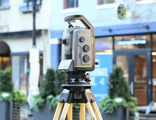
Advanced Technology
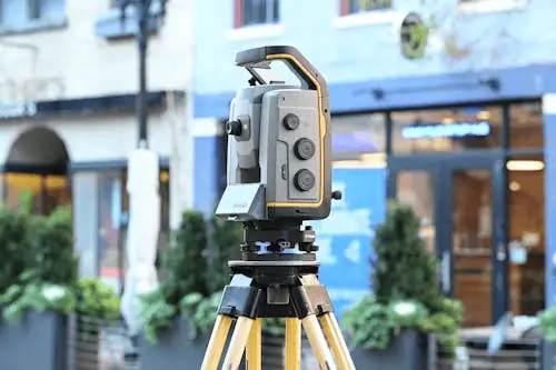
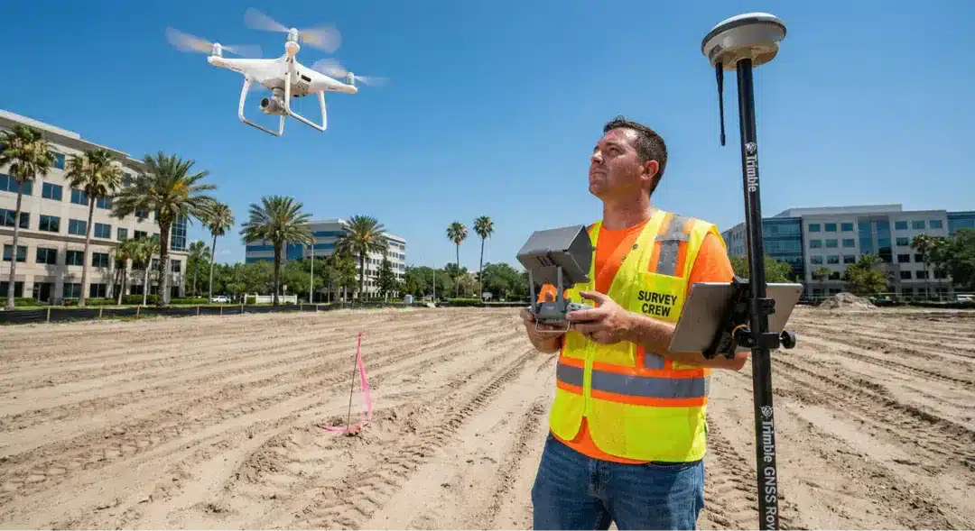
Our team uses GPS equipment, drone surveys, and 3D laser scanning to capture accurate data efficiently. Drone technology is valuable for large commercial sites, allowing us to map extensive areas quickly.
Fast Turnaround
Most commercial projects run on tight schedules. We structure our workflow to deliver results when you need them. Understanding title insurance basics helps clarify why timely survey work matters during property transactions.
Frequently Asked Questions
What does a commercial land surveyor do?
Commercial land surveyors measure and document property boundaries, topography, and existing conditions for business properties. This includes preparing legal descriptions, creating site maps, and providing the data needed for zoning compliance and construction.
How long does a survey take in Jacksonville?
Timeline varies by project scope. A basic boundary survey might take one to two weeks, while comprehensive detailed zoning reports and alta surveys for large commercial properties can take three to four weeks. Rush services are available when needed.
What documents are needed before a survey?
We typically need the property deed, previous survey documents if available, and any site plans or legal descriptions you have. We can also research county records on your behalf to gather necessary information.
How much does a commercial survey cost?
Cost depends on property size, survey type, site complexity, and timeline. Contact us for a detailed quote based on your specific project requirements.
Building in Jacksonville? Lay the Groundwork with a Professional Surveyor
Whether you’re developing a new commercial property, expanding an existing facility, or preparing for a real estate transaction, accurate survey data is your foundation. Don’t let measurement errors or zoning issues slow your project down. Get started with Millman Land Services today and work with surveyors who understand Jacksonville’s commercial landscape inside and out.