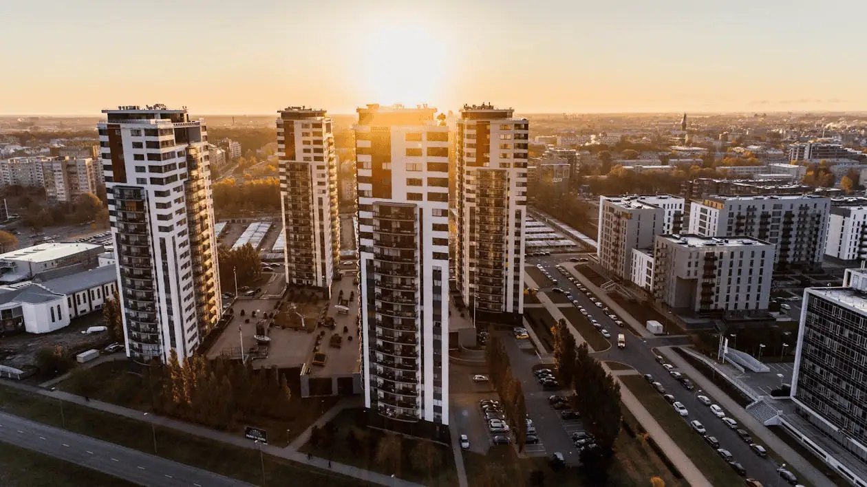
Orlando’s commercial real estate market keeps growing, with new developments reshaping the city from downtown to the expanding suburbs. Theme park corridor expansions, retail centers, and industrial logistics hubs all compete for space in one of Florida’s fastest-growing metros.
Whether you’re building near International Drive or developing warehouse space near the airport, accurate land surveying is the first step to getting your project off the ground. When millions of dollars are on the line, you need measurements you can trust.
Key Takeaways
- Commercial land surveying in Orlando requires expertise in local zoning codes and Florida’s unique terrain challenges.
- Precise boundary surveys prevent costly disputes and help meet regulatory requirements before construction begins.
- Drone technology and GPS equipment deliver faster, more accurate data collection for large commercial sites.
- Working with a local surveyor ensures familiarity with Orlando’s building codes and permitting processes.
- Comprehensive surveys protect your investment by identifying easements, setbacks, and potential issues early.
Precision in Every Measurement
Commercial projects live or die by their details. A boundary line off by a few feet can trigger property boundary disputes that delay construction for months. Zoning violations discovered after breaking ground can force expensive redesigns. That’s why professional surveying matters in a market as competitive as Orlando.
Florida’s high water tables, wetlands, and sandy soils affect drainage and foundation requirements. Orlando surveyors understand these conditions and stay current on commercial real estate development trends shaping what gets built.
Specialized Commercial Land Surveying
A commercial property survey goes beyond marking property corners. It documents everything affecting your ability to develop the site, from elevation changes to easements and access rights.
Orlando falls under Orange County jurisdiction for most commercial projects, though some developments touch Seminole, Osceola, or Lake County lines. Local surveyors know which departments to work with and how zoning classifications affect setbacks and allowable building heights. Land survey requirements vary depending on project type and financing arrangements.
Our Areas of Expertise
Construction Staking
Construction staking turns architectural drawings into real-world reference points. Surveyors set stakes that guide excavation crews and builders throughout construction, keeping every element positioned exactly where it belongs.
Boundary Surveys
Boundary surveys establish your property’s legal limits using recorded deeds, historical plats, and physical evidence. These surveys locate corners, identify encroachments, and create documentation lenders and title companies require.
Topographic Surveys
Topographic surveys capture the three-dimensional reality of your site, mapping elevation changes, drainage patterns, utilities, and existing improvements. Engineers and architects use this data to design grading plans that work with natural conditions.
Land Mapping
Land mapping produces detailed visual records of property features. These maps give all project stakeholders a common reference point, reducing miscommunication.
Corner Records
Corner records document property corner locations using GPS coordinates and permanent monuments. These records get filed with the county and create lasting references for future surveys.
As-Built Surveys
As-built surveys document completed construction against original plans, verifying that what got built matches approved permits.
Why Choose an Orlando Surveyor?
Local expertise makes a real difference. Orlando surveyors know the sandy soil conditions, wetland setback rules, and specific requirements different municipalities enforce. They maintain working relationships with planning departments across the metro.
A local team responds faster when questions come up during construction. Instead of coordinating with an out-of-state firm, you get same-day answers and quick site visits when conditions change.
Proven Track Record
Experience counts when accuracy is non-negotiable. Established Orlando surveyors have completed projects from retail developments on Sand Lake Road to industrial facilities near the airport. They’ve worked with developers, architects, and lenders on projects of every size, knowing exactly what documentation different parties expect.
Tailored Surveying Services
Precise Design Surveys
Design surveys give architects and engineers the specific site details they rely on when starting a project. Instead of stopping at elevation data, the work also identifies utilities, access routes, and any conditions on the property that influence how plans are developed.
Topographic Surveys for Planning
Planning-focused topographic surveys balance detail with efficiency. They deliver enough information to support zoning applications and preliminary design work without unnecessary time or expense.
Additional Services
Modern surveying combines traditional expertise with advanced technology. Construction staking services support contractors throughout the build process. As-built surveys document final conditions for property records.
Boundary surveys remain foundational to commercial real estate transactions. Your alta survey land surveying services should meet industry standards and local requirements from day one.

Why We Stand Out in Orlando
Millman employs licensed surveyors directly rather than subcontracting. This means consistent quality, clear communication, and accountability throughout your project.
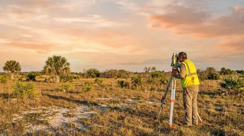
Technology accelerates results. GPS equipment captures precise coordinates quickly, while drone surveys collect comprehensive aerial data for large sites. Drones are especially valuable for properties with difficult access or complex terrain, producing detailed imagery in a fraction of the time ground-based methods require.
Start your Orlando commercial project with a professional survey consultation to make sure your foundation is solid from day one.
Frequently Asked Questions
What Does a Commercial Land Surveyor Do?
A commercial land surveyor identifies where a property begins and ends, records terrain details, and captures the physical conditions of a site. Their work supplies the legal descriptions, confirms boundary locations, and delivers the measurements needed for design teams, permit approvals, and building plans.
How Long Does a Survey Take in Orlando?
Timeline depends on property size and survey type. Simple boundary surveys might take a few days, while comprehensive ALTA surveys of large commercial sites can require two to three weeks.
What Documents Are Needed Before a Survey?
Surveyors typically need your property deed, existing surveys or plats, title reports, and recorded easements. Having these ready speeds up the process.
How Much Does a Commercial Survey Cost?
Costs vary based on property size, complexity, survey type, and deliverables. Most surveyors provide quotes after reviewing your property details and requirements.
Building in Orlando? Lay the Groundwork With a Professional Surveyor
Orlando’s commercial opportunities keep expanding, but successful projects start with accurate site information. Whether you’re planning new construction or a property acquisition, professional surveying gives you the certainty to move forward. The right survey prevents expensive problems, speeds permit approvals, and protects your investment with clear legal boundaries.


