
A map formulates meaning between disparate distances just as much as they chart those distances. Do you ever think about how much maps control how much we conduct our business, professional, and personal lives?
And this is more than just commentary on the ubiquity of GPS devices. When it comes to the construction business, nothing can get done without the input of topographical surveyors.
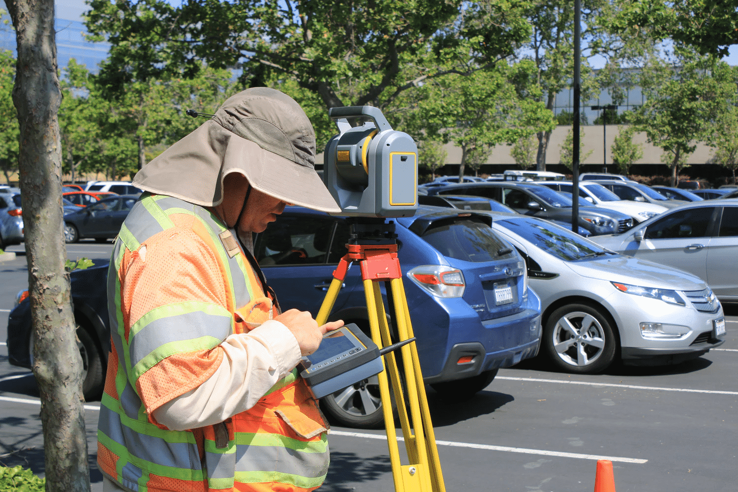
Topographical surveyors are the workers garbed in reflective work vests and peering into the distance by looking into a telescope-like device.
Without the data collected by topographic surveys, most of the construction business couldn’t conduct business. Topographic surveys legally determine the distances and boundaries between disparate properties.
Topographic Surveys and the Construction Industry
There were almost $1 trillion in new public construction projects facilitated in the United States in 2018. And over 77% of those construction projects occurred in the private business sector.
The global construction industry will be worth about $13 trillion by 2022. And that estimate will increase to $17.5 trillion by 2030.
So, what does such fact have to do with topographic surveys? A business can’t start construction a street, building, or large-scale construction project without input from a topographic survey.
Have you ever feuded with a neighbor over boundary issues relative to a tree or driveway? Well, how do such conflicts get resolved?
A third-party and impartial topographic surveyor comes in to take measurements between the residential properties.
Maps run our world. And if you run a business that needs help with a construction project, chances are good you will need a topographic surveyor’s help.
If you need help with topographic surveys, telecommunication tower surveys related to 5G, zoning, and other related issues, then contact Millman National Land Services today.
Now, let’s further discuss what topographic surveyors do.
Related – Everything About Zoning Variance and Change
What is the Objective of a Topographic Survey?

A topographic surveyor uses existing maps and finely calibrated measuring instruments to generate data relative to charting land, terrain, ground markings, land contours, trees, fences, and exactingly detail the boundaries between local properties.
A new streetlight, fence, street, bridge, or building can’t be constructed unless the construction company understands the terrain’s limits.
For example, if you own a business conducting a public construction project, you will want to know the boundaries for public land or land owned by competitors.
Topographic surveyors also generate charting data, which helps businesses visualize project construction accurately and look for defects in the land, which could compromise future structures.
Simply put, a topographic survey provides terrain-based map data to improve design and construction decisions.
Who Else Benefits From Topographic Surveys?
The data from a topographic survey can be used for a multitude of services.
Topographic survey data is used to create maps of the future for local, city, state, and federal use. New road construction, housing construction projects, or land registry data submission cannot be accomplished without topographic data.
Construction engineers, architects, design consultants, and construction workers can’t begin planning their projects until they get accurate data from a topographic survey.
The logistics for planning and initiating such projects require topographic survey data long before any construction groundbreaking begins.
So, many private and public business entities benefit from the charting data created by topographic surveys.
Related – How Long Is a Land Survey Good for?
What Happens Step-By-Step During a Topographic Survey?
A topographic survey is a mapping survey of terrain for land charting purposes or generated data to help businesses whose operations would benefit from such data.
Topographic surveyors start by planning the survey process before conducting the survey. Information about the area and existing maps are studied to determine the project’s scope.
Preplanning is also required to determine the level of detail and accuracy needed for the survey. Extensive research and preplanning can also determine how much data is generated during and after the survey.
Then, topographic surveyors use that information to calculate how long the topographic survey will take to conduct. There is no one standard approach when it comes to topographic surveys.
A topographic survey can last hours, days, or months relative to the task’s size and difficulty and how much data will be generated.
Topographic surveyors must professionally and exactingly gather data on-site and analyze it. Surveying is a painstaking process that is made all the more difficult by being conducted in public.
All data generated by the survey is then processed and quality-checked before it is delivered to a client.
Is There More Than One Kind of Topographic Survey?
Believe it or not, a “topographic survey” is just one kind of survey.
There are several kinds of land surveys that a topographic surveyor can undertake.
A subdivision survey maps and partitions a large property boundary of land in smaller sections within that boundary.
It is the kind of survey that one contracts to design new streets or map drainage points for sewers. A subdivision survey is also called a partition survey.
A boundary survey is conducted to detail the boundaries between streets, neighbors, cities, states, and countries.
Location surveys are used to generate more information about the location of recent improvements to old construction projects. You would need a location survey to facilitate a zoning permit or loan application for construction work on an existing project.
An ALTA/ACSM survey is conducted to provide homeowners, land title companies, and title insurance companies with the information they need relative to land titles.
Survey Tools
Topographic surveyors use many tools and instruments to conduct their work.
A theodolite is a telescope-looking instrument mounted on a tripod that you may see a surveyor peering in. Theodolites measure the vertical and horizontal angles between various points on the terrain of the land.
Topographic surveyors also use laser scanners, GPS, maps, and measuring instruments to conduct their work.
Consult a Professional for Your Topographic Survey Needs

The topographic survey process is complicated, requires extensive research, and can take time to conduct depending on the size of the project,
If you need help with a topographic survey, contact Millman National Land Services today.
Related – Does a Buyer or Seller Pay For a Land Survey?


