Delivering precise commercial surveying, zoning compliance, and drone mapping across the OKC metro.
Request a Quote
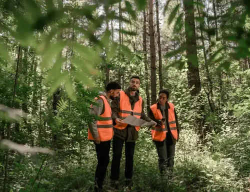
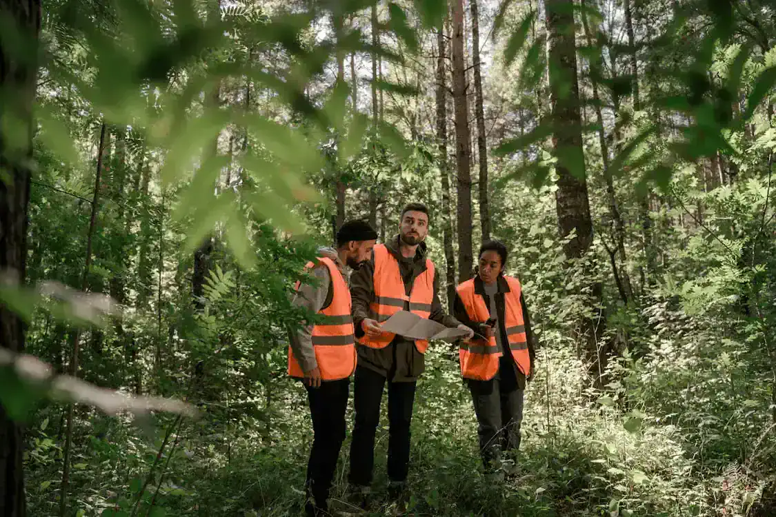
Specialized Commercial Land Surveying in Oklahoma City
Commercial land surveying supports property development, financing, and regulatory compliance by defining boundaries, documenting topography, and identifying easements and zoning conditions. In a growing market like Oklahoma City, accurate surveys help developers, contractors, and property owners reduce risk and avoid delays as projects move from planning to construction. Our experience with local requirements and coordination with an commercial land surveyor in oklahoma city helps ensure surveys align with municipal standards and approval processes.
Learn More / View Services
Why Oklahoma City Chooses Millman Land
OKC Market Knowledge
Our team understands Oklahoma City zoning codes, terrain variations, and permitting processes across Canadian, Cleveland, and Oklahoma Counties for faster project approvals.
Direct Communication
You work directly with licensed surveyors, not coordinators, which means clear answers, faster turnarounds, and no middleman markups on your commercial project.
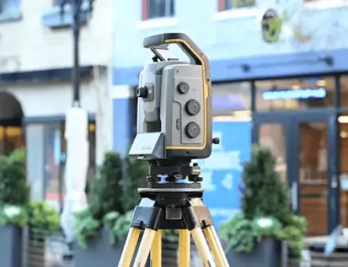
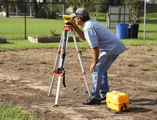
Technology and Accuracy
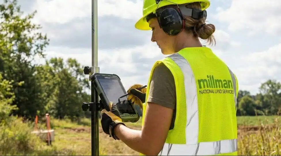
We use advanced GPS, total stations, and drone surveys to capture precise data quickly, backed by internal quality reviews and licensed professional seals.
Areas of Expertise
- ALTA Land Surveys
- Telecommunications Services
- Zoning Compliance Reports (ZCR)
- Environmental Site Assessments (ESA)
- Property Condition Assessments (PCA)
- Virtual Site Walks
Contact Us
Experience Serving Oklahoma City
Millman National Land Services, now part of CBRE, brings nearly 30 years of commercial surveying experience to Oklahoma City and surrounding areas. Our in-house team of licensed surveyors, analysts, and project coordinators handles everything from retail developments to industrial sites across the metro. We’ve worked on projects throughout Canadian, Cleveland, and Oklahoma Counties, delivering ALTA/NSPS land title surveys that meet strict national standards and local regulatory requirements. Unlike survey coordinators who subcontract work, we control the entire process with our own staff, which means faster response times, consistent quality, and transparent pricing for commercial property owners, developers, lenders, and REITs throughout Oklahoma City.

Land Mapping Services
DEV NOTE: This section and the next (Corner Records) should display side-by-side in a 2-column layout on desktop. Stack vertically on mobile. Each has its own CTA button.
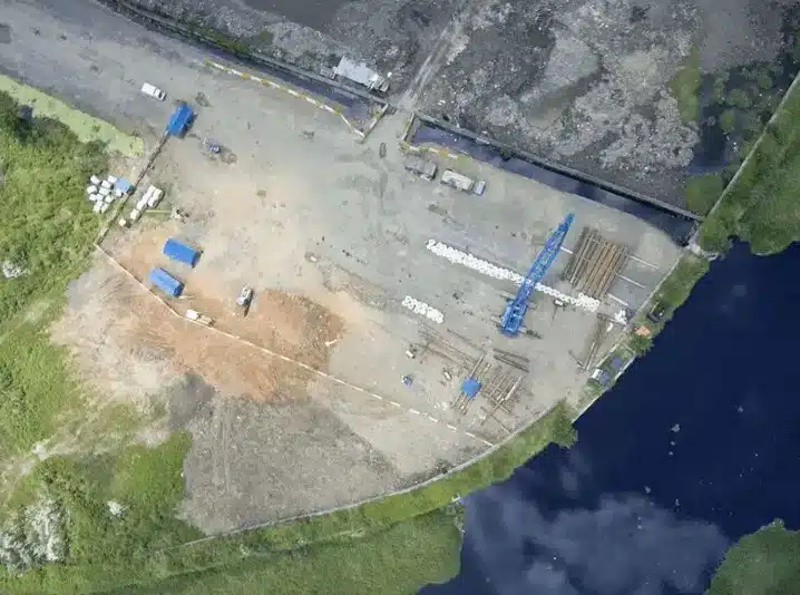
Land mapping creates detailed documentation of property boundaries, topography, utilities, and existing features for development planning. It provides architects and engineers with the accurate data they need to design buildings, drainage systems, and site layouts that fit Oklahoma City’s terrain and zoning requirements.
Learn More
Corner Records Services
Corner records establish and document legal property corners according to Oklahoma state and county guidelines. These records create permanent public documentation that protects ownership rights and provides long-term legal clarity for commercial properties throughout the Oklahoma City metro.
Learn More
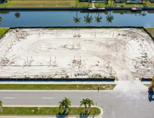
Supporting Commercial Development in Oklahoma City
Commercial development in Oklahoma City requires careful coordination of technical and regulatory requirements. Our surveying services document existing conditions, topography, and utilities, and we prepare zoning compliance reports that confirm permitted uses and development constraints. This information helps project teams assess feasibility and move efficiently from planning through construction.
Contact Us
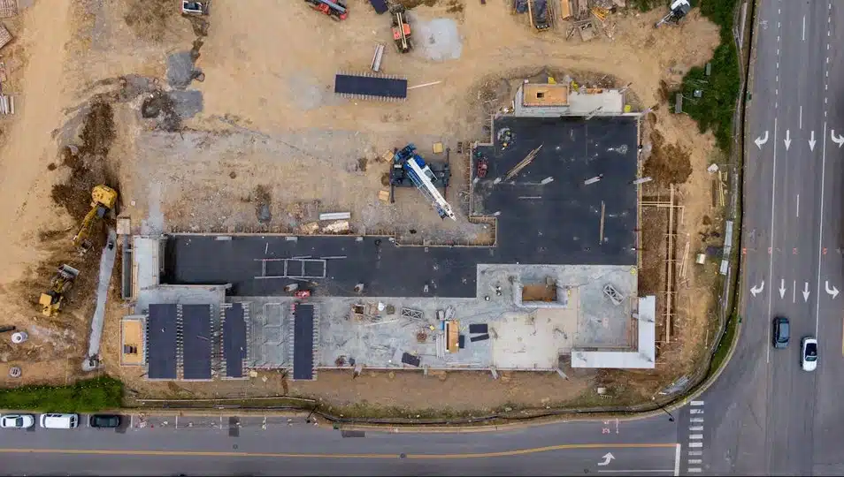
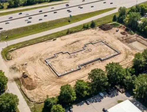
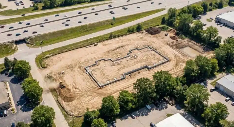
Construction Staking Services
Construction staking translates architectural plans into physical markers on the ground. Our surveyors place stakes that show exact locations for foundations, utilities, roadways, and site improvements. This precision prevents costly errors during construction and keeps work aligned with approved plans. Accurate staking reduces rework, prevents encroachment issues, and helps construction teams build correctly the first time.
GET STARTED
As-Built Surveys
Project Verification
Documents what was actually constructed compared to design plans for permanent records.
Lender Requirements
Satisfies financial institution requirements for final disbursement and property documentation.
Future Reference
Creates accurate records for property management, renovations, and future development planning.
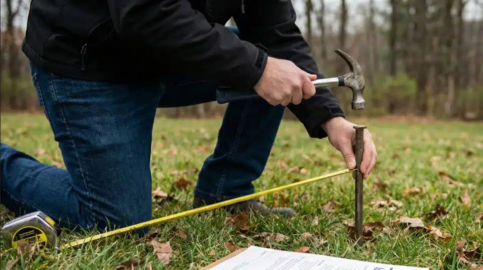
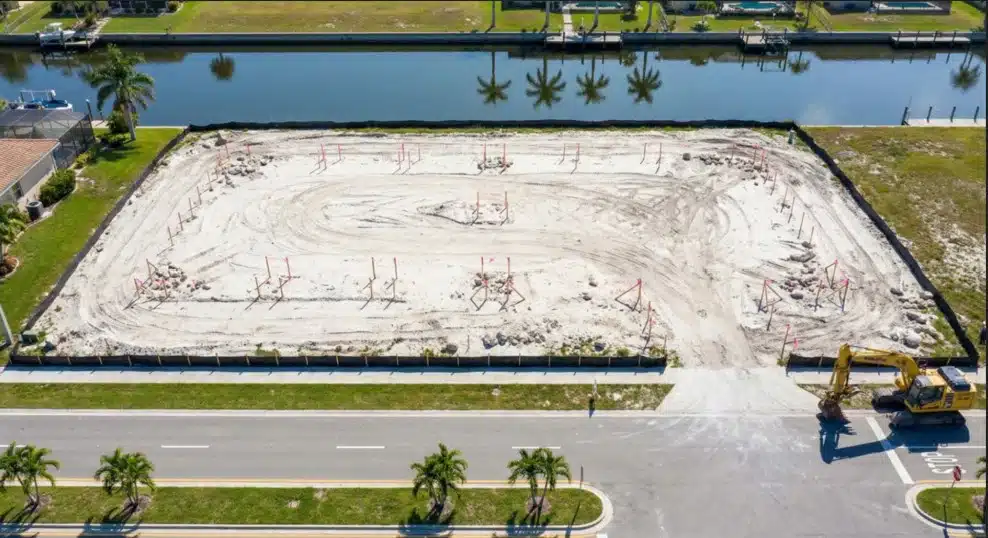
Boundary Surveys
Boundary surveys define the legal limits of commercial property by reviewing records and locating existing markers. A land surveyor in Oklahoma uses deeds, plats, and prior surveys to confirm accurate property lines. For Oklahoma City properties, these surveys help prevent disputes, identify easements, and provide documentation needed for financing and development.
Request a Boundary Survey
Trusted Surveying Partner in Oklahoma City
Oklahoma City commercial projects benefit from surveyors who deliver accurate results with efficient field methods. Our team uses GPS, drone surveys, and 3D scanning to capture reliable site data while accounting for land use planning and zoning regulations and following established land surveying standards and practices. We also coordinate environmental site assessments phase I when required, helping projects meet lender and regulatory expectations.
Get a Free Quote

Frequently Asked Questions
What does a commercial land surveyor do in Oklahoma City?
A commercial land surveyor documents boundaries, site features, and improvements to support development, financing, construction, and legal compliance.
How long do commercial surveys take in Oklahoma City?
Timelines vary by scope, with smaller boundary surveys often taking one to two weeks and larger ALTA surveys typically requiring two to four weeks.
What documents do I need before starting a survey?
Most projects require a property deed, any prior surveys, and title or easement documents to begin research efficiently.
What affects commercial survey costs in Oklahoma City?
Costs depend on acreage, site conditions, research requirements, and whether a basic boundary survey or a more detailed ALTA survey is needed.
Start Your Oklahoma City Project Today
Partner with experienced surveyors who understand Oklahoma City’s commercial development requirements and deliver accurate results when you need them.
Contact Us
