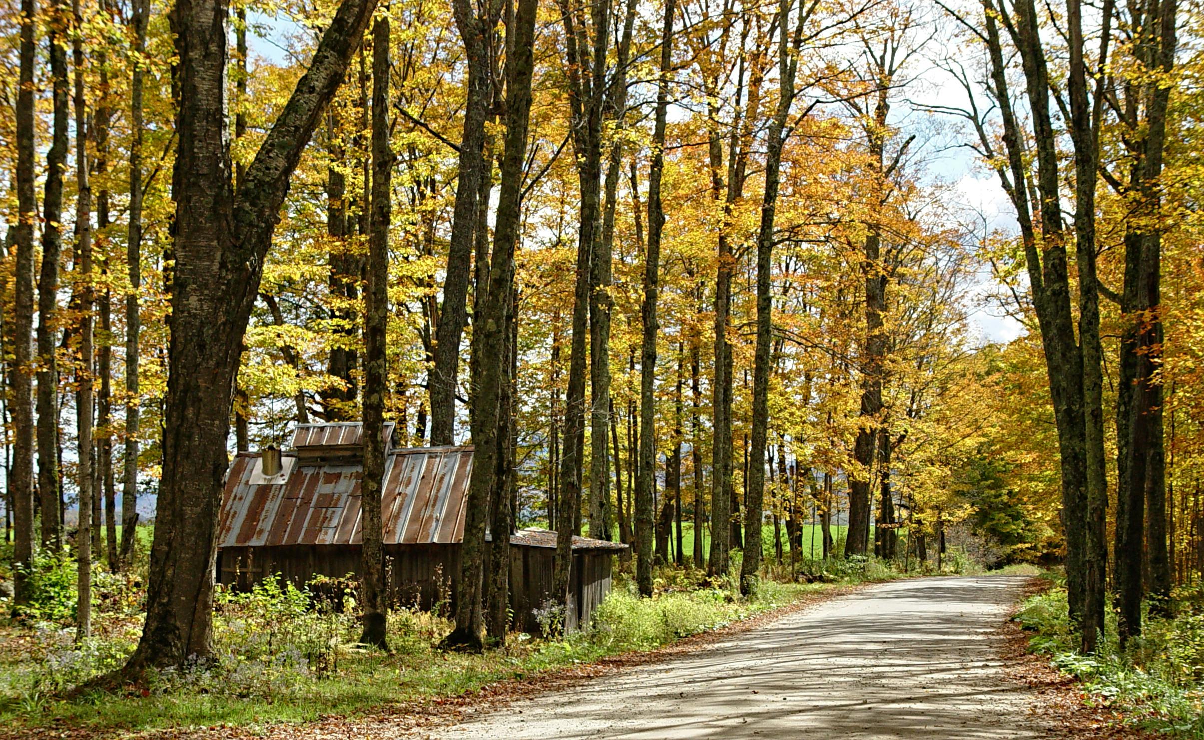
When it comes to your property, understanding its exact boundaries and topographical details is not just an asset—it’s a necessity. Whether you’re buying a new property, building on existing land, or settling a boundary dispute, the expertise of a professional land surveyor is crucial. In Vermont, where the landscapes vary from rolling hills to dense forests, having accurate and detailed land surveys is key to successful property management and development.
What to Look for in a Vermont Surveyor
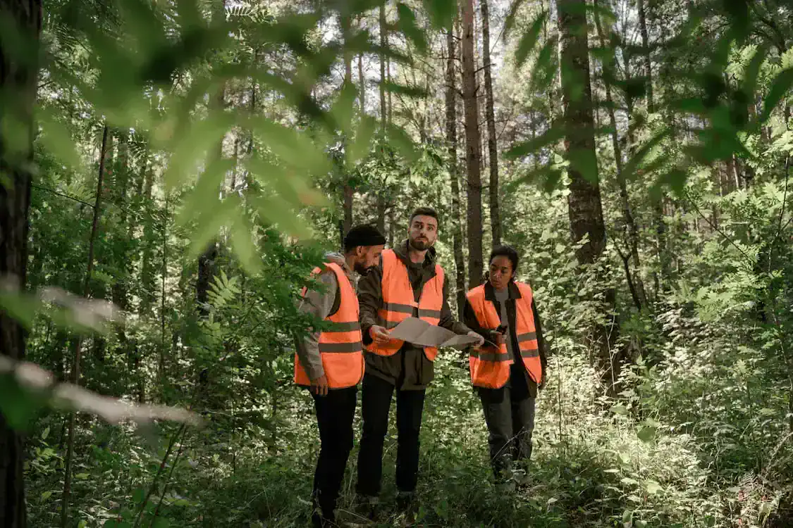
Choosing the right land surveyor in Vermont involves several critical considerations. First, ensure that the surveyor is licensed and certified (Vermont Secretary of State – Office of Professional Regulation) within the state. This guarantees that they are qualified and adhere to state regulations and standards. Additionally, look for a surveyor with extensive experience in the specific type of survey you need, whether it’s a boundary survey, topographic survey (American Land Title Association), or ALTA survey. It’s also wise to check their reputation through client reviews to gauge their reliability and customer service quality.
How Much Does a Vermont Surveyor Cost?
The cost of land surveying services in Vermont can vary depending on multiple factors such as the type of survey, the size and complexity of the property, the terrain, and the amount of existing data available. Generally, a basic land survey can range from $400 to $1,200. More complex surveys for larger estates or commercial properties, or those requiring more detailed investigation, may cost significantly more. For the most accurate estimate, it’s best to contact a professional surveyor who can evaluate your specific needs.
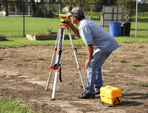
What Do Vermont Surveyors Do?
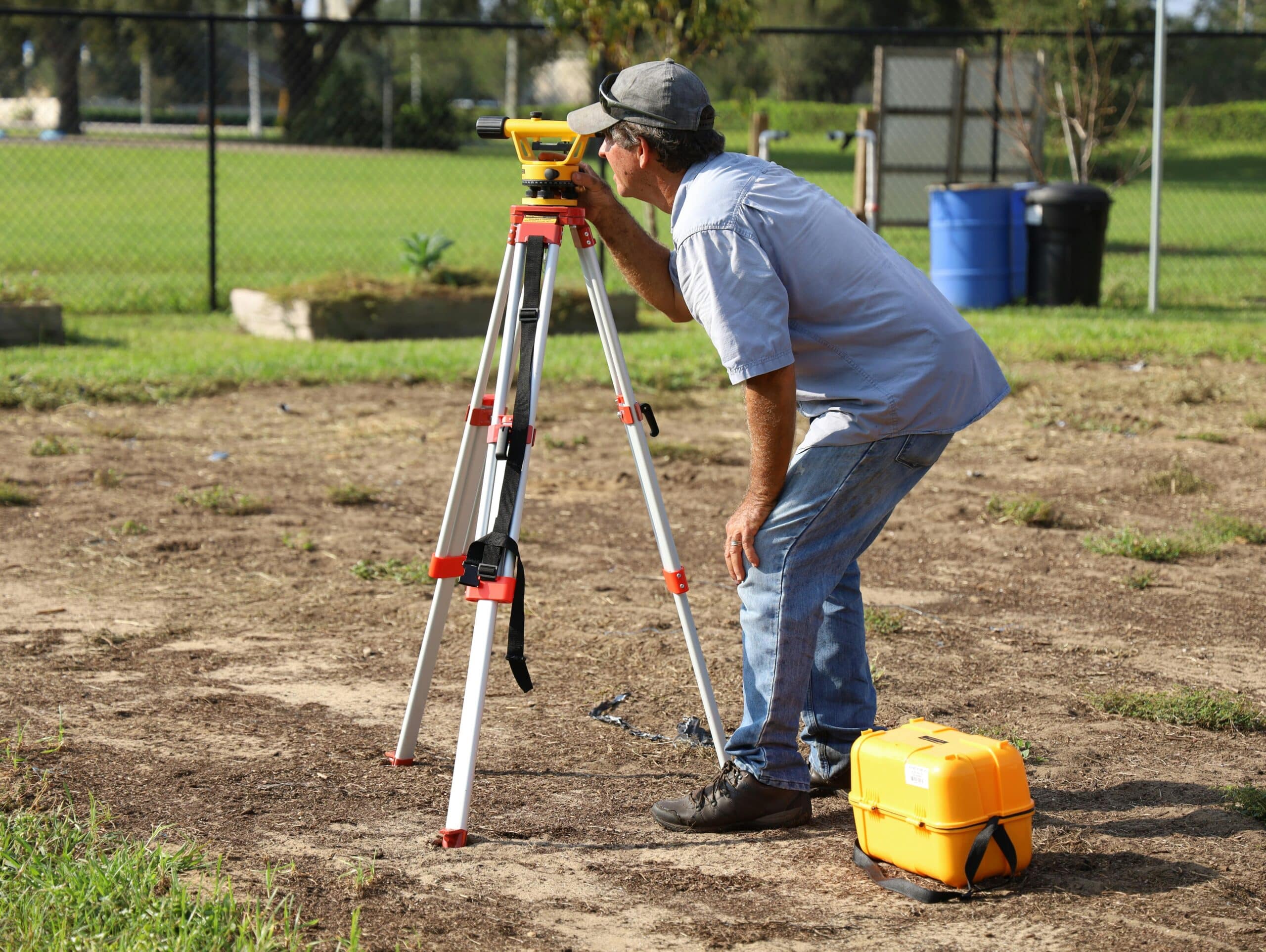
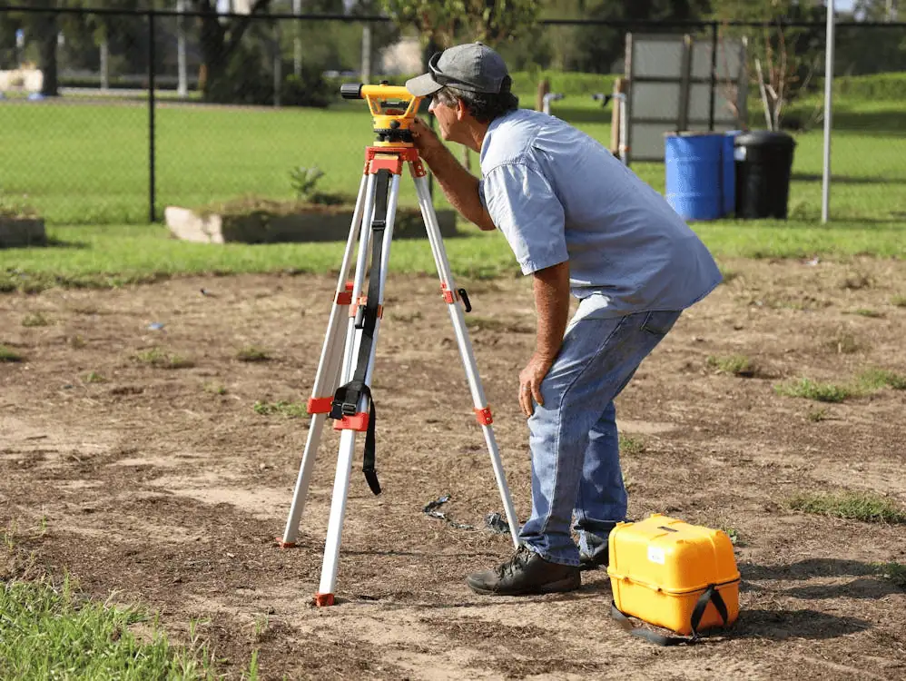
Vermont surveyors perform a variety of tasks that go beyond merely measuring land. They establish property boundaries, create maps, and provide detailed reports that help in planning and development. Their work ensures compliance with zoning laws (Vermont State Building Codes) and building codes and plays a crucial role in environmental conservation (Vermont Department of Environmental Conservation). Surveyors also help resolve disputes by providing objective, precise data about land boundaries and usage.
Why Choose Millman National Land Services?
At Millman National Land Services, we pride ourselves on providing top-tier land surveying solutions across Vermont. Our team is equipped with state-of-the-art technology (NSPS) and extensive local knowledge, enabling us to deliver precise and efficient surveying services tailored to meet the unique demands of your project. Whether you are a homeowner, developer, or commercial entity, choosing Millman means opting for reliability, accuracy, and unparalleled customer service.
FAQs About Land Surveying in Vermont
What is the first step in the land surveying process?
The first step is usually a consultation to discuss the specifics of your property and what type of survey is needed.
How long does a typical land survey take?
The duration can vary from a few days to several weeks, depending on the complexity and size of the property.
Do I need a land survey to build a fence?
Yes, a land survey (American Land Title Association) can help you determine the exact boundaries of your property to ensure that your fence is built on your land.
Can a land survey affect my property taxes?
Yes, if a survey leads to changes in the registered size or features of your property, it might affect your property taxes.
What is a boundary survey?
A boundary survey determines the precise corners and boundary lines of a piece of property.
Is a survey necessary for purchasing a home?
While not always legally required, having a survey done when purchasing a home is highly recommended to avoid future disputes.
What does a topographic survey show?
A topographic survey maps the elevation and features of the land, which helps in planning construction and development projects.
Are land surveys public record?
Yes, once filed with the appropriate government office, land surveys typically become public record.
How do I find a reputable land surveyor in Vermont?
Look for licensed, experienced professionals (Vermont Secretary of State – Office of Professional Regulation) and check reviews or ask for recommendations from local real estate professionals or engineering firms.
What tools do land surveyors use?
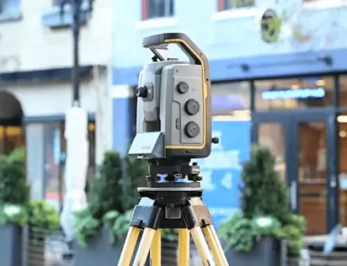
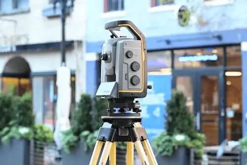
Modern land surveyors use tools like GPS devices, drones, and laser scanning systems (NSPS).
Can I dispute the findings of a land survey?
Yes, if you disagree with the results, you can seek a second opinion or dispute the findings legally.
How often should I get my property surveyed?
It’s wise to have your property surveyed whenever you plan significant changes, like new construction or adding structures.
Do surveyors need to access my property?
Yes, surveyors will need to physically access your property to perform accurate measurements.
Can a surveyor tell me what I can build on my property?
While surveyors provide crucial data, zoning laws (Vermont State Building Codes) and local building codes ultimately determine what can be built.
What if my property has never been surveyed?
It’s a good idea to have it surveyed to establish definitive boundaries.
