
Land Surveying and Zoning Coordination Services – Everywhere.
Millman National Land Services is a nationwide company providing full-scale land services for commercial real estate. We can execute and coordinate multi-state transactions, high-volume multi-site transactions, and single-site projects. We operate according to ALTA standards and relevant state and local guidelines. We hold a commitment to precision, compliance, and scalability.
Everywhere
property owners need us.Everywhere people shop.
Everywhere
lenders need us.Everywhere the wind blows
Everywhere
dealmakers need us.Everywhere energy is created.
Everywhere
title companies need us.Everywhere food is served.
Everywhere
wireless carriers need us.Everywhere people work.
Everywhere
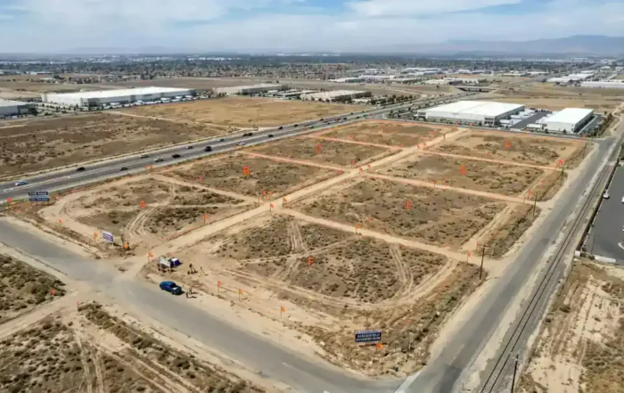
developers need us.Everywhere developers need us.
“They’re friendly, with a can-do, will-do attitude. They’re always trying to make sure we’re a satisfied customer.”
“Other firms hire out to small local companies. Millman surveyors work for them. There is no confusion. They’re available and enthusiastic about the work they do. That is peace of mind for us.”
We were thoroughly impressed with Millman during the Burger King transaction and will be sure to keep Millman in mind for future transactions.
Blog
Stay up-to-date on all the latest: land surveys, commercial real estate development, and other industry news.
Commercial Land Surveyor in Bakersfield
Looking for a trusted commercial land surveyor in California who knows the Bakersfield market? Millman National Land Services delivers precise, compliance-ready surveys to commercial clients across the country, including right here in Kern County. An[...]

Commercial Land Surveyor in Kansas City, MO
Looking for a commercial land surveyor in Kansas City, MO? Millman National Land Services works with property owners, developers, lenders, and real estate attorneys to deliver accurate, verified survey results across the country. Selecting the[...]