
Cleveland’s commercial real estate market continues to evolve, with new construction projects, property expansions, and redevelopment initiatives reshaping the city’s landscape. Whether you’re developing retail spaces, industrial facilities, or mixed-use properties, accurate land surveying forms the foundation of every successful project. From navigating local zoning requirements to ensuring property boundaries are clearly defined, professional surveying services help avoid costly mistakes and keep projects on track.
Key Takeaways
- Commercial land surveying ensures accurate property measurements, boundary identification, and regulatory compliance for Cleveland projects.
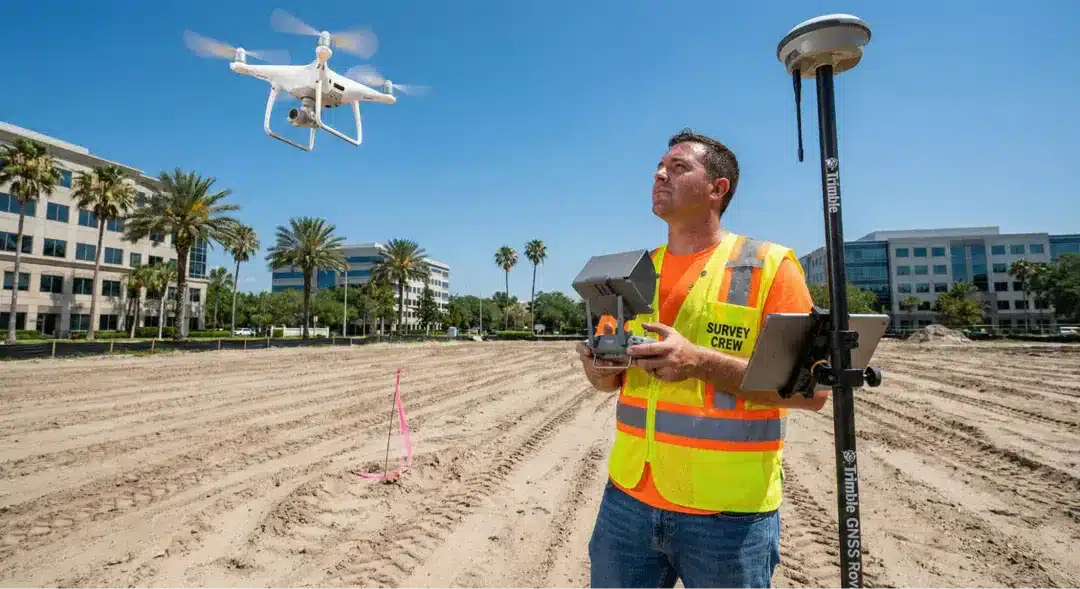
- Professional surveyors use advanced technology like GPS and drones to deliver precise results for construction staking, topographic mapping, and ALTA surveys.
- Local expertise matters when dealing with Cleveland’s specific zoning regulations, environmental conditions, and building codes.
- Choosing a surveyor with direct-hire licensed professionals ensures better accuracy, faster turnaround, and reliable project support.
- Comprehensive surveying services include boundary surveys, as-built documentation, construction staking, and zoning compliance reports.
Precision in Every Measurement
Accuracy isn’t optional in commercial development. A single measurement error can lead to boundary disputes, construction delays, or costly redesigns. Cleveland’s diverse terrain, from flat industrial zones to hilly residential areas, demands surveyors who understand local conditions and can adapt their approach accordingly.
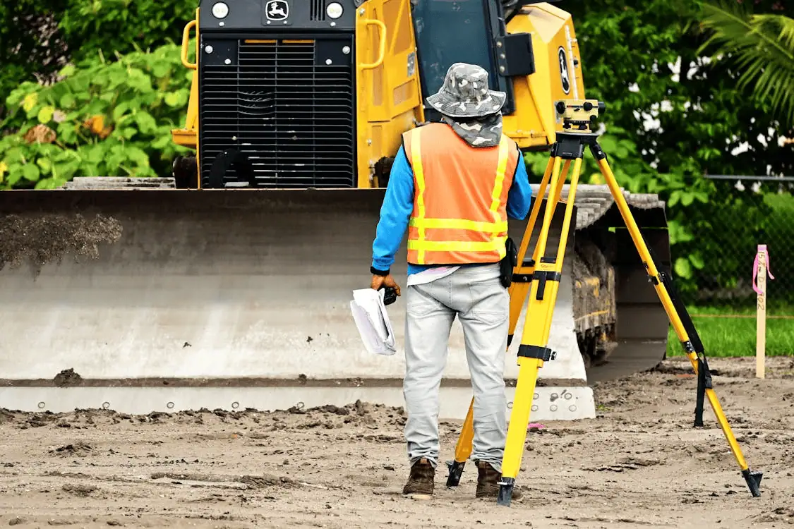
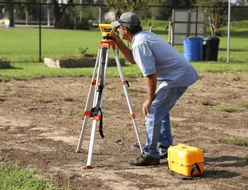
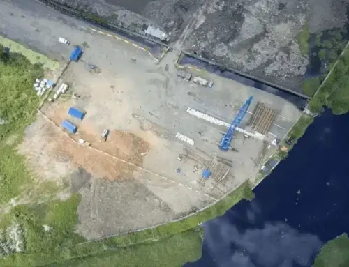
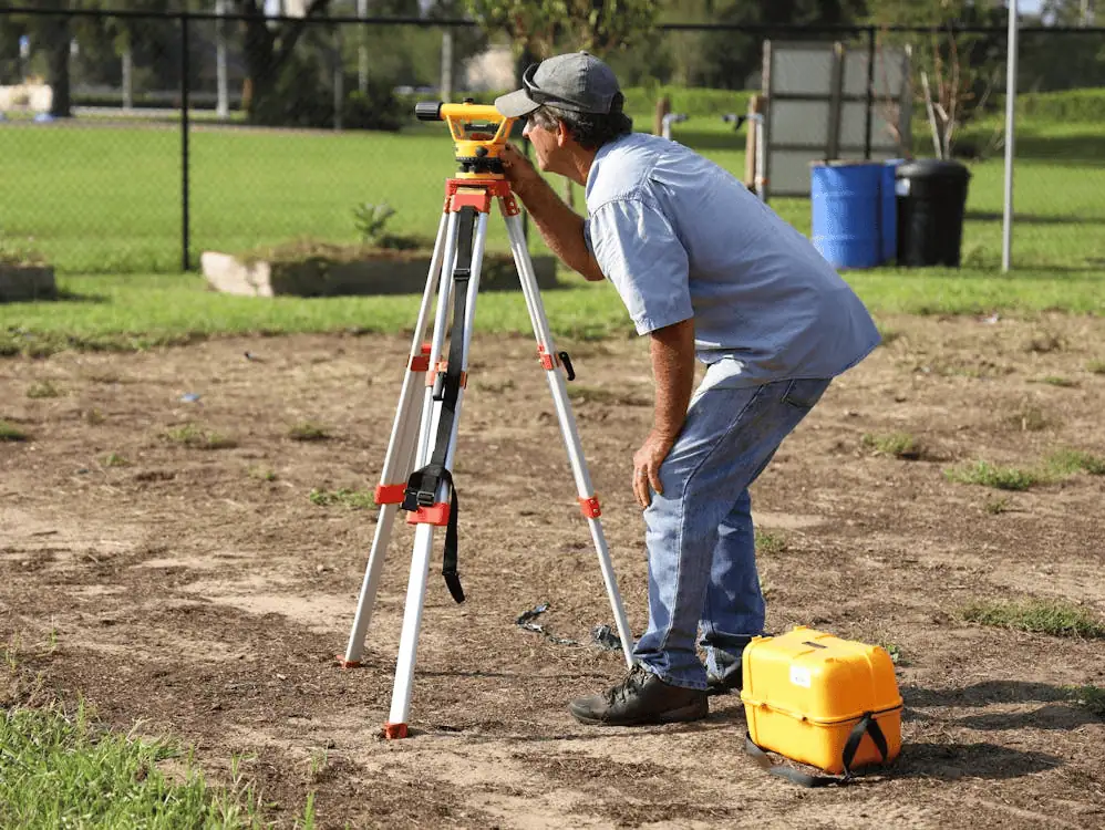
Modern surveying technology has transformed how professionals gather and analyze land data. GPS systems, total stations, and drone-mounted LiDAR sensors capture detailed measurements that traditional methods might miss. This precision becomes especially important when dealing with large-scale commercial projects where even minor discrepancies can multiply across hundreds of feet.
Working with experienced surveyors means your project starts with reliable data. Whether you’re planning a warehouse expansion or preparing for a retail development, having confidence in your survey results lets you move forward without second-guessing your foundation.
Specialized Commercial Land Surveying
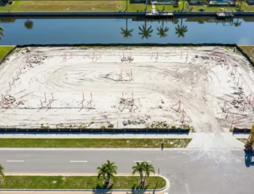
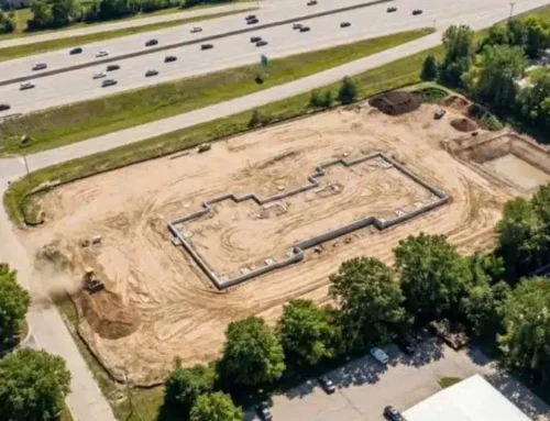
A commercial land survey covers more than just measuring property lines. It documents existing structures, identifies easements, notes topographic features, and verifies legal descriptions against physical boundaries. For commercial projects in Cleveland, this comprehensive approach helps developers, lenders, and property owners make informed decisions.
Cleveland’s regulatory environment adds another layer of complexity. Local municipalities have specific requirements for setbacks, parking ratios, and building heights. Understanding these rules upfront, through detailed zoning compliance reports, prevents surprises during the permitting process. A qualified surveyor who knows Cleveland’s landscape can flag potential zoning issues before they become project roadblocks.

Our Areas of Expertise
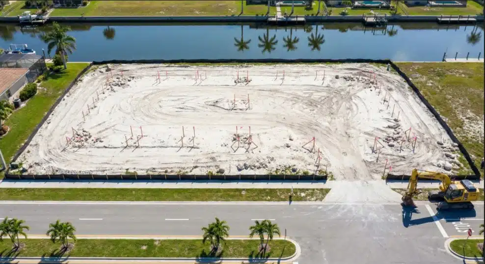
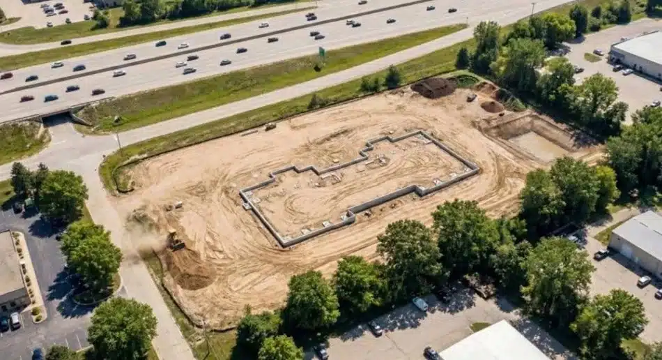
Construction staking
Construction staking translates design plans into physical markers on the ground. Stakes guide contractors on where to dig foundations, pour concrete, and position structures. For commercial projects, this service ensures buildings are constructed exactly where they’re supposed to be, avoiding encroachments and maintaining proper setbacks.
Boundary surveys
Boundary surveys establish property lines with legal precision. They identify corners, monuments, and any discrepancies between deed descriptions and actual ground conditions. This clarity protects property owners from disputes and provides the documentation needed for title insurance and real estate transactions.
Topographic surveys
Topographic surveys map elevation changes, vegetation, utilities, and man-made features. Architects and engineers use this information to design drainage systems, calculate cut-and-fill volumes, and plan site grading. In Cleveland’s varied terrain, understanding topography early prevents drainage problems and reduces earthwork costs.
Land mapping
Land mapping creates detailed visual representations of property characteristics. These maps document everything from utility locations to tree coverage, giving project teams a complete picture of site conditions before breaking ground.
Corner records
Corner records document the location of property corners according to official surveys. Filed with county recorders, these records create a permanent reference that future surveys can use to verify boundaries and resolve any questions about property lines.
As-built surveys
As-built surveys document what was actually constructed versus what was originally planned. They capture the final positions of buildings, utilities, and improvements, creating a record that’s essential for facility management, future renovations, and compliance verification.

Why Choose a Cleveland Surveyor?
Working with a land surveyor in Ohio who understands Cleveland’s specific challenges makes a real difference. Local surveyors know the area’s soil conditions, weather patterns, and seasonal considerations that affect fieldwork. They’re familiar with county recorder procedures, municipal permit requirements, and regional building codes that out-of-town firms might overlook.
Cleveland’s construction market has shown resilience despite broader economic shifts. The construction industry outlook indicates continued investment in commercial infrastructure, particularly in logistics, healthcare, and mixed-use developments. Having a surveyor who understands these trends helps align your project with market realities.
Professional surveyors also understand how commercial real estate shifts affect land values and development patterns. This market awareness, combined with technical expertise, provides clients with context beyond raw data.
Proven Track Record
Experience matters when choosing a surveying partner. Firms with a history of completing projects in Cleveland understand local quirks and can anticipate challenges before they arise. They’ve worked with area lenders, title companies, and municipalities, building relationships that can smooth the approval process.
Millman National Land Services, now part of CBRE, brings nationwide resources with local expertise. Unlike firms that subcontract surveying work, we employ licensed surveyors directly. This approach ensures consistent quality, better communication, and accountability throughout your project.
Tailored Surveying Services
Precise design surveys
Design surveys provide the detailed information architects and engineers need to create accurate plans. These surveys capture existing conditions, utilities, and site features that influence design decisions. For commercial projects, this level of detail helps optimize building placement and minimize site work costs.
Topographic surveys for planning
Planning-stage topographic surveys help developers evaluate site feasibility before committing significant resources. Understanding elevation changes, drainage patterns, and existing utilities early in the process lets you identify opportunities and constraints that shape project viability.
Additional Services
Construction staking guides builders throughout the construction process, from initial excavation through final grading. Regular staking visits keep projects aligned with approved plans and help catch any positioning errors before they become expensive problems.
As-built surveys document completed work for record-keeping, warranty purposes, and future reference. They’re often required by lenders, municipalities, or property owners as proof that construction matches approved plans.
Boundary surveys protect property rights and prevent disputes. For commercial properties, clear boundary documentation is essential for leasing negotiations, property sales, and maintaining good relationships with neighboring property owners.
Why We Stand Out in Cleveland
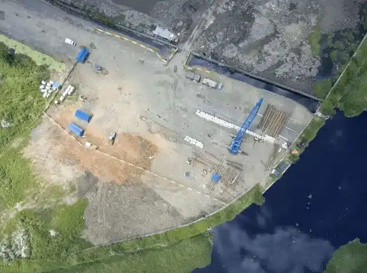
Staying current with construction and development trends helps us anticipate client needs. We’ve invested in drone technology that captures aerial data faster and safer than traditional methods. For large commercial sites, drones can survey acres in hours rather than days, reducing project timelines without sacrificing accuracy.
Our in-house team includes surveyors, analysts, and project coordinators who work together to deliver results efficiently. This integrated approach means better communication, fewer handoffs, and faster turnaround on everything from routine boundary surveys to complex multi-parcel ALTA surveys.
We understand that commercial projects operate on tight schedules. Our project management systems track every survey from initial request through final delivery, keeping clients informed and ensuring deadlines are met.
Ready to start your Cleveland commercial project with confidence? Schedule a virtual site consultation to discuss your surveying needs and get expert guidance on the best approach for your property.
Frequently Asked Questions
What does a commercial land surveyor do?
Commercial land surveyors measure and document property characteristics for business and development purposes. They establish boundaries, create topographic maps, verify zoning compliance, and provide the technical data needed for construction, financing, and real estate transactions.
How long does a survey take in Cleveland?
Survey timelines depend on property size, complexity, and weather conditions. Simple boundary surveys might take a few days, while comprehensive ALTA surveys for large commercial properties can take several weeks. We provide realistic timelines upfront and keep clients updated throughout the process.
What documents are needed before a survey?
Most surveys require a legal property description, deed information, and any existing survey records. For ALTA surveys, you’ll also need a title commitment. We can help identify what’s needed based on your specific project requirements.
How much does a commercial survey cost?
Survey costs vary based on property size, survey type, site accessibility, and complexity. Factors like dense vegetation, difficult terrain, or extensive research requirements affect pricing. We provide detailed quotes after reviewing your project scope and can discuss options that fit your budget and timeline.
Building in Cleveland? Lay the Groundwork With a Professional Surveyor
Commercial development demands accuracy, local knowledge, and responsive service. Whether you’re acquiring property, planning construction, or refinancing existing assets, professional surveying provides the foundation for confident decision-making. With the right surveying partner, you can move forward knowing your project starts with reliable data and expert support.

