
Denver’s commercial real estate market is booming. With construction projects rising across the city and zoning regulations tightening, developers and property owners can’t afford mistakes when it comes to land surveying. Getting accurate data upfront saves time, money, and prevents legal headaches down the road.
Whether you’re breaking ground on a new development or verifying existing boundaries, working with a professional commercial land surveyor in Denver isn’t optional, it’s the foundation of any successful project.
Key Takeaways
- Commercial land surveying in Denver provides precise measurements for property boundaries, topography, and zoning compliance.
- ALTA/NSPS surveys are the industry standard for commercial real estate transactions and title insurance requirements.
- Drone surveys offer faster data collection and detailed aerial photography for large or complex properties.
- Local surveyors understand Denver’s specific zoning laws, building codes, and geographic challenges.
- Choosing a surveyor who employs licensed professionals directly ensures better quality control and faster turnaround times.
Precision in Every Measurement
When you’re investing hundreds of thousands or millions into commercial property, precision isn’t negotiable. A single measurement error can lead to boundary disputes, construction delays, or costly redesigns. Denver’s diverse terrain adds complexity to surveying projects.
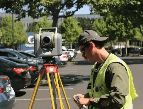
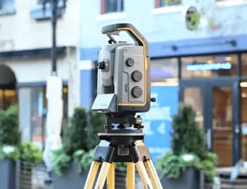
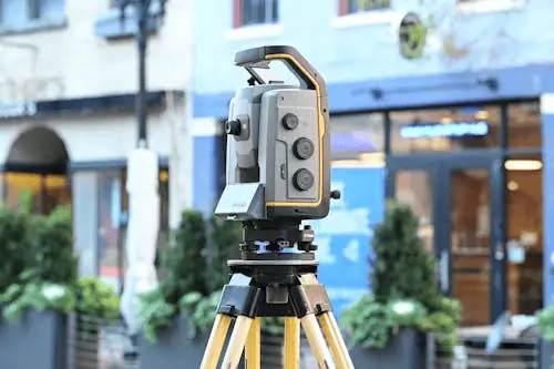
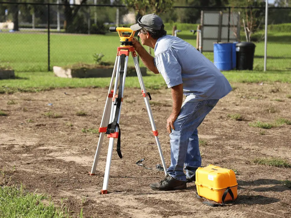
Accurate surveying protects your investment by identifying potential issues before construction begins. A proper land survey confirms property lines and corners, reveals easements or encroachments, and provides the technical data architects and engineers need. When surveyors use advanced GPS technology and laser scanning equipment, they can capture details down to fractions of an inch.
Specialized Commercial Land Surveying
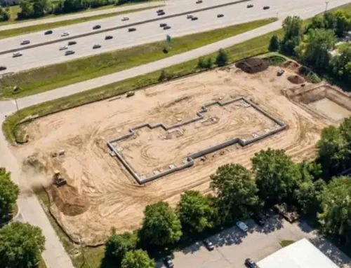
Commercial land surveying goes beyond marking boundaries. In Denver, commercial surveys typically include boundary surveys to establish legal property lines, topographic surveys to map elevation changes, ALTA/NSPS surveys for title insurance purposes, and construction staking to guide builders during development.
Denver’s zoning laws require specific documentation for commercial projects. Depending on your property’s location and intended use, you might need surveys that verify setback requirements, parking ratios, height restrictions, or flood zone classifications. Understanding these regulations makes the difference between smooth approval and months of delays.

What Commercial Land Surveys Cover
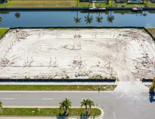
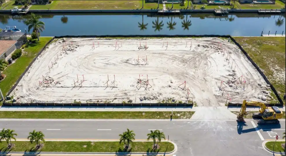
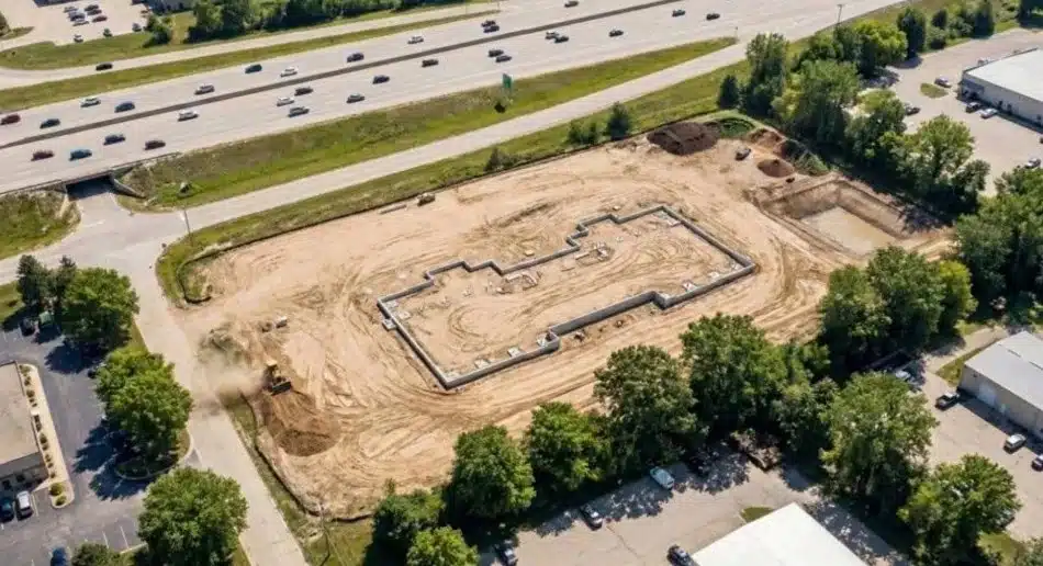
Construction Staking
Construction staking marks the exact locations where buildings, roads, utilities, and other structures need to be built. Surveyors place physical stakes that guide construction crews throughout the project.
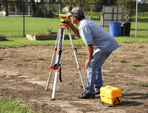
Boundary Surveys
Boundary surveys establish the legal limits of a property through researching historical records and locating existing markers. For commercial properties, these surveys often reveal easements, rights of way, or encroachments that affect how you can use the land.
Topographic Surveys
Topographic surveys map the physical features of a site, including elevation changes, trees, buildings, and water features. Engineers use this data to design drainage systems and determine how buildings will fit the natural landscape. In Denver, where properties can have significant elevation changes, topographic data becomes especially important.
As-Built Surveys
As-built surveys document what was actually constructed compared to the original design plans. These surveys verify that everything was built according to approved plans and provide accurate records for property owners and lenders.
Why Choose a Denver Surveyor?
Local expertise makes a difference in commercial surveying, since firms familiar with Denver, know the grid system, zoning rules, and common title issues. Strong ties with local title companies, engineers, and government offices help speed up the process and avoid roadblocks. The most reliable firms also keep licensed surveyors in-house, ensuring quality control and accountability for every project.
Tailored Surveying Services
Precise Design Surveys
Design surveys provide the detailed information architects and engineers need to create accurate plans. These surveys combine boundary data, topographic information, and utility locations into comprehensive site maps. The level of detail depends on your project’s complexity.
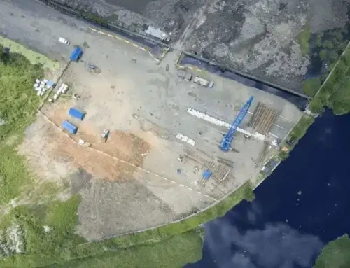
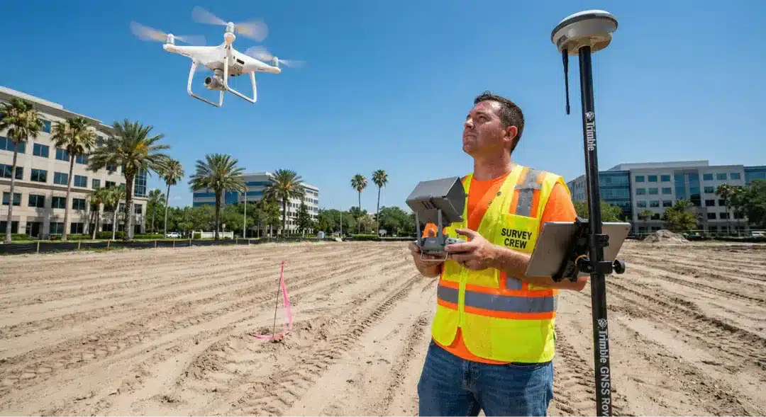
Modern surveyors now use drone surveys to collect data for large commercial sites. Drones equipped with high-resolution cameras and LIDAR sensors can map entire properties in hours instead of days. The aerial photography captured during these flights provides detailed views of site conditions that help identify potential issues before design work begins.
Topographic Surveys for Planning
Planning a commercial development requires understanding every aspect of your site’s topography. Detailed elevation data helps engineers design grading plans that minimize earthwork costs and prevent drainage problems. In Denver, where afternoon thunderstorms can dump significant rainfall, proper drainage design based on accurate topographic surveys prevents flooding issues.
Topographic surveys also identify existing utilities, both above and below ground. Knowing where water lines, sewer mains, and gas lines run across your property affects building placement and helps you avoid expensive utility relocation costs. Different types of land surveys serve different purposes, but topographic surveys provide the foundational data that most commercial projects need.
Why Professional Surveyors Stand Out in Denver
The best commercial surveyors are reliable, delivering surveys on time with clear communication so construction schedules stay on track. They blend traditional methods with advanced tools like GPS, laser scanners, and drones to capture accurate site data. This combination ensures consistent results and detailed models for every project.
Commercial projects move fast, and delays cost money. Professional surveyors understand the urgency and structure their workflow to deliver results quickly without sacrificing accuracy.
Ready to move forward with your Denver commercial project? Get started with a professional land survey that gives you the accurate data you need to build with confidence.
Frequently Asked Questions
What does a commercial land surveyor do?
Commercial land surveyors measure and map properties for business and development purposes. They establish boundaries, document topography, verify zoning compliance, and provide the technical data needed for construction projects.
How long does a survey take in Denver?
Survey timelines vary based on project complexity and property size. A simple boundary survey might take one to two weeks from start to finish. Larger projects requiring topographic data or ALTA/NSPS surveys can take three to four weeks.
What documents are needed before a survey?
Surveyors typically need your property deed, title commitment or title policy, previous surveys if available, and site plans or development drawings if you have them.
How much does a commercial survey cost?
Survey costs depend on property size, terrain complexity, survey type, and required deliverables. A basic boundary survey for a small commercial lot might cost a few thousand dollars, while large ALTA/NSPS surveys for complex properties can run significantly higher.
Building in Denver? Lay the Groundwork with a Professional Surveyor
Commercial development in Denver requires accurate surveying from day one. The right surveyor brings local expertise, advanced technology, and proven experience to your project. They understand Denver’s unique terrain, know the local regulations, and deliver the precise data you need to move forward with confidence.
