
Denver’s commercial real estate landscape is evolving fast. With commercial property market growth driving new construction and redevelopment across the metro area, accurate land surveying has become critical for developers, property owners, and investors. From mixed-use projects in LoDo to industrial parks near DIA, every build starts with precise measurements and clear property boundaries. Getting the foundation right means avoiding costly mistakes, disputes, and delays down the road.
Key Takeaways
- Commercial land surveying in Denver requires local expertise in zoning laws and terrain challenges.
- Precision measurements prevent property line disputes and ensure regulatory compliance before construction begins.
- Specialized services include boundary surveys, topographic mapping, construction staking, and drone-assisted data collection.
- Working with a Denver-based surveyor ensures faster turnaround and familiarity with local building codes.
- Advanced technology like GPS and drones improves accuracy while reducing project timelines.
Precision in Every Measurement
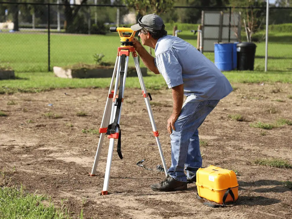
When you’re investing millions in a commercial project, there’s no room for guesswork. A single miscalculation can lead to property line disputes, zoning violations, or structural issues that cost far more to fix than prevent. That’s where professional surveying comes in. Before breaking ground, you need to know exactly what you’re working with: property boundaries, elevation changes, existing utilities, and potential easements.
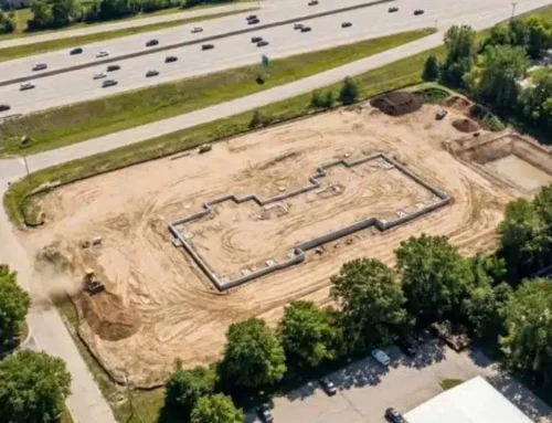
Denver’s unique geography adds another layer of complexity. The transition from flat plains to foothill terrain means elevation shifts can affect drainage, grading, and foundation work. A qualified commercial land surveyor in Denver understands these challenges and uses advanced tools to deliver measurements you can build on with confidence.
Specialized Commercial Land Surveying
A commercial land survey goes beyond basic boundary marking. It’s a comprehensive assessment that documents everything affecting your property’s development potential. This includes physical features like slopes, trees, and water bodies, as well as legal considerations like setbacks, access rights, and recorded easements.
In Denver, surveyors must navigate a mix of municipal, county, and state regulations. Recent land-use law changes mean staying current on evolving zoning rules, density requirements, and environmental protections. A local surveyor who works regularly with Denver planning departments can flag potential issues early, saving time and money during the permitting process.
Zoning compliance reports are often required alongside surveys to verify that your intended use aligns with current regulations. These reports detail allowable building heights, parking requirements, and use restrictions specific to your parcel’s zone district.
Our Areas of Expertise
Construction Staking
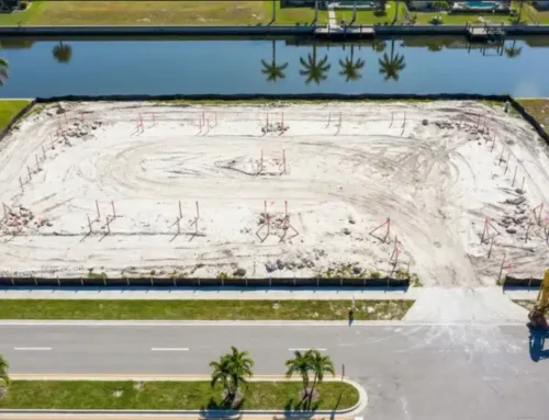
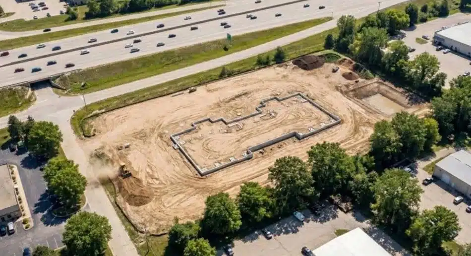
Construction staking translates architectural plans into real-world markers. Surveyors set physical stakes and reference points that guide excavation, foundation placement, and building layout. This service ensures that every element gets built exactly where it’s supposed to be, preventing expensive rework and keeping projects on schedule.
Boundary Surveys
Boundary surveys establish the legal edges of your property. Using recorded deeds, plats, and physical markers, surveyors locate and mark property corners and lines. This documentation protects against encroachment issues and provides the certainty lenders and title companies require before closing.
Topographic Surveys
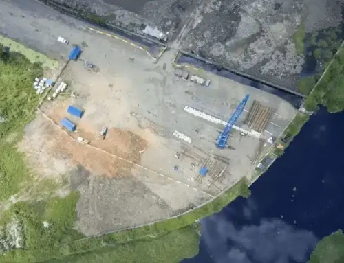
Topographic surveys map the vertical and horizontal features of your site. They capture elevation contours, vegetation, existing structures, and improvements. Architects and engineers use this data to design grading plans, drainage systems, and site layouts that work with the land’s natural characteristics.
Land Mapping
Land mapping creates detailed visual records of property features and conditions. These maps serve as baseline documentation for development projects, providing a clear reference that all stakeholders can use throughout the building process.
Corner Records
Corner records document the precise location of property corners using GPS coordinates and physical monuments. These records get filed with the county and create a permanent reference for future surveys, helping maintain property line accuracy across generations of ownership.
As-Built Surveys
As-built surveys document what actually got constructed compared to original plans. They’re typically required at project completion to verify compliance with permits and provide accurate records for property owners and local agencies.

Why Choose a Denver Surveyor?
Working with a local surveyor gives you more than technical expertise. You get someone who knows Denver’s quirks: the clay soils that shift with moisture changes, the high-water table in certain areas, the specific documentation requirements of different municipalities across the metro.
Denver’s building codes and zoning ordinances vary by neighborhood and district. A surveyor who regularly works in the area understands these nuances and maintains relationships with planning departments, which can smooth the review process. They can also respond quickly to field questions or site changes, rather than coordinating from out of state.
Proven Track Record
Experience matters when accuracy is everything. Established Denver surveyors have completed projects across the region, from retail centers along Colorado Boulevard to office parks in the Denver Tech Center. They’ve worked with the full range of stakeholders: developers, architects, engineers, lenders, and legal teams.
This track record means knowing what documentation different parties need, understanding common issues before they become problems, and delivering reports that meet industry standards without requiring revisions or clarifications.
Tailored Surveying Services
Precise Design Surveys
Design surveys provide the detailed site information architects and engineers need to create effective plans. These surveys go beyond basic topography to include utility locations, existing improvements, and site access considerations that affect design decisions.
Topographic Surveys for Planning
Planning-focused topographic surveys emphasize the information needed for zoning applications and preliminary design work. They balance detail with efficiency, providing enough data to move forward without unnecessary time or cost.
Additional Services
Modern surveying extends beyond traditional measurement techniques. Construction staking services help contractors translate plans into precise field locations throughout the build process, not just at the start.
As-built surveys document final conditions, creating records that benefit property managers and future development. These surveys capture what actually exists on site, including any approved changes made during construction.
Boundary surveys protect property rights and prevent disputes by establishing clear, legally defensible property lines. They’re essential for any transaction involving commercial real estate.
Why We Stand Out in Denver
Reliability comes from controlling the process. Unlike firms that subcontract work, Millman employs licensed surveyors directly. This means consistent quality, faster communication, and accountability from start to finish. You work with the same team throughout your project, not different crews on different visits.
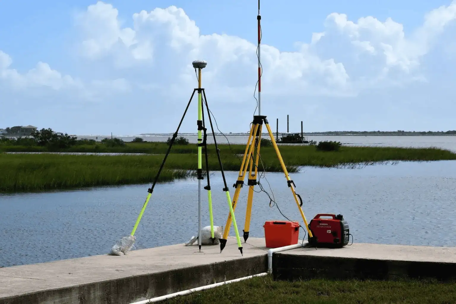
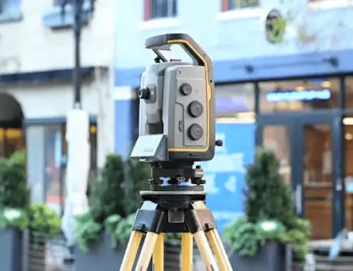
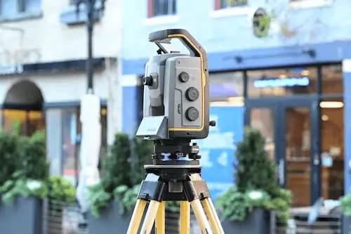
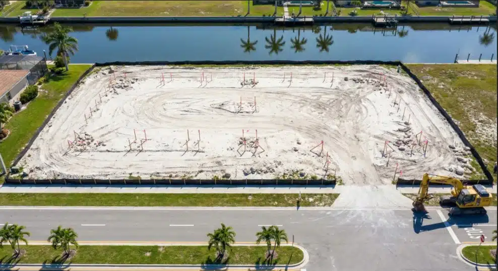
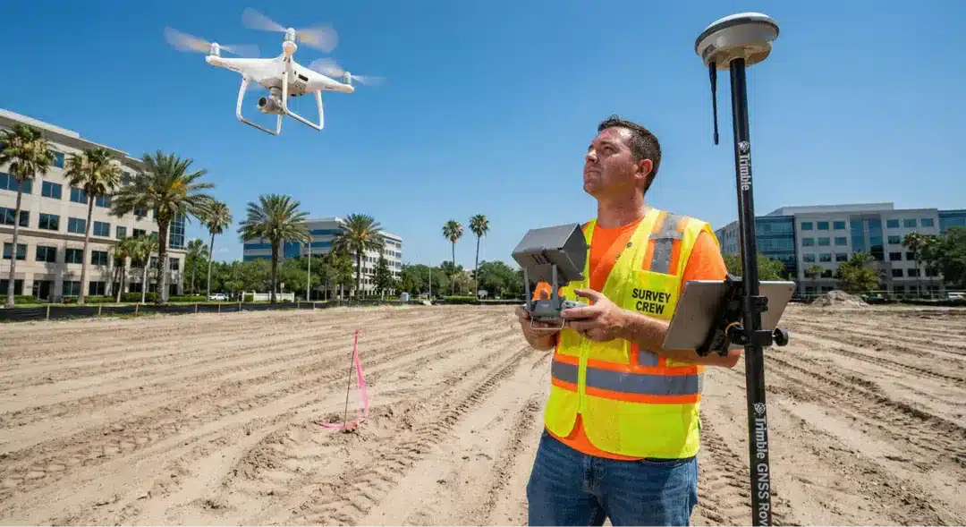
Technology makes a difference too. GPS equipment and drone surveying collect data faster and more accurately than traditional methods. Drones are particularly useful for large sites, difficult terrain, or areas with limited access. They capture comprehensive imagery and elevation data in a fraction of the time ground surveys require.
Fast turnaround keeps projects moving. When surveyors understand your timeline and have the resources to prioritize your work, you get results when you need them, not when it’s convenient.
Ready to start your Denver commercial project with confidence? Get your professional survey consultation and ensure your project begins on solid ground.
Frequently Asked Questions
What Does a Commercial Land Surveyor Do?
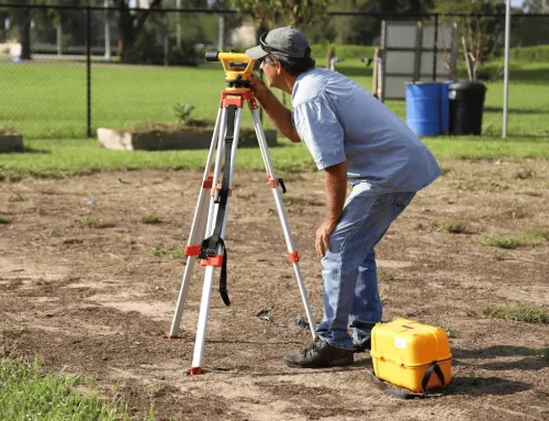
A commercial land surveyor measures and documents property boundaries, topography, and site features. They create legal descriptions, verify property lines, and provide the technical data needed for development projects. Their work forms the foundation for design, permitting, and construction.
How Long Does a Survey Take in Denver?
Timeline depends on property size and survey complexity. Simple boundary surveys might take a few days, while comprehensive topographic surveys of large commercial sites can require several weeks. Weather and access issues can affect scheduling, particularly during winter months.
What Documents Are Needed Before a Survey?
Surveyors typically need your property deed, existing plats or surveys, title reports, and any recorded easements or restrictions. Having these documents ready speeds up the process and ensures more accurate results.
How Much Does a Commercial Survey Cost?
Survey costs vary based on property size, terrain complexity, survey type, and required deliverables. Simple boundary surveys cost less than full ALTA surveys with extensive topographic data. Most surveyors provide quotes after reviewing property details and project requirements.
Building in Denver? Lay the Groundwork With a Professional Surveyor
Denver’s commercial development opportunities are expanding, but success starts with accurate information. Whether you’re planning a new build, expansion, or property transaction, professional surveying provides the certainty you need to move forward. The right survey saves money by preventing problems, speeds approvals by meeting requirements the first time, and protects your investment by establishing clear legal boundaries. Don’t let survey delays or inaccuracies derail your project timeline or budget.
