
Laredo sits at one of the busiest trade corridors in the country, and that constant movement of goods brings steady demand for warehouses, logistics hubs, and commercial facilities. With development pressure rising across South Texas, landowners and developers need more than rough estimates when it comes to property boundaries. They need exact data. A commercial land surveyor helps bridge the gap between what you think you own and what the records actually show, giving you the foundation to build with confidence.
Key Takeaways
- Accurate surveys protect your investment by defining legal boundaries before construction begins.
- Laredo’s border location creates unique zoning and regulatory challenges that require local expertise.
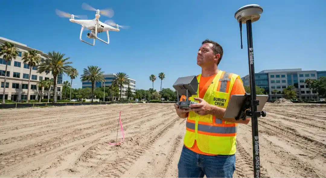
- Drone technology speeds up data collection while improving accuracy on large commercial sites.
- ALTA/NSPS surveys are often required by lenders and title companies for commercial transactions.
- Working with a surveyor who understands Texas land law prevents costly disputes down the road.
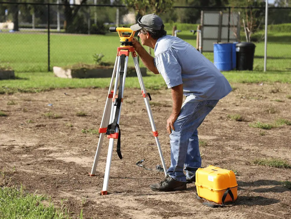
Precision in Every Measurement
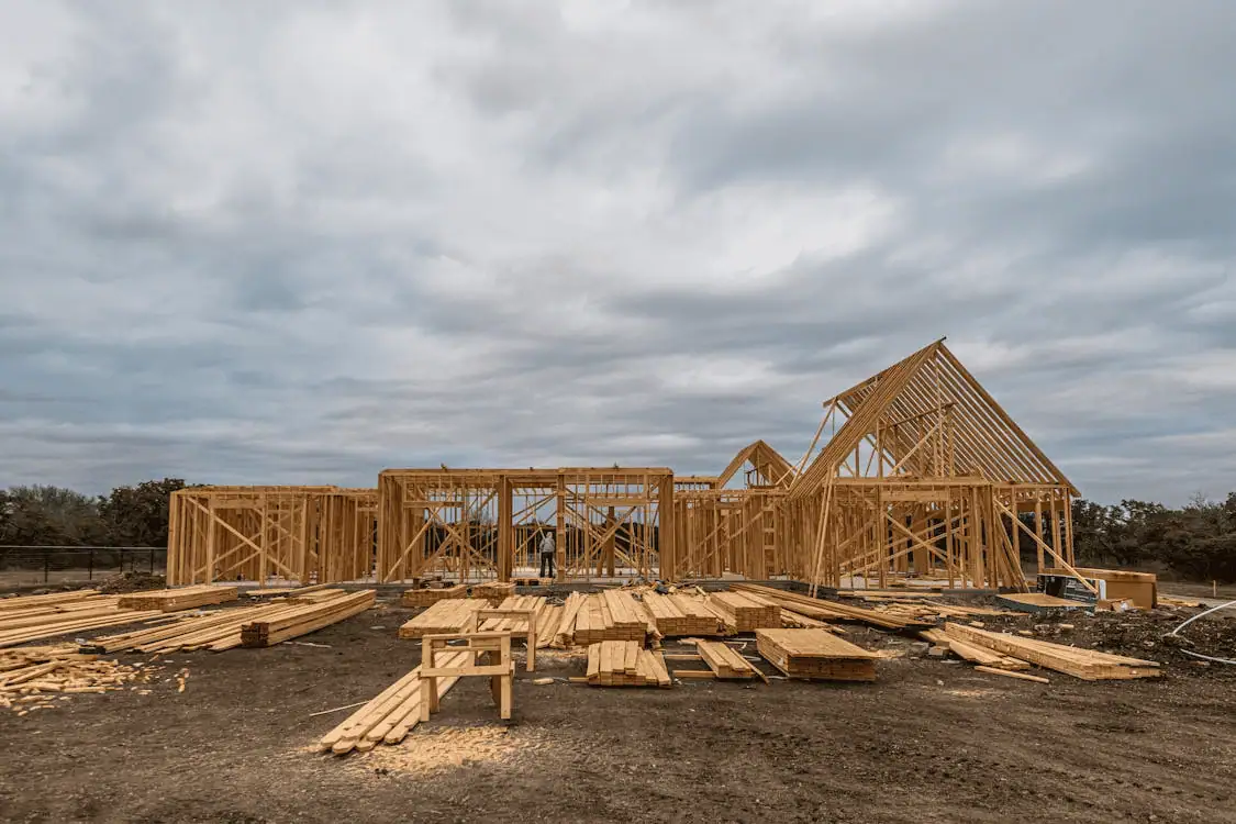
Commercial projects don’t leave room for guesswork. A boundary that’s off by even a few feet can trigger disputes with neighbors, violate setback requirements, or derail an entire development timeline.
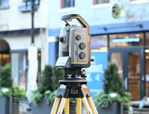
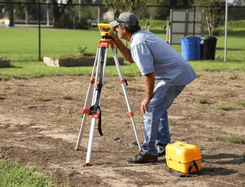
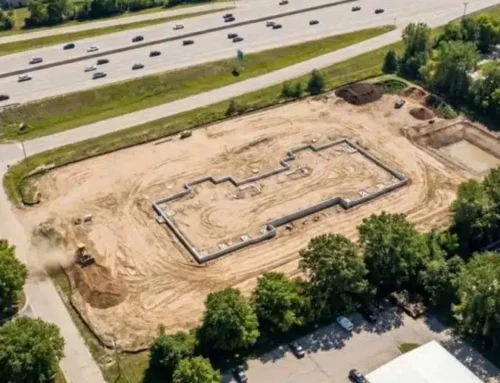
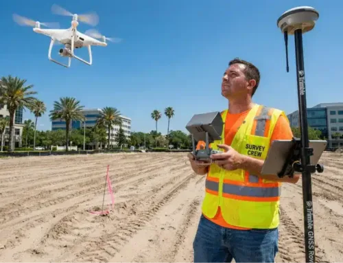
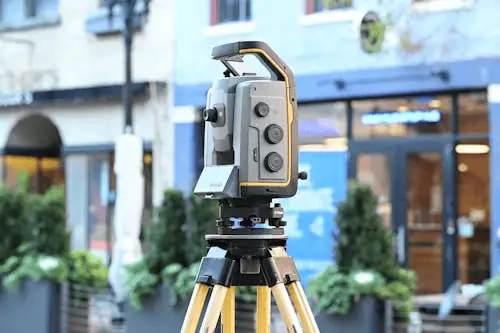
In Laredo, where industrial parks and retail centers are expanding into previously undeveloped land, precision becomes even more important. Survey crews use GPS equipment, total stations, and drone-mounted sensors to capture measurements that hold up under legal scrutiny.
The data collected during a survey feeds directly into your site plans, engineering drawings, and permit applications. When those numbers are accurate from the start, you avoid the expensive rework that comes from discovering problems after construction has begun. This is why lenders and title insurers typically require certified surveys before closing on commercial property transactions.
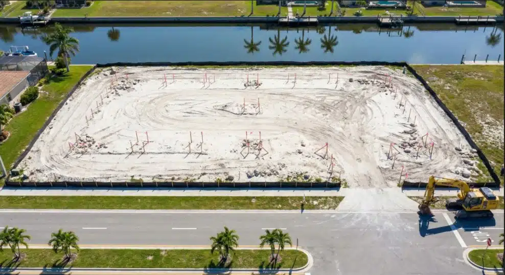
Specialized Commercial Land Surveying
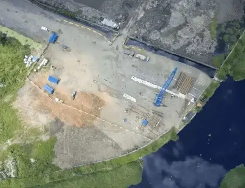
Commercial surveying differs from residential work in scope and complexity. A single warehouse site might span dozens of acres, with multiple easements, utility corridors, and environmental restrictions layered on top of each other. Surveyors need to identify all of these elements and map them precisely so that architects and engineers can design around them.
Laredo’s location on the Mexican border adds another layer of complexity. International trade zones, customs facilities, and transportation infrastructure all come with their own zoning requirements that must be verified before breaking ground. A surveyor familiar with the region knows which agencies to contact and what documentation to gather.
Our Areas of Expertise
Construction Staking
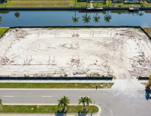
Before equipment rolls onto your site, construction staking translates design plans into physical markers on the ground. Survey crews set stakes that show exactly where foundations, utilities, and roads should go. This step keeps contractors aligned with the approved plans and helps prevent costly positioning errors.
Boundary Surveys
Boundary surveys establish the legal limits of your property by locating monuments, analyzing deeds, and resolving any discrepancies between documents and physical evidence. For commercial buyers, this survey type is often the first step in due diligence.
Topographic Surveys
Topographic surveys capture elevation changes, drainage patterns, and existing features across your site. Engineers rely on this data to design grading plans, stormwater systems, and building foundations that work with the natural terrain rather than against it.
Land Mapping
Large-scale land mapping combines aerial imagery with ground-based measurements to create comprehensive site documentation. This approach works especially well for master-planned developments and industrial campuses where traditional methods would take weeks to complete.
Corner Records
Corner records document the location and condition of property corners, creating a permanent reference for future surveys. In areas where development is rapidly changing the landscape, these records become valuable for resolving boundary questions years down the road.
As-Built Surveys
As-built surveys verify that completed construction matches the approved plans. Lenders and municipalities often require this documentation before releasing final payments or issuing certificates of occupancy.

Why Choose a Laredo Surveyor?
Local knowledge matters in commercial surveying. A team that works regularly in Laredo understands the quirks of Webb County records, knows which title companies handle complex transactions, and has relationships with the engineers and attorneys you’ll need throughout your project. They also understand how the region’s geology and climate affect survey work, from expansive clay soils to seasonal flooding along the Rio Grande.
Millman National Land Services brings this local expertise together with national resources. As part of CBRE, the company handles everything from single-site boundary surveys to multi-state portfolio transactions, all while maintaining direct control over the survey process through in-house licensed professionals.
Proven Track Record
Experience shows up in the details. A surveyor who has completed hundreds of commercial projects knows how to anticipate problems, communicate with stakeholders, and deliver results on tight deadlines. Millman’s team includes surveyors, analysts, attorneys, and project coordinators who work together to keep your transaction moving forward.
The commercial real estate industry has faced challenges recently, with the ongoing real estate crisis affecting office vacancy rates and lending standards. In this environment, accurate survey data becomes even more important for securing financing and closing deals.
Tailored Surveying Services
Precise Design Surveys
Design surveys give architects and engineers the baseline data they need to start planning. These surveys capture existing conditions, utility locations, and regulatory constraints so that design teams can make informed decisions from day one.
Topographic Surveys for Planning
When planning sustainable commercial development, detailed topographic data helps minimize grading and preserve natural drainage patterns. This approach reduces construction costs while meeting environmental requirements.
Additional Services
Beyond traditional field work, Millman offers alta survey land surveying services that meet the strict standards required by title insurers and lenders. The company also provides zoning compliance reports, environmental due diligence support, and telecommunications surveys for cell tower projects.
Their virtual site walk technology allows clients to review sites remotely, saving travel time and speeding up decision-making on multi-property portfolios.

Why We Stand Out in Laredo
Millman controls the survey process from start to finish by employing licensed surveyors directly rather than subcontracting to local firms. This approach ensures consistent quality, clear communication, and faster turnaround times. When questions come up, you’re talking to the people who actually did the work.
Advanced technology plays a role too. Drone surveys capture aerial imagery and elevation data in a fraction of the time required by traditional methods, making them ideal for large commercial sites and hard-to-access terrain.
Frequently Asked Questions
What does a commercial land surveyor do?
A commercial land surveyor measures and maps property boundaries, topography, and existing features to support real estate transactions, construction projects, and regulatory compliance.
How long does a survey take in Laredo?
Timing depends on the property size and survey type. A straightforward boundary survey might take a few days, while a comprehensive ALTA survey for a large site could require two to three weeks.
What documents are needed before a survey?
Surveyors typically need copies of the deed, title commitment, and any existing surveys. For ALTA surveys, you’ll also need to provide Table A requirements and contact information for utilities.
How much does a commercial survey cost?
Costs vary based on property size, survey type, and project complexity. Request a quote with your specific requirements for an accurate estimate.
Ready to Start Your Laredo Project?
Building in Laredo means working with the land, the regulations, and the realities of a fast-growing border economy. A professional land survey gives you the foundation to move forward with confidence. Get your commercial land survey started today and lay the groundwork for a successful project.