
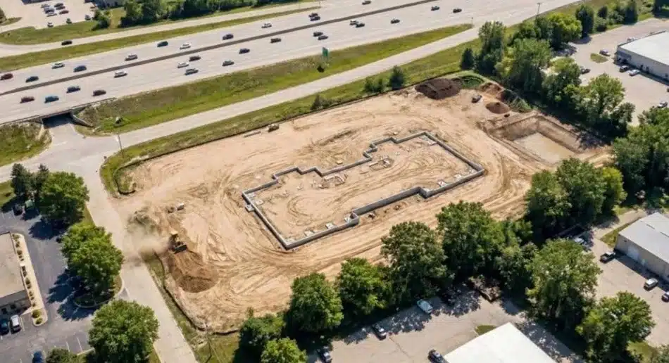
Milwaukee’s commercial real estate market is evolving fast. New developments, industrial expansions, and mixed-use projects are reshaping the city’s landscape. With this growth comes the need for accurate land surveying that meets local regulations, zoning requirements, and project timelines. Whether you’re developing a warehouse in the Menomonee Valley, planning a retail center in Wauwatosa, or expanding manufacturing facilities in West Milwaukee, precision surveying forms the foundation of every successful project.
Key Takeaways
- Commercial land surveying in Milwaukee requires knowledge of local zoning codes and Wisconsin state regulations.
- Accurate surveys prevent costly delays, boundary disputes, and construction errors.
- Services include boundary surveys, topographic mapping, construction staking, and as-built documentation.
- Advanced technology like GPS and drones improves accuracy and speeds up project timelines.
- Experienced Milwaukee surveyors understand the unique challenges of urban and industrial development in the area.
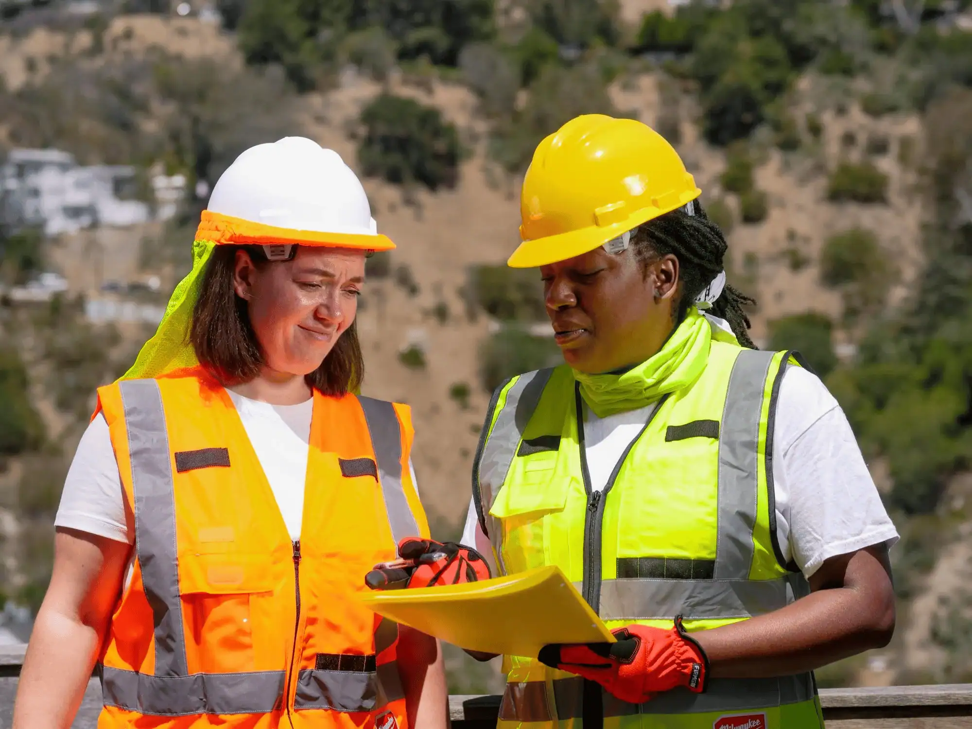
Precision in every measurement
Milwaukee projects don’t have room for guesswork. A small error in measurement can lead to major setbacks, from foundation issues to zoning violations that stop construction cold. When you’re dealing with tight urban lots, complex property lines, or phased development plans, you need surveying that gets it right the first time. That’s where working with experienced professionals who understand Milwaukee’s specific requirements makes all the difference. The city’s mix of historic properties, industrial zones, and new developments creates unique surveying challenges that require both technical skill and local knowledge.
Getting accurate data upfront saves time and money throughout your project. It helps architects design within actual site constraints, engineers plan proper grading and drainage, and contractors build exactly where they should. For commercial projects in Milwaukee, where development timelines directly impact your bottom line, precision surveying isn’t optional.
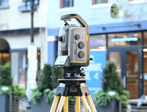
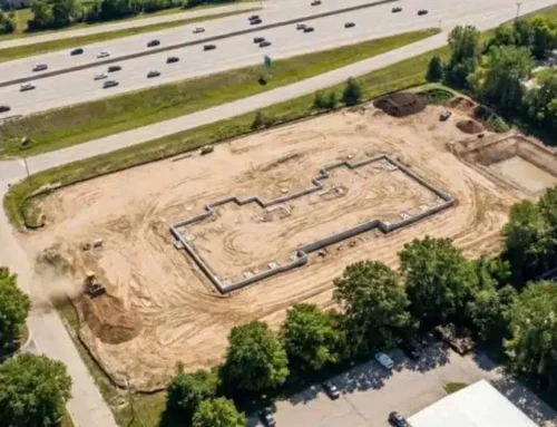
Specialized commercial land surveying
Commercial land surveying goes beyond simply marking property corners. It involves detailed analysis of site conditions, boundary verification, elevation mapping, and zoning compliance documentation. In Milwaukee, these surveys must account for Wisconsin state requirements while meeting specific municipal regulations that vary between the city itself and surrounding communities like Wauwatosa, West Allis, and Greenfield.
A thorough commercial land survey provides the data your team needs to move forward confidently. This includes identifying easements, encroachments, or restrictions that could affect your development plans. For commercial projects, understanding these details before breaking ground prevents expensive surprises later. Milwaukee’s industrial history means many sites have legacy issues that need careful documentation, from old utility lines to previous structures that may still affect current use.
The process also includes creating detailed maps that show existing features, elevation changes, and potential obstacles. This information guides everything from site planning to utility placement. When dealing with zoning compliance reports, having accurate survey data ensures your project meets all local requirements before you submit plans for approval.

Our areas of expertise
Construction staking
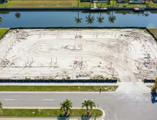
Construction staking translates design plans into physical markers on your site. We place stakes that guide contractors on where to dig, pour, and build. This service is critical for keeping projects on track and ensuring structures go up exactly where they should. In Milwaukee’s dense commercial areas, where properties often sit close together, accurate staking prevents encroachment issues and keeps work crews aligned with approved plans.
Boundary surveys
Boundary surveys establish the exact legal limits of your property. These surveys research historical records, locate monuments, and measure current conditions to determine where your land begins and ends. For commercial purchases or development in Milwaukee, boundary surveys protect your investment by confirming what you actually own. They’re also required for title insurance and closing on most commercial transactions.
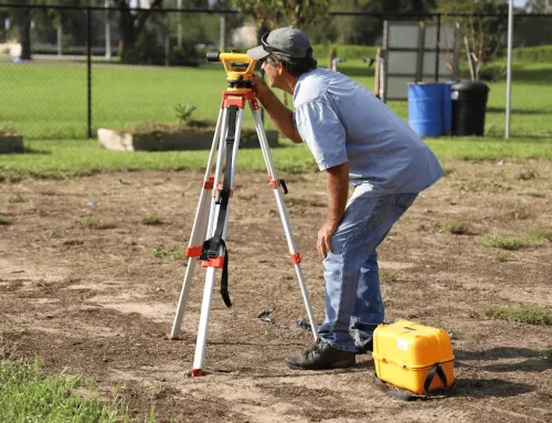
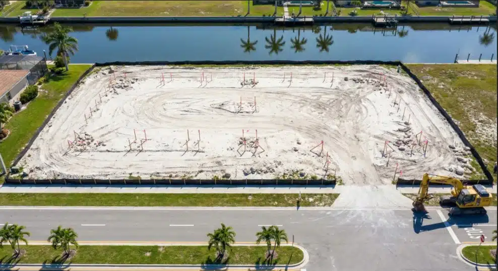
Topographic surveys
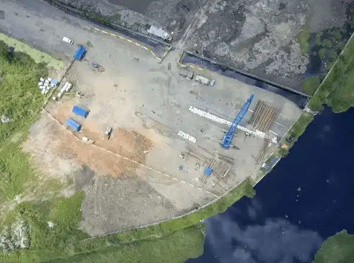
Topographic surveys map elevation changes, natural features, and existing structures across your site. This data is essential for drainage planning, grading design, and understanding how your building will interact with the surrounding terrain. Milwaukee’s proximity to Lake Michigan and the presence of rivers like the Menomonee and Kinnickinnic means proper topographic analysis is critical for managing water issues that could affect your project.
Land mapping
Detailed land mapping provides a comprehensive view of your site conditions. These maps include property boundaries, easements, utilities, and physical features. They serve as reference documents throughout your project, helping different teams coordinate work and avoid conflicts. For phased developments or multi-building projects, land mapping keeps everyone working from the same accurate information.
Corner records
Corner records document property corners and boundary markers for official filing with the county. In Wisconsin, these records are legal documents that establish property lines for future reference. Maintaining accurate corner records protects property rights and provides clear documentation for any future surveys or boundary questions.
As-built surveys
As-built surveys document what actually got constructed compared to original plans. These surveys are often required before final inspections or occupancy permits. They verify that buildings, parking areas, and utilities ended up where they were supposed to be. For lenders and future property transactions, as-built surveys provide proof that construction met approved specifications.
Why choose a Milwaukee surveyor?
Working with a land surveyor in Wisconsin who knows Milwaukee gives you advantages that out-of-town firms can’t match. Local surveyors understand seasonal challenges, from winter ground conditions to spring flooding patterns that affect scheduling. They have relationships with city departments, know which records offices to contact, and can navigate local procedures efficiently.
Milwaukee’s building codes and zoning regulations have specific requirements that change between different districts and municipalities. A surveyor familiar with these rules helps you avoid compliance issues that could delay your project. They also understand the city’s development patterns, from brownfield redevelopment to adaptive reuse projects that are transforming older industrial areas.
Beyond regulatory knowledge, local expertise means understanding the physical characteristics of Milwaukee sites. The city’s geology, soil conditions, and water table variations all affect surveying approaches. Experienced local surveyors know what to look for and how to address common issues specific to the area.

Proven track record
Experience matters when accuracy is non-negotiable. Surveyors who have worked extensively in Milwaukee bring knowledge from hundreds of local projects. They’ve handled everything from small lot surveys in historic districts to large industrial site surveys in the harbor area. This background helps them anticipate challenges and provide solutions based on what’s worked before.
Strong track records also come from using proven methods combined with current technology. Surveyors who invest in training and equipment deliver better results faster. For commercial clients, this translates to fewer delays and more reliable data for decision-making.
Tailored surveying services
Precise design surveys
Design surveys provide the detailed information architects and engineers need to create accurate plans. These surveys capture existing conditions down to small details that could affect design choices. For Milwaukee commercial projects, where sites often have constraints from adjacent properties or existing infrastructure, design surveys ensure plans work with reality instead of against it.
Topographic surveys for planning
Planning-level topographic surveys help evaluate sites before you commit to purchase or design. These surveys show whether a property can accommodate your intended use. Tracking the commercial real estate outlook helps understand how current market conditions affect development decisions, while topographic data shows what’s physically possible on your specific site.
Additional services
Commercial surveying often requires specialized work beyond basic boundary or topographic surveys. Construction staking ensures your building goes up in the right location. As-built surveys document completed work for record-keeping and permitting. Boundary surveys resolve questions about property lines before they become disputes.
Understanding construction sector trends helps anticipate what surveying services will be most valuable for upcoming projects. Milwaukee’s development activity continues adapting to changing market demands, from warehouse conversions to new mixed-use developments. Having survey partners who understand both the technical requirements and broader construction and development trends keeps projects moving forward efficiently.
Why we stand out in Milwaukee
Reliable service starts with clear communication and consistent follow-through. You get realistic timelines based on actual site conditions and crew availability, not optimistic guesses that lead to delays. Projects stay on schedule because experienced teams know how to handle Milwaukee’s weather, coordinate with utilities, and work efficiently in both urban and suburban settings.
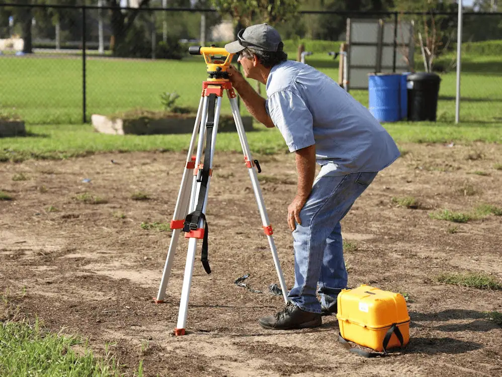
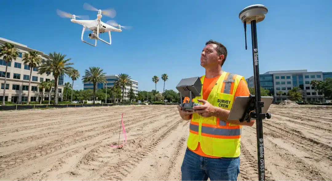
Advanced technology makes surveying faster and more accurate. GPS equipment provides precise measurements quickly. Drone surveys capture detailed site data without the time and cost of traditional methods. These tools are particularly valuable for large commercial sites or properties with difficult access. The combination of modern equipment and experienced operators delivers results that meet tight project schedules.
Fast turnaround matters when development timelines drive profitability. Efficient surveying processes, from initial field work to final deliverable preparation, keep your project moving. This means having enough qualified staff to handle multiple projects without compromising quality or missing deadlines.
Schedule your virtual site consultation to discuss your Milwaukee commercial project and get accurate timeline estimates based on your specific needs.
Frequently asked questions
What does a commercial land surveyor do?
Commercial land surveyors measure and map properties for business and development purposes. They establish boundaries, document site conditions, provide data for design and construction, and ensure projects meet zoning and regulatory requirements. Their work creates the foundation for accurate plans, permits, and successful project completion.
How long does a survey take in Milwaukee?
Survey timelines depend on property size, project complexity, and current workload. Simple boundary surveys might take a few days, while comprehensive ALTA surveys for large commercial properties could take several weeks. Weather, site access, and record research requirements all affect scheduling. Getting a specific timeline requires reviewing your property details and project needs.
What documents are needed before a survey?
Most surveys require a legal description of the property, previous survey documents if available, and title reports showing easements or restrictions. For commercial projects, site plans, zoning documents, and any previous engineering studies help surveyors understand the full picture. Having these materials ready speeds up the process and helps avoid delays from missing information.
How much does a commercial survey cost?
Commercial survey costs vary widely based on property size, survey type, site conditions, and project complexity. A small boundary survey costs less than a detailed ALTA survey with extensive improvements. Dense urban locations with difficult access or complex title issues typically cost more than open suburban sites. Getting accurate pricing requires providing specific property information and explaining what survey deliverables you need.
Ready to move forward?
Building in Milwaukee requires solid groundwork. Accurate surveying sets your project up for success by providing the data your team needs to design, permit, and construct with confidence. Whether you’re developing a single commercial lot or managing a multi-phase industrial project, professional surveying keeps you moving forward without costly surprises.
Commercial development in Milwaukee offers strong opportunities, but only when projects are built on accurate information and careful planning. Working with surveyors who combine local expertise, proven methods, and modern technology gives you the advantage of reliable data delivered on schedule.
