
Raleigh’s commercial real estate market is booming. With new developments reshaping the skyline and businesses expanding across the Triangle, accurate land surveying has become critical for successful project execution. Whether you’re planning a retail center, office complex, or industrial facility, precise measurements and zoning compliance can make or break your investment.
Precision in Every Measurement
When you’re investing millions in commercial property, there’s no room for guesswork. A single measurement error can delay construction, trigger legal disputes, or cost you thousands in corrective work. Raleigh’s diverse terrain, from flat urban lots to rolling suburban landscapes, requires surveyors who understand local conditions and can deliver consistent accuracy.
Professional commercial surveyors use state-calibrated equipment and follow strict protocols to document every detail of your property. This precision protects your investment and gives you confidence moving forward with development plans. Before breaking ground on any commercial project, having a thorough land survey establishes the foundation for everything that follows.
Specialized Commercial Land Surveying
Commercial surveying goes far beyond measuring property lines. In Raleigh, projects must comply with Wake County regulations, state building codes, and federal standards like ALTA/NSPS requirements. A qualified surveyor identifies easements, setback requirements, and potential zoning conflicts before they become expensive problems.
The surveying process documents existing structures, utilities, flood zones, and topographic features that affect your development plans. For commercial projects, understanding zoning laws specific to Raleigh and Wake County is crucial since different districts have unique restrictions on building height, lot coverage, and permitted uses. Missing these details during the planning phase can derail your entire project timeline.

Our Areas of Expertise
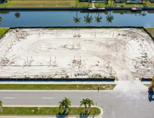
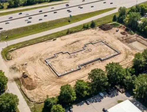
Construction Staking
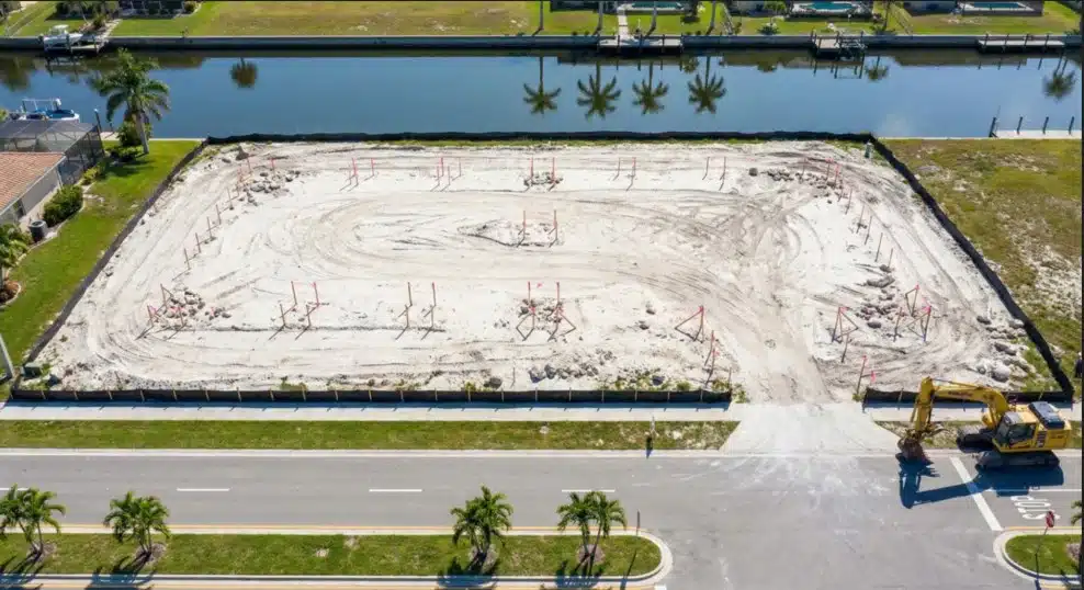
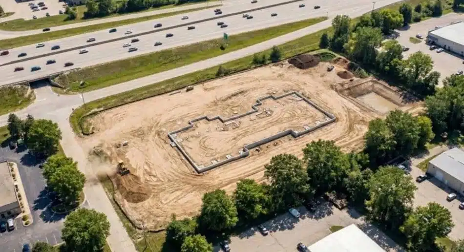
Construction staking marks exact locations for buildings, parking lots, utilities, and site features according to your architectural plans. Stakes guide excavation crews, foundation work, and utility installation so everything gets built in the right place. This service prevents costly mistakes during the construction phase and keeps your project on schedule.
Boundary Surveys
A property line survey establishes legal boundaries and identifies any encroachments or disputes. For commercial properties, this includes locating monuments, reviewing deed descriptions, and comparing historical records. Boundary surveys are essential when buying a property or resolving neighbor disputes.
Topographic Surveys
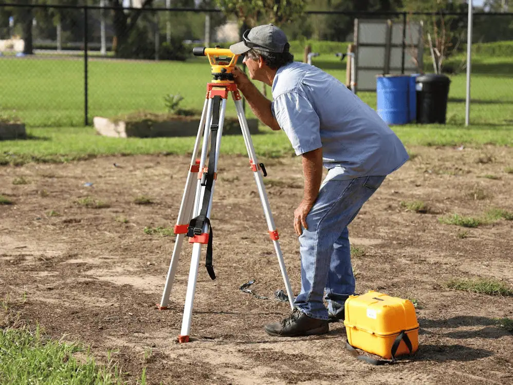
Topographic surveys map elevation changes, drainage patterns, and natural features across your site. Engineers need this data to design proper grading, stormwater management, and building placement. In Raleigh’s varied terrain, understanding topography prevents drainage issues and foundation problems.
Land Mapping
Detailed land mapping creates comprehensive visual records of property features, improvements, and boundaries. These maps serve as reference documents throughout your project lifecycle and provide accurate data for future development phases.
Corner Records
Corner records document property corners and boundary monuments according to North Carolina requirements. These official records get filed with Wake County and create a permanent reference for future surveys and property transactions.
As-Built Surveys
As-built surveys verify that construction matches approved plans and document final locations of all improvements. Lenders and local authorities often require these surveys before issuing certificates of occupancy or releasing final funding.
Why Choose a Raleigh Surveyor?
Local surveyors bring specific advantages to your commercial project. They know Raleigh’s development patterns, understand Wake County’s permitting process, and have established relationships with local officials. This familiarity speeds up approvals and helps navigate bureaucratic requirements efficiently.
A Raleigh-based surveying team understands seasonal weather patterns that affect fieldwork, knows which areas have complex title histories, and can quickly access county records. When issues arise, local surveyors can respond immediately rather than coordinating from out of state.
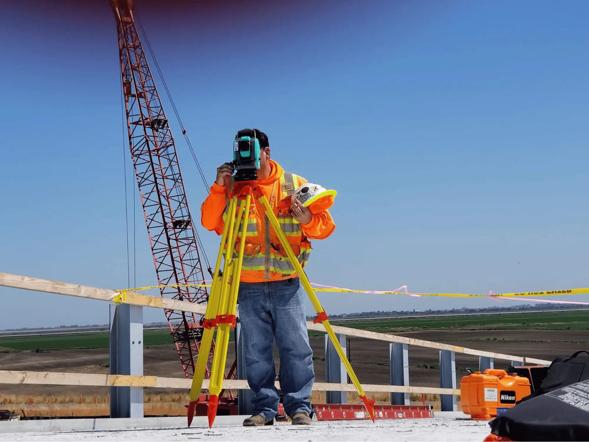
Modern surveying technology has transformed how professionals gather and analyze site data. Drone surveys capture detailed aerial photography and topographic information faster than traditional methods, reducing field time and providing clients with comprehensive visual documentation. GPS-enabled equipment delivers centimeter-level accuracy, while 3D scanning creates detailed digital models of existing conditions.
Proven Track Record
Experience matters in commercial surveying. Projects involving multiple parcels, complex easements, or challenging terrain require surveyors who have handled similar situations. Raleigh’s commercial growth over the past decade has created opportunities for surveyors to develop expertise across retail, office, industrial, and mixed-use developments.
Working with an established surveying firm means benefiting from years of accumulated knowledge about local conditions, regulatory changes, and best practices. This experience translates into fewer surprises, smoother project progression, and reliable results you can build on.
Tailored Surveying Services
Precise Design Surveys
Design surveys provide the detailed information architects and engineers need to create accurate construction documents. These surveys capture all existing conditions, including utilities, structures, vegetation, and grade changes. The data feeds directly into design software, ensuring plans reflect actual site conditions.
Topographic Surveys for Planning
Planning-phase topographic surveys help developers evaluate site feasibility and identify potential challenges early. Understanding drainage patterns, soil conditions, and elevation changes informs decisions about building placement, parking layout, and infrastructure requirements.
Additional Services
Beyond standard surveying, commercial projects often need specialized support. Construction staking continues throughout the building process as different trades need reference points. As-built surveys document changes made during construction. Boundary surveys resolve disputes or prepare properties for sale. A full-service surveying firm handles all these needs without requiring multiple contractors.

Why We Stand Out in Raleigh
Reliability defines professional surveying service. Meeting deadlines, maintaining clear communication, and delivering accurate results builds trust with clients, contractors, and lenders. Advanced technology accelerates fieldwork without sacrificing precision. GPS systems, robotic total stations, and drone platforms gather data efficiently while maintaining survey-grade accuracy.
Fast turnaround times keep commercial projects moving forward. When surveyors complete fieldwork quickly and deliver reports promptly, developers can maintain construction schedules and avoid costly delays. In Raleigh’s competitive market, speed combined with accuracy provides a significant advantage.
Ready to move forward with your Raleigh commercial project?
Frequently Asked Questions
What Does a Commercial Land Surveyor Do?
Commercial land surveyors measure and map properties for business developments, document legal boundaries, verify zoning compliance, and provide technical data for construction planning. They create official records that protect property rights and guide development decisions.
How Long Does a Survey Take in Raleigh?
Timeline depends on property size, complexity, and weather conditions. Simple boundary surveys might take a few days, while comprehensive ALTA surveys for large commercial properties can require several weeks. Local surveyors familiar with Raleigh conditions typically provide accurate timeline estimates during initial consultations.
What Documents Are Needed Before a Survey?
Surveyors need property deeds, previous survey records if available, site plans, and any easement documents. Title reports help identify potential boundary issues. Having these documents ready speeds up the surveying process and ensures complete results.
How Much Does a Commercial Survey Cost?
Survey costs vary based on property size, terrain difficulty, survey type, and turnaround requirements. Simple boundary surveys cost less than comprehensive ALTA surveys with detailed improvements. Most surveyors provide quotes after reviewing project specifics and site conditions.
Building in Raleigh? Lay the Groundwork with a Professional Surveyor
Commercial success starts with accurate information. Whether you’re acquiring property, planning development, or managing construction, professional surveying protects your investment and keeps projects moving forward. Raleigh’s growth creates opportunities, but only when you build on solid ground with precise measurements and proper documentation.
