
Seattle’s construction boom isn’t slowing down anytime soon. With commercial developments rising across the city and surrounding areas, accurate land surveying has become more than a checkbox on a permit application. It’s the foundation that keeps projects on track, budgets under control, and legal issues at bay.
When you’re dealing with Seattle’s unique topography, strict zoning regulations, and complex land use requirements, having a surveyor who knows the terrain makes all the difference.
Key Takeaways
- Commercial land surveying provides the precise measurements and data needed for development projects in Seattle.
- Drone technology and GPS systems offer faster, more accurate surveys than traditional methods.
- Understanding Seattle’s zoning laws prevents costly delays and legal complications.
- ALTA/NSPS surveys are the industry standard for commercial real estate transactions.
- Professional surveyors handle everything from boundary disputes to construction staking.
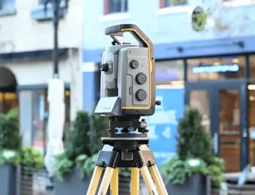
Precision in Every Measurement
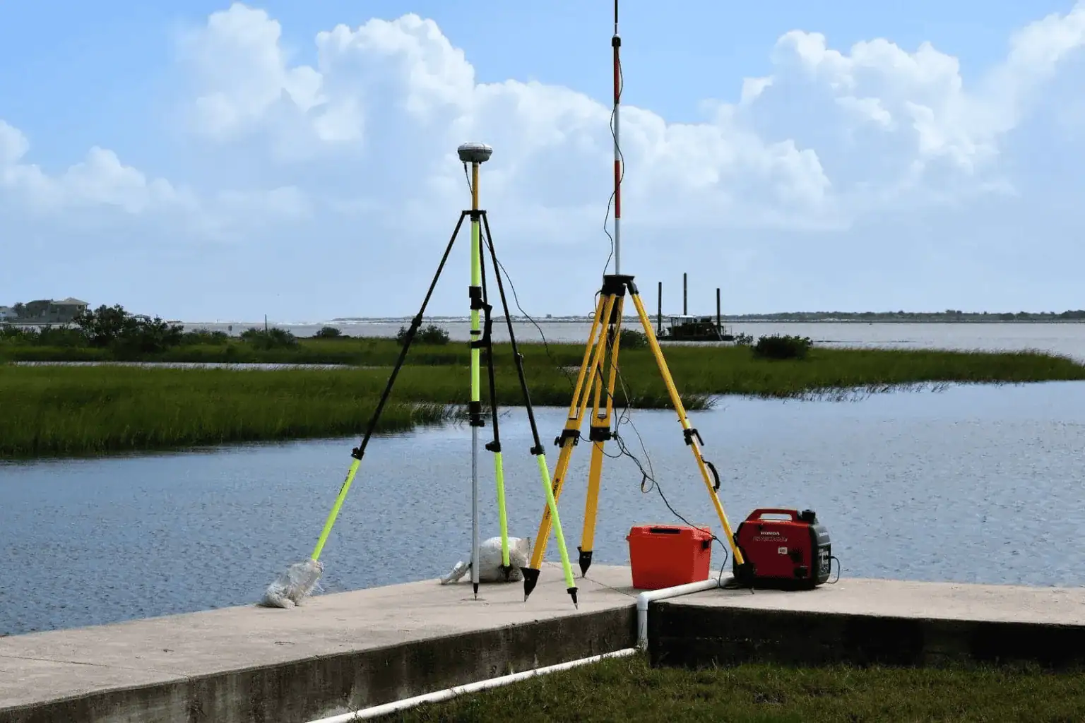
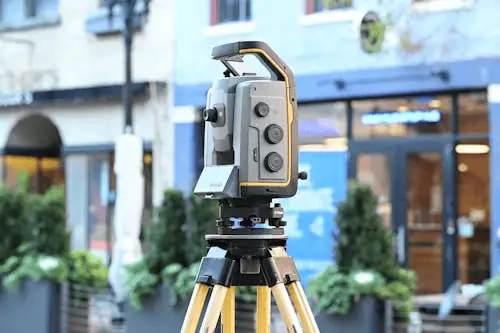
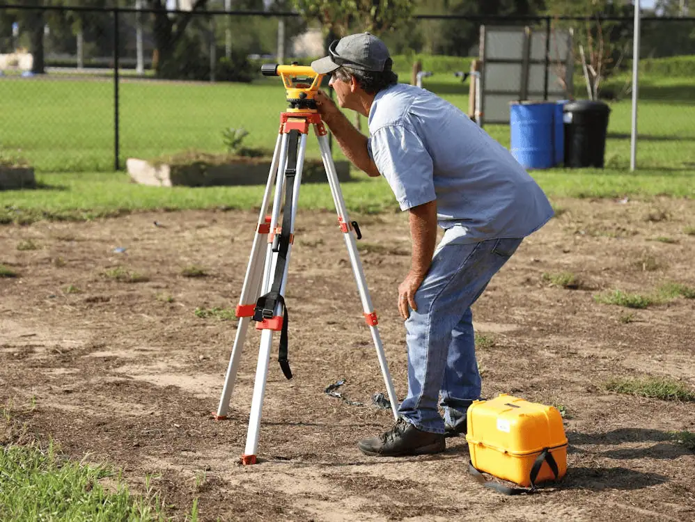
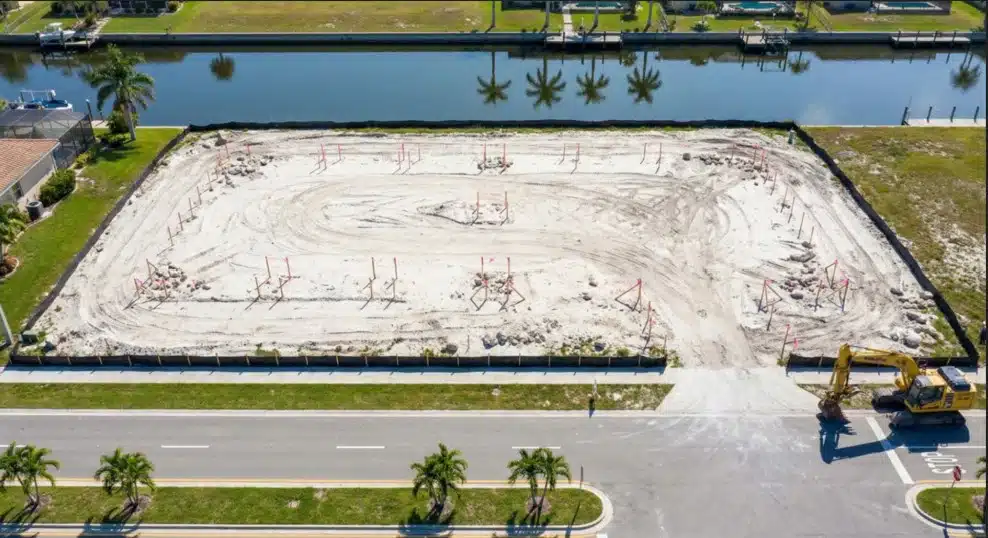
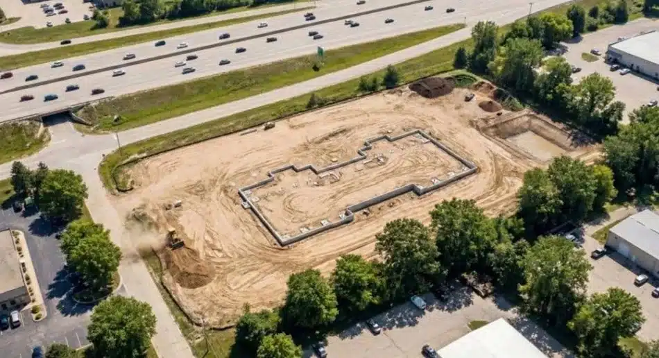
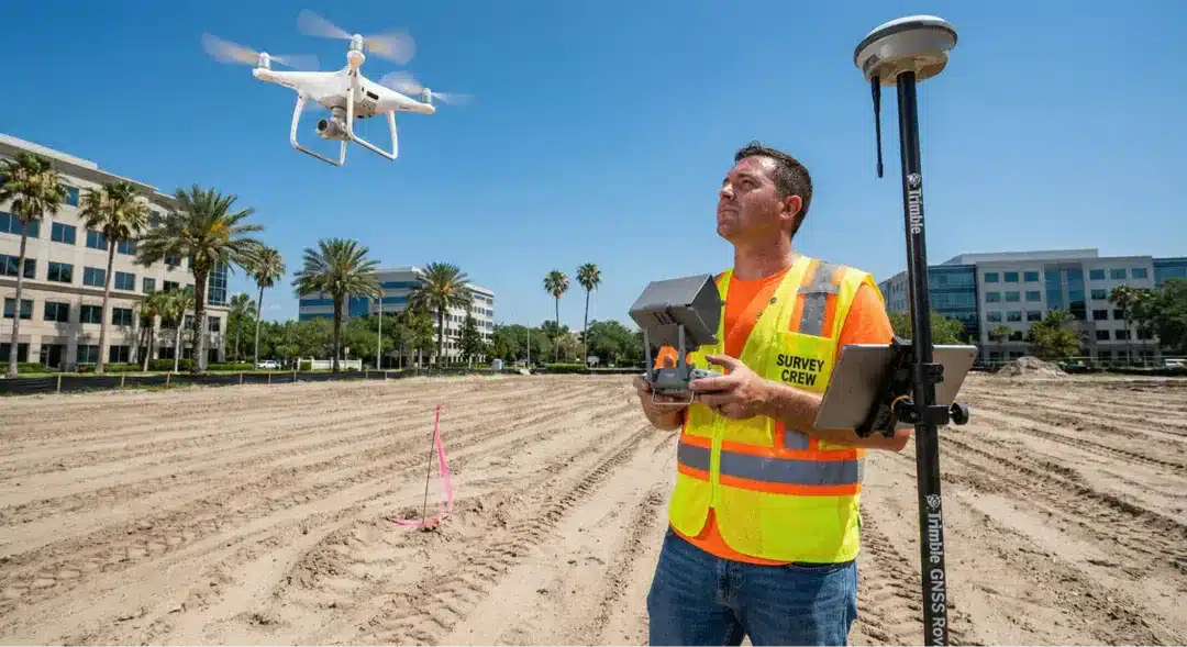
Seattle’s commercial landscape doesn’t forgive guesswork. A few inches off on a boundary line can derail an entire project, costing thousands in corrections and delays. That’s where precision surveying comes in. Modern surveying combines GPS technology, laser scanning, and drone surveys to capture land features with accuracy that traditional methods can’t match.
The stakes get higher when you’re working with commercial properties. Unlike residential plots, commercial land often involves multiple parcels, easements, and complex zoning laws that affect what you can build and where. Getting the measurements right the first time saves money and headaches down the line.
Specialized Commercial Land Surveying
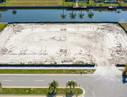
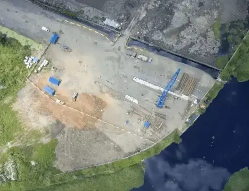
A comprehensive land survey examines everything from underground utilities to elevation changes that could impact drainage systems. Surveyors also check for encroachments, verify property lines, and document existing structures. This information becomes critical when buying a property or planning new construction.

Areas of Expertise
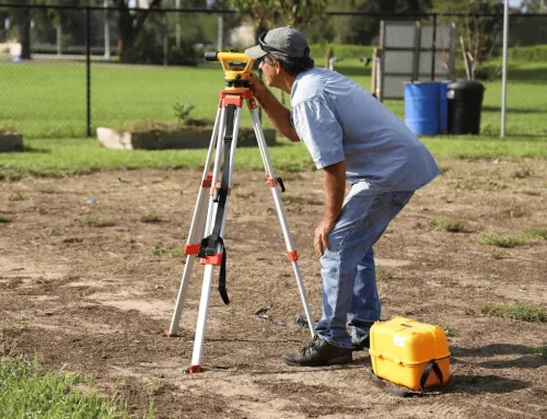
Construction Staking
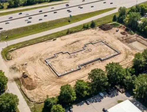
Construction staking puts your building plans into physical reality. Surveyors place markers that show contractors exactly where foundations, walls, and utilities need to go. This step prevents costly mistakes and keeps construction teams working efficiently. When stakes are placed accurately, there’s no confusion about where things belong.
Boundary Surveys
Boundary surveys settle disputes and establish clear property lines. These surveys research historical records, examine existing monuments, and use modern technology to determine where your property actually begins and ends. They’re required for most commercial transactions and provide legal protection if questions arise later.
Topographic Surveys
Topographic surveys map the lay of the land, showing elevation changes, natural features, and existing improvements. Architects and engineers use this data to design buildings that work with the terrain instead of against it. In Seattle’s hilly terrain, topographic information becomes especially important for drainage planning and foundation design.
Land Mapping
Land surveying creates detailed maps that document every feature of a property. These maps serve as reference documents for planning, design, and construction phases. They also become part of the permanent record when projects are completed.
Corner Records
Corner records document property corners for future reference. Surveyors file these records with local authorities, creating a permanent record that helps resolve boundary questions. This documentation protects property owners and simplifies future surveys.
As-Built Surveys
As-built surveys verify that construction matches approved plans. They’re often required before issuing certificates of occupancy and provide documentation for warranty purposes. These surveys catch discrepancies early, when they’re easier to fix.
Why Choose a Seattle Surveyor?
Local knowledge is critical, since surveyors who work regularly in Denver know the permit process, building codes, and common regulatory hurdles. They also understand local terrain, whether it’s steep slopes, rocky soil, or waterfront areas, and how these factors affect project feasibility. This expertise streamlines approvals, ensures accurate documentation, and keeps projects moving instead of stuck in review.
Tailored Surveying Services
Precise Design Surveys
Design surveys provide the detailed information architects and engineers need for planning. These surveys go beyond basic measurements to capture every feature that could affect design decisions. They include utility locations, drainage patterns, vegetation, and adjacent structures.
Topographic Surveys for Planning
Planning-phase topographic surveys help identify potential issues before design work begins. They show grade changes, drainage problems, and site constraints that influence building placement. This early information prevents expensive redesigns later in the process.
Why We Stand Out in Seattle
Reliable surveyors keep projects on track with clear communication, on-time delivery, and accurate data that forms the basis for design and construction. Modern tools like GPS and land survey drones capture detailed site information quickly, reducing costs while improving precision. Efficient teams deliver fast results for closings or permit deadlines without cutting corners.
Frequently Asked Questions
What Does a Commercial Land Surveyor Do?
A commercial land surveyor measures and maps properties for development projects. They establish boundaries, identify easements, document topography, and verify zoning compliance. Their work provides the accurate data needed for design, construction, and legal transactions.
How Long Does a Survey Take in Seattle?
Timeline depends on property size and survey complexity. A basic boundary survey for a small commercial lot might take a few days, while a comprehensive ALTA survey for a large development site could require several weeks. Drone technology speeds up data collection for larger properties.
What Documents Are Needed Before a Survey?
You’ll need the property deed, previous surveys if available, and any site plans or drawings. Tax maps and title reports help surveyors research property history. Having these documents ready speeds up the process.
How Much Does a Commercial Survey Cost?
Cost varies based on property size, survey type, terrain, and timeline requirements. Simple boundary surveys start around a few thousand dollars, while complex ALTA surveys for large commercial sites run significantly higher. Request a quote for accurate pricing specific to your project.
Building in Seattle? Lay the Groundwork With a Professional Surveyor
Seattle’s commercial real estate market moves fast. Projects that get off to a solid start with accurate surveying avoid the delays and cost overruns that plague poorly planned developments. Whether you’re acquiring land, planning construction, or resolving boundary issues, professional surveying provides the foundation your project needs.
Don’t let inaccurate data or regulatory surprises derail your timeline. Get expert surveying services that understand Seattle’s unique requirements and deliver results you can build on. With the right surveyor, you’ll have confidence in every measurement and peace of mind knowing your project starts on solid ground.
