
Accurate land surveying is essential for property transactions, construction projects, and resolving boundary disputes in North Dakota. A survey provides legal documentation of property boundaries, ensuring clarity and preventing future issues. Without a proper survey, property owners may face costly disputes or legal challenges.
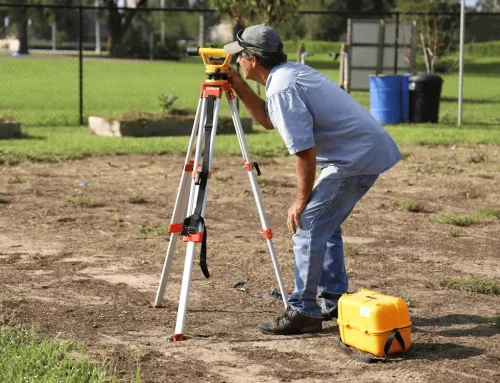
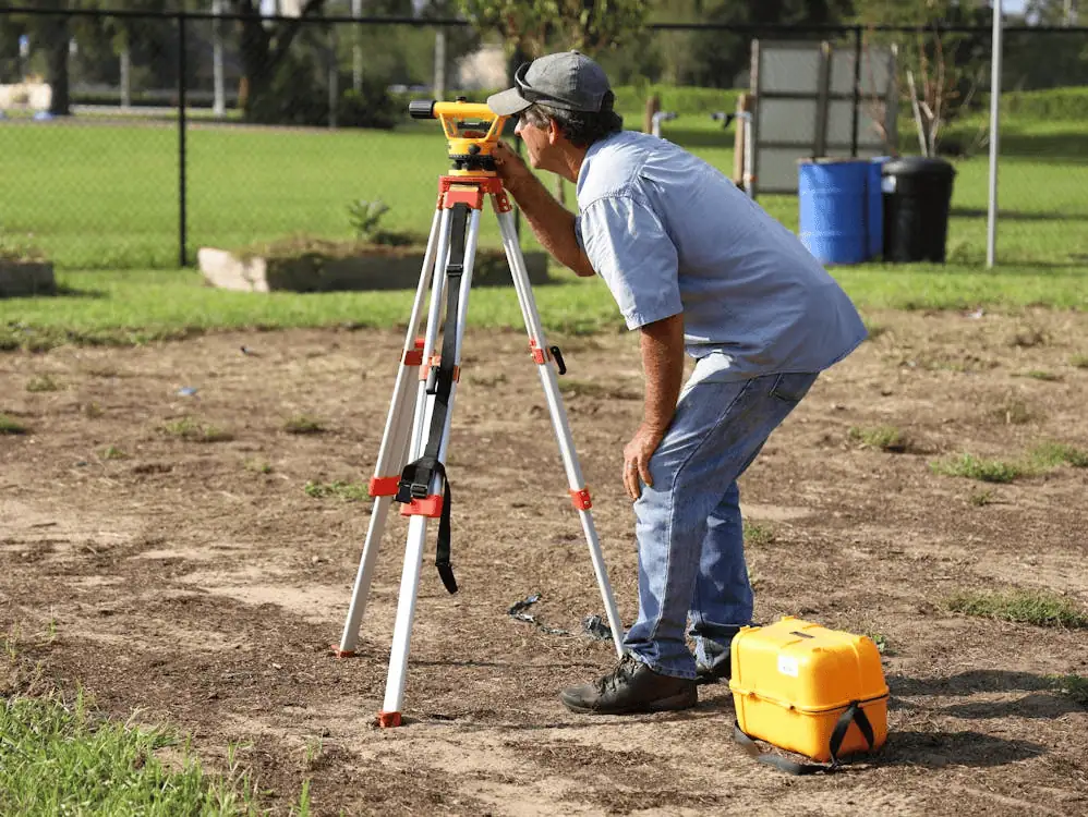
A professional land surveyor ensures property lines are properly measured and recorded. These experts use advanced equipment and follow strict regulations to provide accurate results. Hiring a licensed surveyor can protect your investment and ensure compliance with state laws.
North Dakota Land Surveying Laws
Land surveying in North Dakota is regulated by the North Dakota State Board of Registration for Professional Engineers and Land Surveyors. Surveyors must complete specific education and experience requirements before obtaining a license. These laws ensure that all surveys meet accuracy standards and legal guidelines.
Property surveys must comply with state and local zoning laws. Regulations may vary based on county and city ordinances, especially in growing urban areas. Understanding these laws can prevent legal issues and help property owners make informed decisions.

Common Types of Land Surveys
Different surveys serve different purposes. Here are some of the most common ones used in North Dakota:
1. Boundary Surveys
These determine property lines and help resolve disputes between neighbors. They are often required for new property purchases. Without a boundary survey, ownership conflicts can arise and lead to expensive legal battles.
Surveyors use historical records and modern technology to establish property lines accurately. The results are legally binding and provide clarity for all parties involved. This type of survey is critical when purchasing land or constructing fences and buildings.
2. ALTA/NSPS Land Title Surveys
Used for real estate transactions, these surveys provide detailed information about property boundaries, easements, and improvements. Lenders and title companies often require them for commercial property transactions. These surveys help confirm that a property’s legal description matches its physical boundaries.
ALTA surveys follow strict national standards to ensure uniformity. They provide detailed property insights, including access points and zoning restrictions. These reports help buyers, lenders, and title insurers make well-informed decisions.
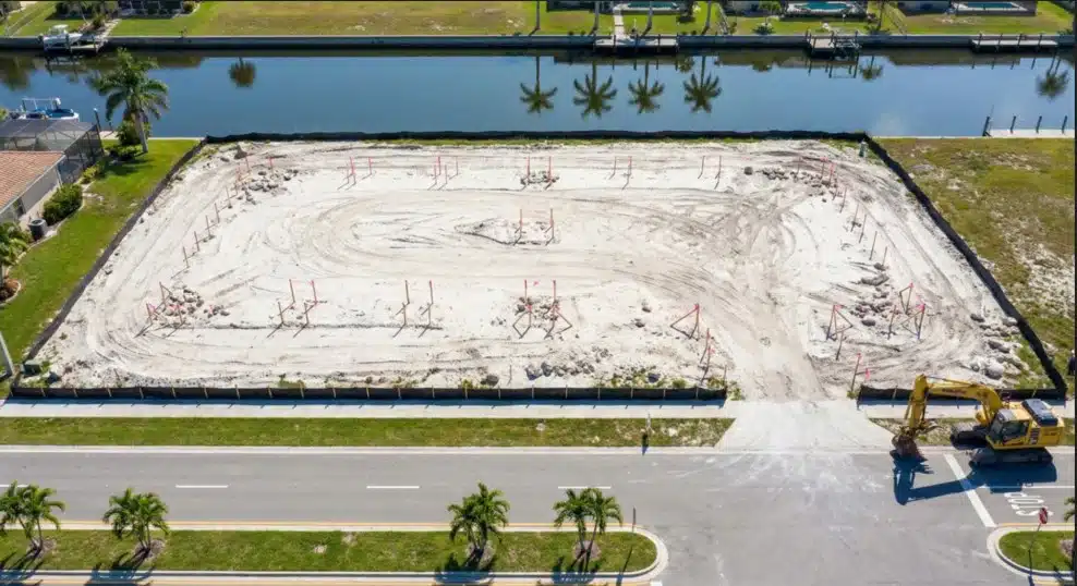
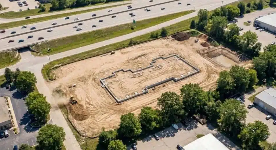
3. Construction Surveys
Essential for new developments, these surveys guide construction projects to ensure buildings and infrastructure are placed correctly. Contractors use them to align structures with engineering plans. Without precise measurements, costly errors and project delays can occur.
Construction surveys provide elevation data, layout guidance, and staking points. Engineers and builders rely on these reports to meet design specifications and building codes. Ensuring accuracy at the start prevents issues later in the project.
4. Topographic Surveys
These maps show natural and man-made features on a property, which is important for development planning. Elevation changes, drainage patterns, and vegetation are documented in detail. Engineers use this information to design roads, drainage systems, and construction projects.
Topographic surveys help prevent construction issues caused by uneven terrain. Planners can make informed decisions about site modifications and grading. These surveys are essential for environmental assessments and urban development.
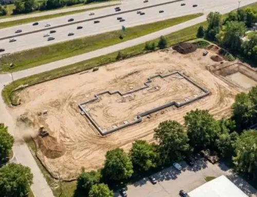
5. Subdivision Surveys
These divide larger tracts of land into smaller parcels for development or sale. Developers use them to create residential or commercial plots. These surveys ensure that new subdivisions comply with zoning and land-use regulations.
Subdivision surveys also establish roads, utility access points, and lot boundaries. Proper planning helps prevent disputes over land ownership and infrastructure placement. These types of land survey are essential for real estate development projects.
Who Pays for a Land Survey?
The responsibility for survey costs often depends on the type of transaction. Buyers usually cover the cost when purchasing property, while developers and construction companies factor surveys into project budgets. Some lenders may require buyers to obtain a survey before approving a mortgage.
In some cases, sellers may provide a previous survey to save costs. However, if the survey is outdated, buyers might need a new one. Learn more about who pays for a surveyor.
How Much Does a Land Survey Cost in North Dakota?
Survey costs vary based on property size, location, and survey type. A basic boundary survey typically costs between $500 and $1,500, while complex ALTA surveys can exceed $2,500. Larger or rural properties often require more time and resources, increasing costs.
Factors like terrain difficulty and research requirements also affect pricing. It’s best to request quotes from multiple surveyors to compare land survey cost.
How to Get a Land Survey in North Dakota
1. Find a Licensed Surveyor
Look for a licensed professional who understands North Dakota’s regulations. Verify their credentials and experience before hiring. Choosing an experienced surveyor ensures accurate results.
2. Provide Property Details
Give the surveyor all necessary details, including location, size, and purpose of the survey. Some projects may require additional documents, like deeds or old survey records. Clear communication helps avoid delays.
3. Get a Cost Estimate
Request a quote based on your specific needs. Prices vary depending on the complexity and location of the survey. Comparing estimates from different surveyors can help you find the best value.
4. Schedule the Survey
Once you approve the estimate, the surveyor will schedule a visit to your property. The process may take a few days to complete, depending on the size of the land. Proper scheduling ensures timely results.
5. Receive the Survey Report
You’ll receive a detailed report with property measurements and legal documentation. These documents are essential for real estate transactions and construction planning. Keep the land survey records for future reference.
Why Land Surveys Matter in North Dakota
With North Dakota’s vast landscapes, accurate property boundaries are essential for agriculture, real estate, and construction. Surveying helps prevent disputes over farmland, commercial properties, and residential lots. Proper documentation ensures clear property ownership.
An incorrect survey can lead to costly legal disputes and project delays. Working with a professional ensures accuracy and compliance with state laws. Investing in a land survey now can save time and money in the future.
Before starting your project, make sure your property lines are accurate. Contact a licensed surveyor to get precise measurements and avoid legal disputes. Get in touch with us today to schedule a land survey and ensure your property is properly documented.
Conclusion
If you need a reliable land survey in North Dakota, work with licensed professionals who understand state regulations. Whether you need a boundary survey, ALTA survey, or construction survey, choosing the right expert ensures accuracy and legal compliance. Avoid future disputes and project delays by hiring a qualified surveyor today.


