Understanding where your property begins and ends isn’t always as simple as looking at a fence or driveway. A survey property line defines the legal boundaries of a parcel of land. It’s based on precise measurements taken by licensed professionals using specialized tools and standardized methods.
For homeowners, developers, and real estate investors alike, knowing exactly where these lines fall can help avoid costly legal disputes, like boundary violations that can lead to thousands in court fees or construction delays.
Let’s break down what survey property lines really mean, why they matter, how they’re determined, and what to expect if you’re planning to get one.
What Is a Survey Property Line?
A survey property line is a legal boundary that defines the limits of a piece of land. Unlike a visible fence or assumed edge, it’s determined by a licensed land surveyor through a formal process. These boundaries are recorded in legal property documents and often used during transactions, zoning approvals, and construction projects.
Property lines are not just a formality. They affect ownership, development rights, access, and more. That’s why it’s common to get a property line survey before buying or selling a home, starting construction, or resolving neighbor disputes.

Why Property Line Surveys Matter
A vague idea of where your land ends isn’t enough when money, safety, and legal responsibility are on the line. Here are a few key reasons why a property line survey might be essential:
- Prevent boundary disputes. Even friendly neighbors can run into disagreements about fences, trees, or additions.
- Enable construction. Builders and contractors need accurate boundaries to avoid zoning violations or building on someone else’s land.
- Secure financing. Lenders often require surveys during real estate transactions to verify property dimensions and structures.
- Protect your investment. Whether it’s adding a garage or selling the land, clear boundaries safeguard your financial interest.
Related: What Are The Land Surveys Symbols and Abbreviations?
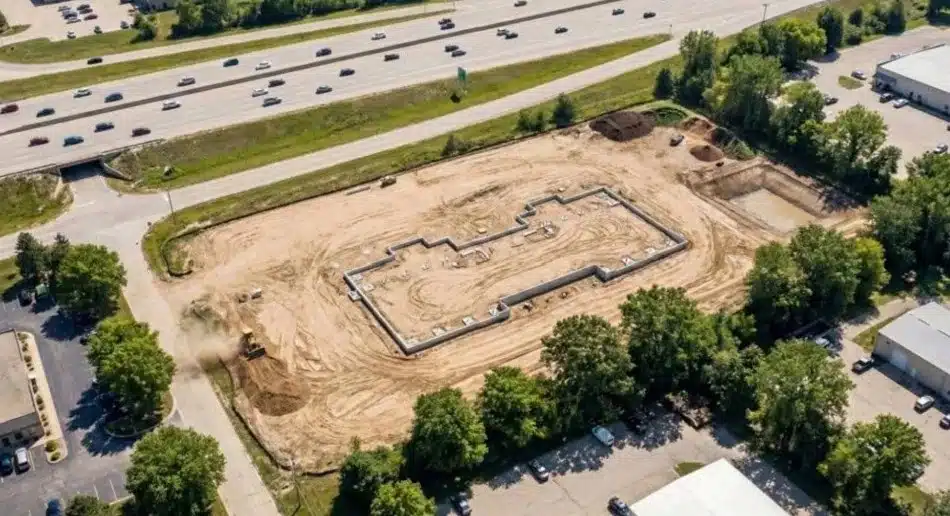
What Happens During a Property Line Survey?
The process typically follows a few core steps:
- Initial Research: The surveyor reviews deeds, plats, and public records to understand historical property lines.
- Fieldwork: Using tools like GPS and total stations, the surveyor physically marks the land.
- Analysis: They compare findings to existing legal documents.
- Drafting: A survey map is created showing boundaries, structures, and relevant features.
- Delivery: The final survey is shared with the client and, in many cases, a title company or lender.
Survey maps may also include notes on easements, encroachments, and utility lines.
Related: How Long Is a Land Survey Good for?
Common Issues Survey Property Lines Help Avoid
Getting an accurate survey helps catch problems early. Here are some of the most common, and costly, issues that show up on property surveys: a 2022 survey by the American Land Title Association found that boundary-related disputes, like encroachments and easements, occur in over 20% of residential sales. Resolving them can cost thousands in legal fees, delayed construction, or even forced changes to buildings or fences.
- Encroachments like fences, sheds, or driveways crossing into neighboring lots.
- Unrecorded easements or utility rights-of-way affecting use.
- Zoning violations from structures placed too close to a property line.
- Property line disputes that escalate into legal action.
By addressing these issues proactively, you can avoid delays, fines, or having to move existing structures.
Who Conducts Property Line Surveys?
A survey property line must be certified by a licensed land surveyor. While this is a legal requirement, it’s also a quality control measure, surveyors undergo years of training to ensure accuracy, legal validity, and compliance before their findings can be used in official records or court. These professionals undergo rigorous education and training, often passing national exams like the NCEES and completing multi-year internships before earning their credentials.
Their role is more than just marking boundaries. They ensure that the results are legally valid, comply with local and state standards, and can be used in court if needed.
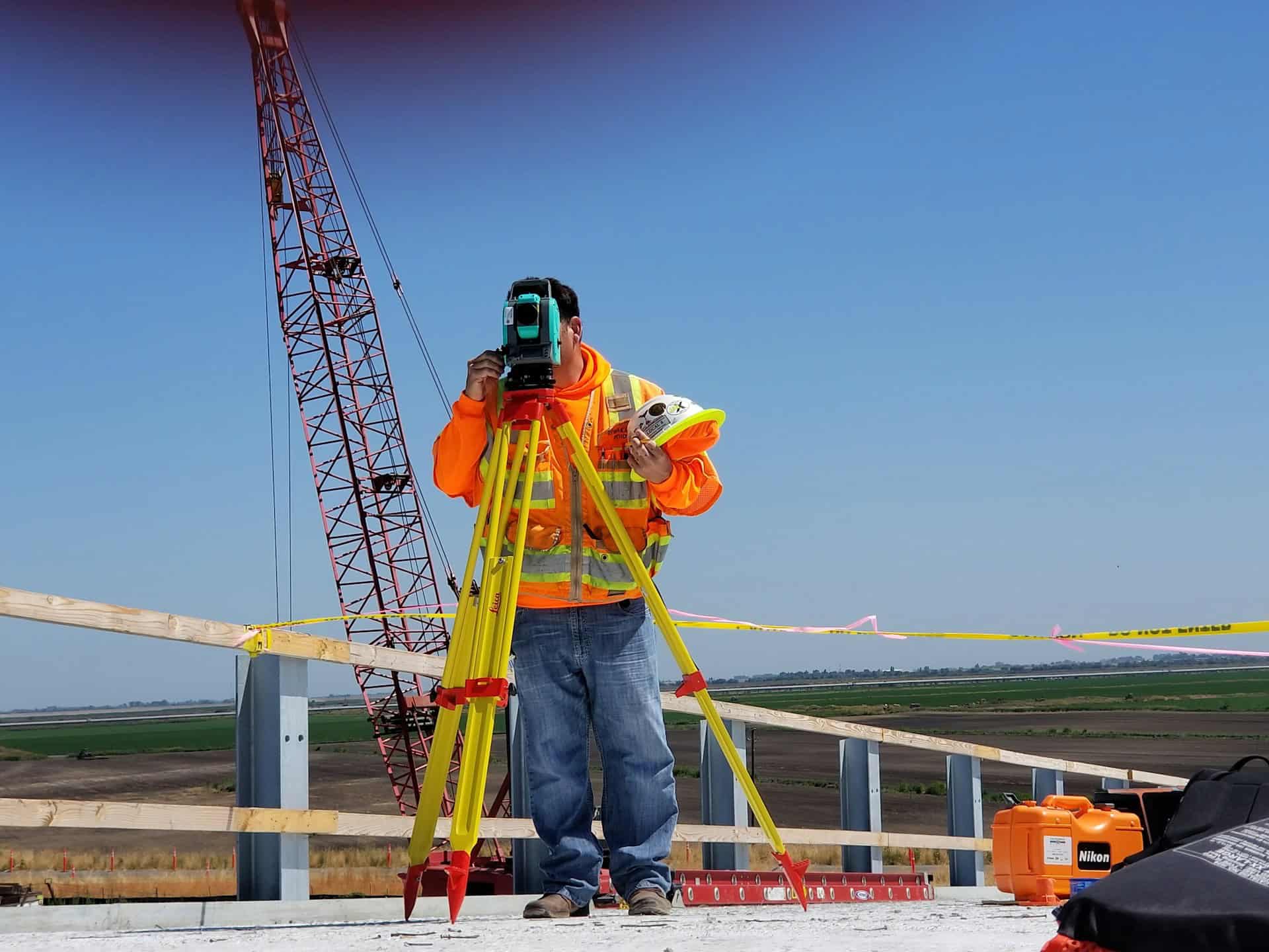
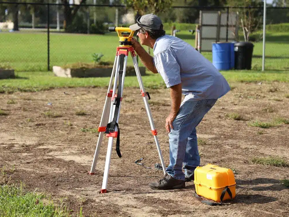
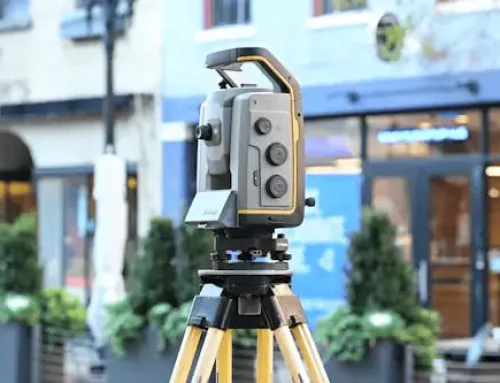
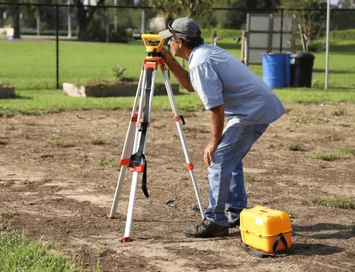
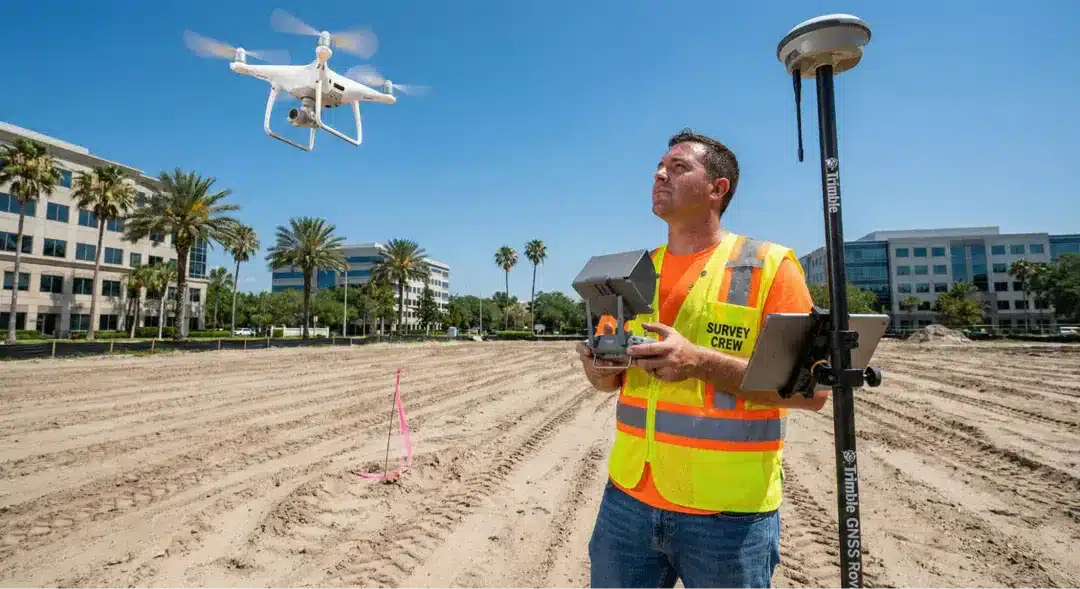
What Tools Do Surveyors Use?
Modern surveyors use a combination of:
- GPS units for satellite-based measurements
- Total stations to measure angles and distances
- Drones to map large areas quickly
- CAD software to draft official survey maps
These tools work together to generate highly accurate measurements and base maps, even in uneven or wooded terrain.
When Should You Get a Property Line Survey?
You might not need a survey every day, but here are times when it becomes critical:
- Before buying or selling real estate
- When building a new structure or installing a fence
- If your neighbor’s construction crosses onto your lot
- During rezoning or permit applications
- If you’re unsure where your legal boundary falls
Understanding what is a land survey can help clarify which type of survey fits your situation best.
How Property Line Surveys Differ from Other Surveys
There are many types of land surveying depending on the situation. Here’s how a property line survey compares to others:
- Boundary surveys focus solely on establishing lines between properties.
- Topographic surveys map the shape and elevation of the land.
- ALTA/NSPS surveys are comprehensive and used in commercial transactions.
- Construction staking helps guide building placement.
A property line survey is usually more detailed than a simple boundary check but less involved than a full ALTA survey. It often balances cost and precision.
How Much Does a Property Line Survey Cost?
The price of a property line survey depends on a few things: location, property size, terrain, and how accessible records are. On average, homeowners can expect to pay between $400 and $1,000. If you’re surveying a larger lot, dealing with dense woods, or need extra documentation (like for legal disputes), expect to be closer to the higher end or beyond.
For example, a half-acre lot in a suburban neighborhood with clean title records might cost under $600. But a rural or oddly shaped parcel without good documentation could easily double that. Choosing a firm with in-house surveyors, like Millman, often streamlines the process and keeps costs more predictable by cutting out third-party delays.
Costs vary based on location, lot size, terrain, and how easy it is to access historical records. For a standard residential property, you might expect to pay between $400 and $1,000. Larger or more complex properties can cost more.
Hiring a firm with its own in-house surveyors, like Millman, can also impact pricing by reducing outsourcing and streamlining project timelines.
What to Expect on the Survey Report
Your survey report will include:
- Legal description of the land
- A scaled map with property lines
- Notes on encroachments, easements, and structures
- Surveyor’s seal and signature
If there are any concerns, you can raise them with the surveyor directly or consult a real estate attorney.
Don’t Leave Property Boundaries to Guesswork
A property line survey isn’t just about lines on a map. It’s about protecting your rights, avoiding surprises, and making confident decisions. Undefined or misinterpreted boundaries can lead to major issues, like finding out mid-construction that part of your new garage sits on your neighbor’s lot, forcing you into costly legal fixes or even demolition.
Whether you’re buying, selling, building, or resolving a dispute, a survey keeps things clear and above board.
If you need expert help, contact Millman National Land Services to get started.
