
The time has come for the new revised 2021 ALTA/NSPS standards to soon go into effect. These standards were last updated in 2016, so you can imagine how many land surveyors there are who have been eagerly waiting to find out what has changed. However, although notice of the changes has been circulating, it’s essential to note that they will only come into effect on 23 February 2021.
This article aims to provide you with the most up to date and relevant information regarding the primary changes made to the ALTA/NSPS standards, as well as a bit of background on what exactly ALTA/NSPS land surveys is. It’s vital to know as much as you can about the land you’re involved in. Whether you’re a developer, a buyer, a real estate, or a surveyor yourself, this simple guide is sure to assist you.
Related: How Long Is a Land Survey Good for?
Briefly: What Exactly Is an ALTA/NSPS Land Survey, Why Is It Important, and How Is It Used Today?
First things first, ALTA stands for the American Land Title Association, and NSPS stands for the National Society of Professional Surveyors. The ALTA/NSPS land survey was developed to provide uniformity and consistency to the title insurance industry. This survey is known widely in the industry as the benchmark of comprehensive surveys.
The two associations collaborated to bring together a national set of guidelines that would give an assortment of people a basis for the minimum standard detail requirements for surveys nationwide. Additionally, an ALTA survey is recognizable in the real estate industry as the gold standard for commercial real estate land surveys.
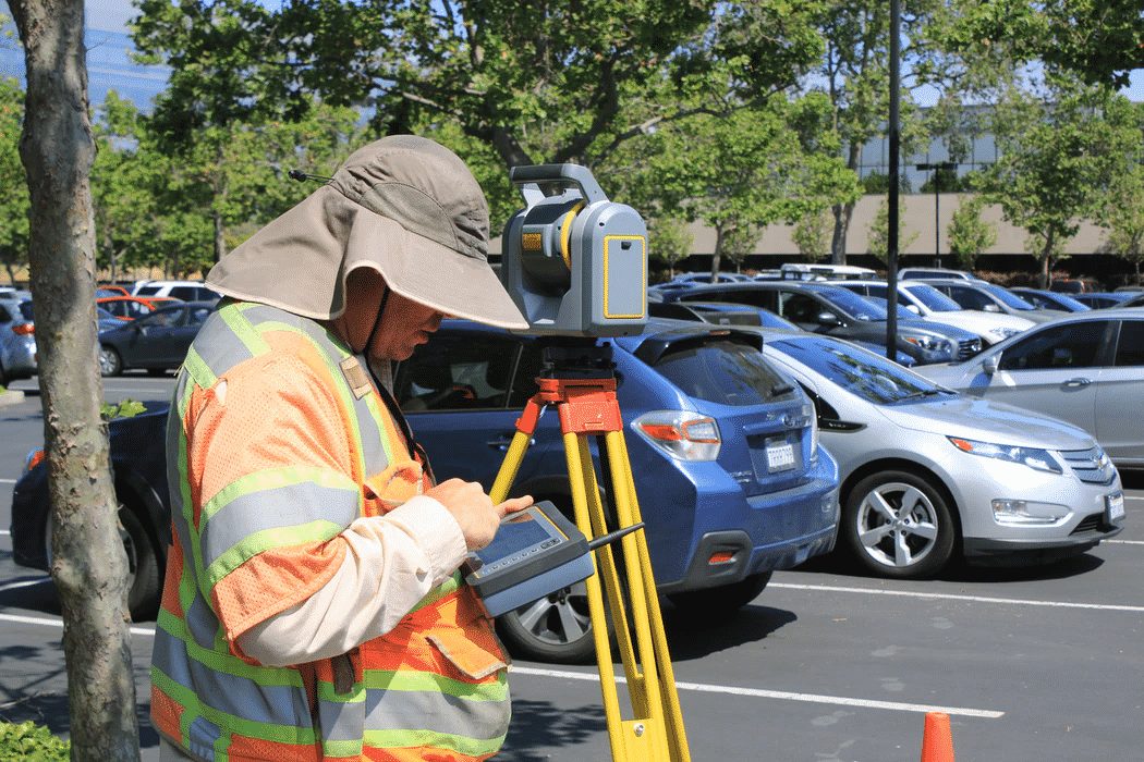
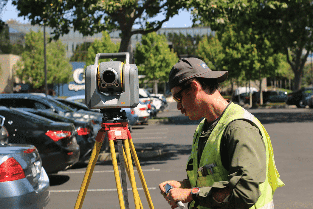
A lot of thought processing goes on behind the scenes of land developing projects. An ALTA survey is a critical component that title professionals and lenders, in particular, utilize to minimize the risks surrounding liability. A properly conducted and recorded ALTA/NSPS survey will provide accurate insights into a property in theory. Giving the various parties involved a comprehensive report of the survey, ensuring no issues relating to the site are left unaddressed. Fortunately, many companies can provide this service, such as the company Millman who provides a host of national land services, including ALTA surveys.
Therefore an ALTA/NSPS survey is essential for numerous parties to be made aware of any on-site issues that might not be apparent in public records. This helps title insurance companies and lenders to complete their jobs correctly and reduce their chances of liability.
These Are the Main ALTA/NSPS Changes For 2021
As previously mentioned, the 2021 standards only go into effect on February 23, 2021. Below we’re going to look at the sections where there are key changes to the ALTA/NSPS survey.
Section Four: Records Research
The main change in section four is that many of the statements have been reworded. The subcategories have also gone through an update to simplify precisely what records are required for a land surveyor to prepare and conduct an ALTA survey correctly.
Section Five E: Easements and Servitudes
In section 5E, the most notable change involves “utility locate markings.” The update will affect surveyors’ requirements to locate utility poles within ten feet of the specific properties’ lines.
Related: Does The Buyer or Seller Pay For a Land Survey?
Should you wish to learn more about the ALTA/NSPS guidelines, or should you want to learn more about ALTA surveys, you can have a look at the Millman website today.
Section Six C: Easements and Servitudes, Access and Documents and Rights of Way
This section’s primary change is that surveyors will be required to add specific wordings and notes to each title exception after interpreting it. In the subcategory 6Cii, (a) the wording has been changed to ‘its location is shown.” This is a minor change to the 2016 version and sees all previous letters simply shifting down a letter with some minor changes to a few words. .’
In addition to these changes, a new subcategory known as 6Cviii will be evident. This new subcategory states that surveyors will need to advise the title company if they become aware of a recorded easement that is not seen as listed in the title commitment. The surveyor will also have to make sure it’s clearly shown on the survey’s face with a note stating that the title company has been advised. If the title company should give evidence that the easement is released, the surveyor doesn’t need to note this on the survey.
Changes to Optional Table A
In 2016 the ALTA/NSPS standard guideline, table A item 11, was possibly the most frequently misinterpreted and misunderstood. Therefore the significant change is that article 11 will be vastly different so that it’s more transparent and easier to understand for all parties. Importantly the word “underground” has been written into the definition alongside two other options that were created specifically to be included in item 11. In 2021 a client will now have to choose an option “if” they will require underground utilities and how they want those utilities to be established.
Another change to this section is table A item 19, which has become table A item 18. In particular, the wording in this section has undergone some alteration. If the “underground” option is chosen, the surveyor will need to locate the improvements within offsite easements per the requirements of sections 5 and 6. Should the client state that they do indeed need offsite easements plotted but require no improvements, then a Table A item 20, 21, and so forth will need to be created.
To find out how you can go about getting an ALTA land survey done, you can contact Millman, who can assist you at your earliest convenience.
Now You Know What’s Changing!
Hopefully, you should now know the significant changes to the new ALTA/NSPS guidelines for 2021. With the many sections’ rewording, surveyors should have a greater sense of clarity and find them easier to understand. In addition, a new subcategory has been added, and the changes to optional table A will be likely to cast some light on the oft misinterpreted item in the standard guidelines.
Related: Who performs ALTA land surveys?
2016 ALTA/NSPS Standards Guide
The “Gold Standard” in land surveying for the commercial real estate market has always been the ALTA/ACSM Land Title Survey, which, for purposes of this article, I will call the “ALTA Survey”. This survey is one that meets the minimum standards set forth by the American Land Title Association (ALTA) and the National Society of Professional Surveyors (NSPS), formerly the American Congress of Surveying and Mapping (ACSM). This type of survey has been chosen by Buyers, Sellers, Lenders, Title Companies and their attorneys over the years because it provides each of these parties nearly everything they need in a survey when acquiring, selling or lending in a commercial real estate transaction.
In a real estate transaction, the title company will be asked to provide Buyer and Lender with a title insurance policy. That policy will contain a standard exception for matters that would have been revealed by an accurate survey of the property. In order to have the insurer delete this exception, the insurer will need to review an accurate survey of the property to discover if any matters do in fact affect the property being insured. In an effort to have the land surveyors provide a survey that will contain all the features that these parties need and to obtain some degree of consistency, the ALTA Survey was created.
In short, the ALTA Survey is a detailed boundary survey of the property and includes all improvements and easements or other record matters disclosed by the title company’s Commitment to Issue Title Insurance. There are also many optional items that the parties may require that the land surveyor includes in the survey; these are called Table A Optional Items.
The ALTA Survey standards were first adopted in 1962 and have been revised many times since then. On February 23, 2016, the newest standards will go into effect. The first change that experienced practitioners will notice is in the name. The American Congress of Surveying and Mapping (ACSM) merged with the National Society of Professional Surveyors (NSPS) and the name of the ALTA Survey standards has changed from Minimum Standard Detail Requirements for ALTA/ACSM Land Title Survey to Minimum Standard Detail Requirements for ALTA/NSPS Land Title Survey.
Other changes will be discussed in depth in future articles but here is an overview of the changes:
*Changes to what the Client must provide the surveyor for the project (title commitment, or other title evidence, record descriptions of adjoiners, easements benefiting and burdening the property, etc);
*Changes dealing with the precision of on the ground measurements;
*The former Table A Item 11(a) “observed utilities” is now no longer optional but a part of the minimum standards;
*A Table A Item for matters that are negotiated between the Surveyor and his or her client;
*The requirement that a zoning report or letter must be provided to the Surveyor in order to address Table A Item 6 – Zoning;
*Modifying the Table A Item on Wetlands (formerly 19, now 18) such that a field delineation of any wetland areas must be done by an expert in order for the Surveyor to address such areas on the Survey;
*Removing Table A Item 20(b) (now 19) regarding off-site easements.
In the days to come, more articles addressing some of these changes in a more detailed manner will be published.
Vincent Macauda is available to provide on-site or web-based presentations on the new ALTA/NSPS Land Survey Standards to your company or group. To schedule your presentation please contact Mr. Macauda at vmacauda@millmanland.com


