
In the commercial real estate industry, the term “due diligence” is tossed around all the time. “Due diligence” in the industry refers to the process of research, discovery, and declarations when purchasing or investing in a property. ALTA Land Title Surveys are a critical part of establishing trust in commercial real estate transactions. The highly detailed requirements for performing an ALTA land survey differentiates it from an ordinary border, boundary, or location survey.
Related: Property Rezoning: What You Need To Know
ALTA land surveys boast the highest standards in the land surveying industry. Title, legal, development, design, and finance professionals depend on ALTA Land Title Surveys to establish credibility. Most lenders for commercial property acquisitions and new development require ALTA land surveys before offering financing options. Millman National Land Services is America’s leading direct provider of ALTA Land Title Surveys. This article discusses what ALTA land surveys are and the difference between public and private road surveys.
ALTA Land Survey Standards
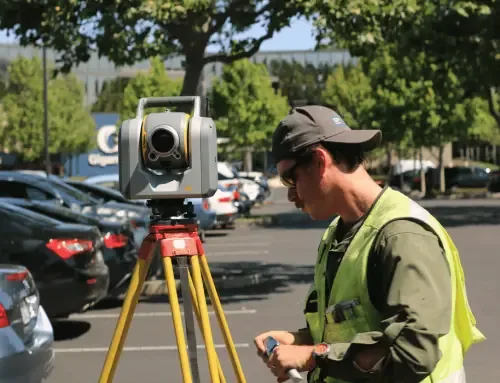
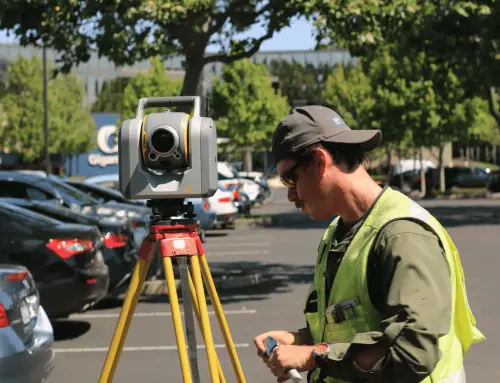
Before we delve into the difference between public and private road surveys, let’s discuss what ALTA land surveys are. An owner can commission an ALTA land survey from a qualified land surveyor. One of the key differences between ALTA land surveys and other kinds of surveys is that ALTA land surveys abide by national standards known as Minimum Detail Standard Requirements stipulated by both the National Society of Professional Surveys and the American Land Title Association.
Required & Optional Survey Elements

A wide range of elements crucial to mitigating risks like unrecorded easements and encroachments distinguish an ALTA land survey from generic surveys. Some of the characteristics stipulated in the ALTA land survey are:
- Location of structures on the site
- Boundary lines, such as lines that may be obscured or hidden by natural features such as trees, streams, and brush.
- Encroachments
- Easements, such as unrecorded easements
- Water features
- A plat or map illustrating boundaries and any new information recorded when the survey was prepared
- Where points of connection and utility lines are located
Optimal items for an ALTA survey are listed in Table A. The party commissioning the survey selects the Table A items incorporated. Lenders may also require table items such as delineating the flood zone for the property. One significant shift that happened with the February 2016 update for ALTA land surveys is that the responsibility for zoning analysis was changed from the surveyor to a certified zoning specialist. For Table A optional zoning items to be used in the report, the owner must give the surveyor an analysis or commentary from a third-party expert. Table A items are detailed further here.
Related: When Is an Environmental Site Assessment Needed?
Public Roads Vs. Private Roads
One of the critical concerns for lenders, buyers, and title companies when purchasing property is having access to the public roadway. When an ALTA/NSPS Land Title Survey is prepared per Section 5.B of the Minimum Standards, the responsibility falls to the surveyor to relay key information with road access in a clearly understandable way. The survey needs to openly establish whether the property in question has direct access to a dedicated “public” street or requires a “private” roadway to access public roads. To distinctly pinpoint the kind of access available, the surveyor will usually label the street by name and state “private” or “public” after the fact.
Have land survey needs? Work with Millman Land Services today.
What Are Public Roads And Private Roads?
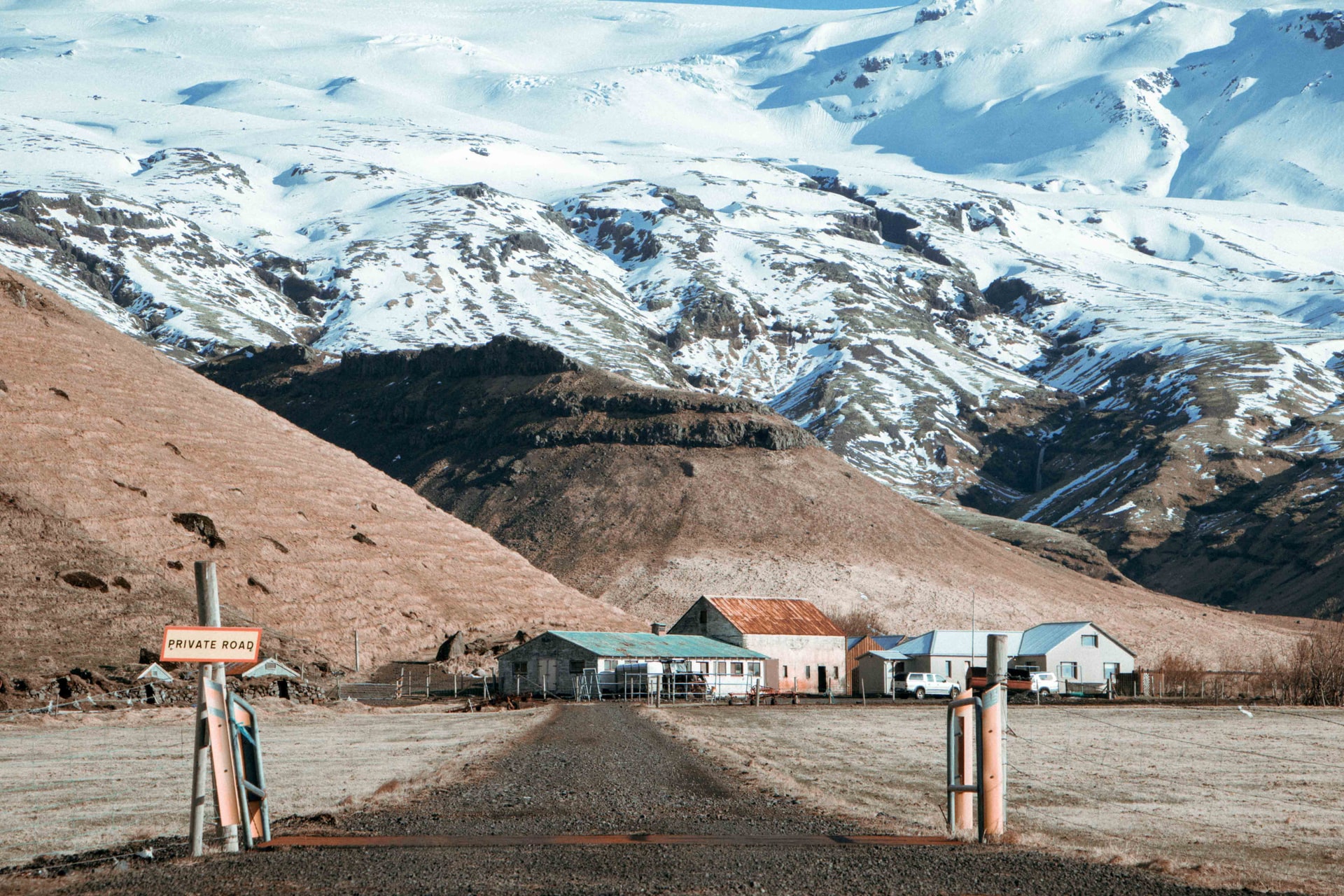
A “public” roadway refers to a road maintained by a governmental authority, which could be the city, county, state, or federal government. A “private” roadway refers to a roadway that is not maintained by any public authority. Most of the time, if a roadway is labeled “private,” the subject parcel may retain a right to use the roadway through reciprocal easement rights or beneficial easement rights. In some instances, a percentage of private roadway ownership may be shared communally by everybody who uses it for access.
One example of the latter is condominiums with ownership of common areas allowing all owners to access them. If the right exists, then the subject property may be required to maintain the “private” road. It’s essential to consider that it is not the surveyor’s responsibility to establish whether there is a right to utilize “private” roadways, but rather to illustrate that access to the property can be obtained through this right. Suppose the property does offer the rights for the use of a “private” roadway. In that case, the surveyor may be given notice by a review of the title commitment if the rights are declared, or by field, an observation noted by the surveyor at the time.
Suppose a beneficial easement right grants the use of the “private” road(s). In that case, it may be essential to incorporate Optional Table A Item 19, which calls for the surveyor to survey the easement right to comprehend exactly what is happening within the easement. If Optional Table A Item 19 isn’t used, the surveyor’s responsibility is solely to relay and depict the boundary or limits of the easement. Suppose only the limits of the easement are depicted. In that case, it’s challenging to establish whether there is actually an improvement within the right giving access to a “public” road or whether that access is blocked by an addition within the easement like a fence or building.
It’s essential to remember that Optional Table A Item 19 may be expensive if the appurtenant right was bestowed for a large parcel of land like a phase of a multi-family community or shopping center. Outparcels to shopping centers probably have applicable rights over a whole shopping center to utilize private roadways throughout the development.
The surveyor’s responsibility to implement notations or other maps, etc., when it comes to access over “private” road areas is designated and defined under Optional Table A Item 21 of Minimum Standards. Millman National Land Services’ expert Project Managers have decades of experience with such situations and are always there to give suggestions and answer any questions you have.
Related: Can You Build a House on Agricultural Land?
Millman National Land Services Provides Trusted ALTA Land Surveys
Millman National Land Services conducts ALTA land surveys and other land consulting services to the highest possible professional standards. Work with Millman National Land Services for your land survey needs today!
Have land survey needs? Work with Millman Land Services today.


