
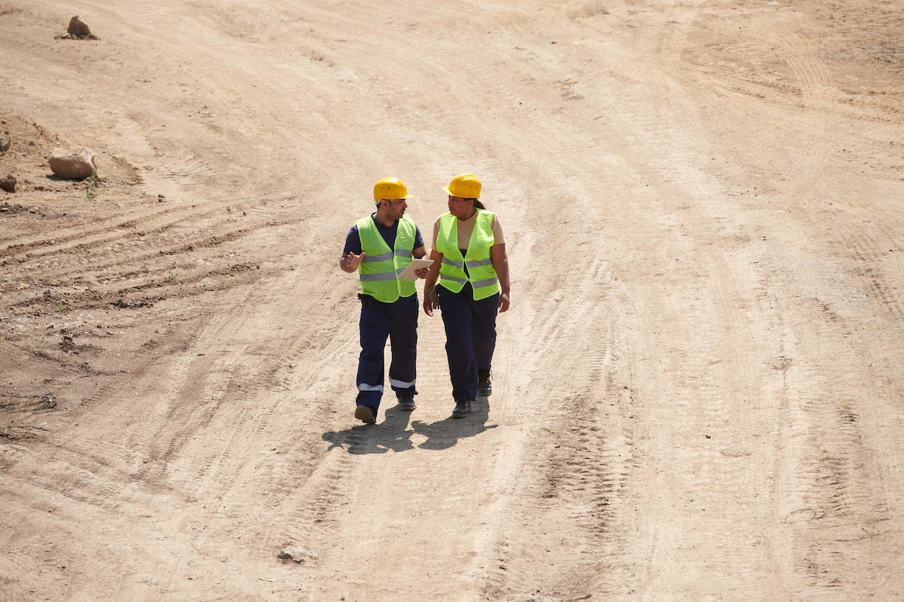
Utility locating is almost always required when taking on a project requiring excavation. It’s an important step of the process because utility locating allows trained professionals to use ground penetrating radars and other technologies to identify and map utilities underground.
Standard underground utilities include water pipes, gas lines, and telephone lines. These utilities are a vital part of our infrastructure, and the need for them to remain undisturbed is paramount.
Whether you’re planning a renovation of your real estate or are taking on a larger-scale commercial project, completing a thorough utility locating session is vital. This will prevent extremely costly problems from popping up as your excavation progresses and is essential for preventing major accidents.
Related: Boundary Surveys: When You Should Request One
What Is Utility Locating?
Utility locating is the process of using technology such as ground penetrating radar to create a map of all the cables, pipes, and other services under the surface of a site. A utility locator can chart where underground pipes and cables are so that these things can be avoided and planned around during your excavation.
Aside from ground penetrating radars (GPR), another form of technology known as electromagnetic induction (EMI) can be used. Other tools can also aid in the process, but these two are the most commonly used.
How Do You Use A Utility Locator?
Generally, an EMI will be the first utility locator used, and then a GPR can help supplement the results. An EMI works by generating, sending, and receiving an electromagnetic radio frequency into the ground.
Any conductive materials, such as telephone lines, gas lines, and electric lines, will be discovered by an EMI. Metal objects will be picked up by an EMI as well. However, this technology isn’t able to identify plastic pipes or anything more than 5 meters underground.
That’s why most locators will also run a check with a GPR. These devices can detect non-conductive utilities as well as metal ones. It works by sending a high-frequency radio pulse into the ground and formulates feedback based on how the pulses are reflected by things underground.
Using these methods before you begin your project is essential. Rather than risking damage to sensitive utilities underground, this process allows you to map out the existing infrastructure so you can complete a safe excavation.
Why Is Utility Locating Important?
Utility locating is essential for many reasons. The most obvious answer is that it protects the delicate infrastructure underground and prevents you from being liable for a costly repair job should you accidentally disturb one of those utilities during your excavation.
However, there are other reasons this process is important. Many utilities underground are electrical and pose a serious health and safety risk. Locating these utilities ahead of time will help your crew safe and prevent you from liability concerning an accident and injury.
Related: What To Look For When Buying Land For Commercial Use
When Do You Need To Contact A Utility Locator?
You’ll need to contact a licensed utility locator anytime you plan to take on a project that requires excavation or digging more than 16’’ into the ground. Simple residential projects can generally be handled by calling the national service line. Still, larger commercial or municipal projects need to contact a company that can perform utility location services.
A professional utility locator will use certain technologies, such as EMI and GPR, to create a map of gas lines, electrical lines, water pipes, and more underground. This is an absolute necessity for ensuring your project goes smoothly.
Utility locators use these technologies because, while utility maps exist to mark these things, they’re often outdated or inaccurate. Completing a new assessment of the utilities underground is essential for safety and liability reasons.
Are you looking to do an initial survey of your land before you take the next steps? Learn how Millman Land’s drone surveys can help give you a preliminary assessment of your site.
What Does USIC Locating Stand For?
USIC Locating stands for Underground Utility Location and Damage Prevention. The USIC is the infrastructure company in the US, and they’re tasked with marking underground utilities to prevent infrastructure damage.
Homeowners can ask for their service, and they also handle commercial and municipal requests. They will come to mark underground utilities per anyone’s request. This company also has an investigative unit where they explore damages to underground utilities when necessary.
How Long Does Utility Locating Take?
Utility locating isn’t often a lengthy process. The size of the site you need to have mapped will truly determine how long it takes, but generally, it should only take a day or two. Small areas could be mapped out in a couple of hours. Larger commercial spaces will take longer, but you can expect a licensed utility locator to complete the job quickly and professionally.
Related: Everything You Need To Know About Topographic Surveys
How Much Does Utility Locating Cost?

The cost of utility locating varies widely. In some instances, it could even be free. Homeowners looking to have utilities marked on their property can contact Dig Alert, which is a free service that will come out and mark the basic utilities on your property.
However, commercial and more extensive projects will require more than a free visit. You’ll need to contact a company that can perform this service and ask about their rates. Most companies will charge on an hourly basis, with rates averaging between $100-$300.
They might be able to get the job done in a couple of hours for a small plot of land. Larger sites can take a couple of days to complete, which will be a significant expense.
However, the expense of not going through with utility locating is much higher. If you don’t have this service performed before you begin excavation, then you’re fully liable for any damages or accidents that occur.
Summary
Utility locating is necessary for anyone planning an excavation project or a project requiring digging more than 16” underground. A licensed utility locator will use EMI and GPR technology to create a map of all the utilities underground, including water pipes, gas lines, electrical lines, telephone lines, and more.
Depending on the size of land you need to be scanned, this process can take a few hours to a few days. Making sure you have utilities marked before you begin work will increase your crew’s safety and lessen your liability risk in the event of an accident or injury.
Are you planning a large-scale commercial project and need the help of an experienced surveyor? Contact us at Millman Land to learn how we can help.


